MIR — Mapping Inspection Resources

Blue UAS-Aligned

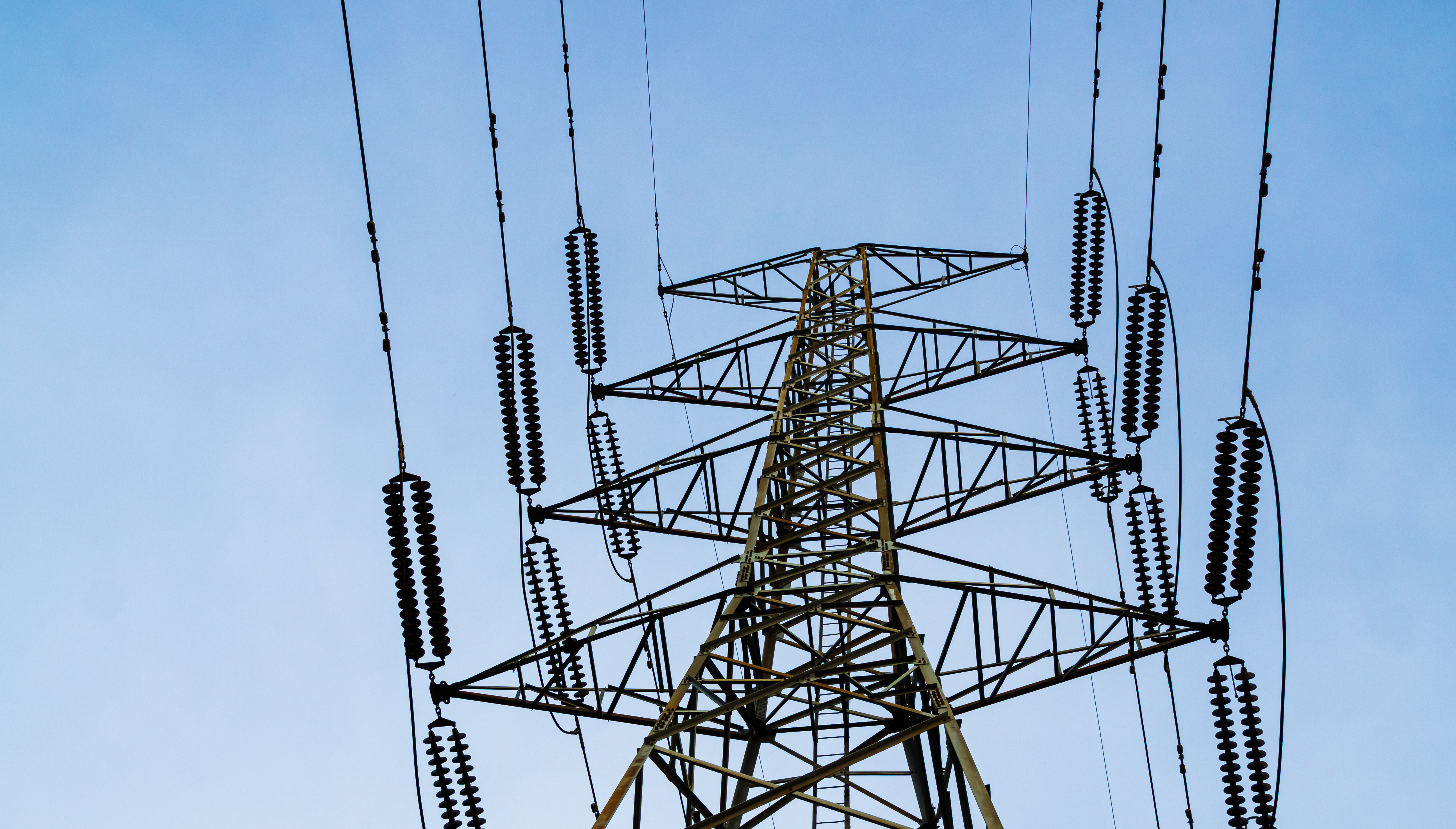
Defensible Aerial Data for Critical Infrastructure

MIR collects high-resolution RGB, radiometric thermal, RTK-referenced mapping, and LiDAR data — then delivers organized imagery, point clouds, models, mapping products, and inspection documentation built around the project decision.

  • Blue UAS Framework

    Freefly Astro platforms and payloads listed within the Blue UAS framework for procurement-sensitive missions.

  • $5M Aviation Liability

    Coverage built for infrastructure field operations.
  • Redundant Aircraft

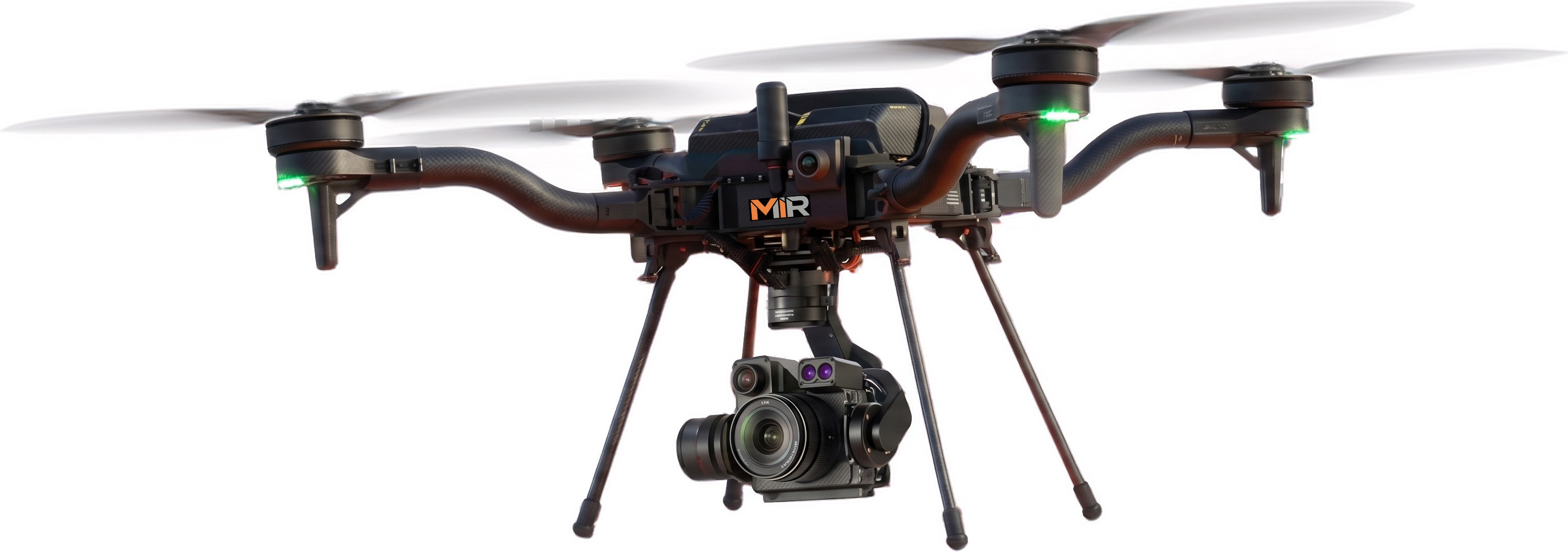
    Redundant Aircraft

    Dual American-made Freefly Astro platforms with RGB and LiDAR payloads for mission continuity.
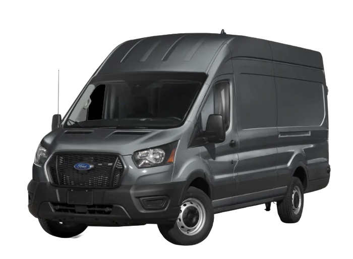
  • Mobile Field Support

    Charging, live viewing, and data review for sustained operations.

Capabilities & Deliverables

One Field Platform. Review-Ready Data Products.

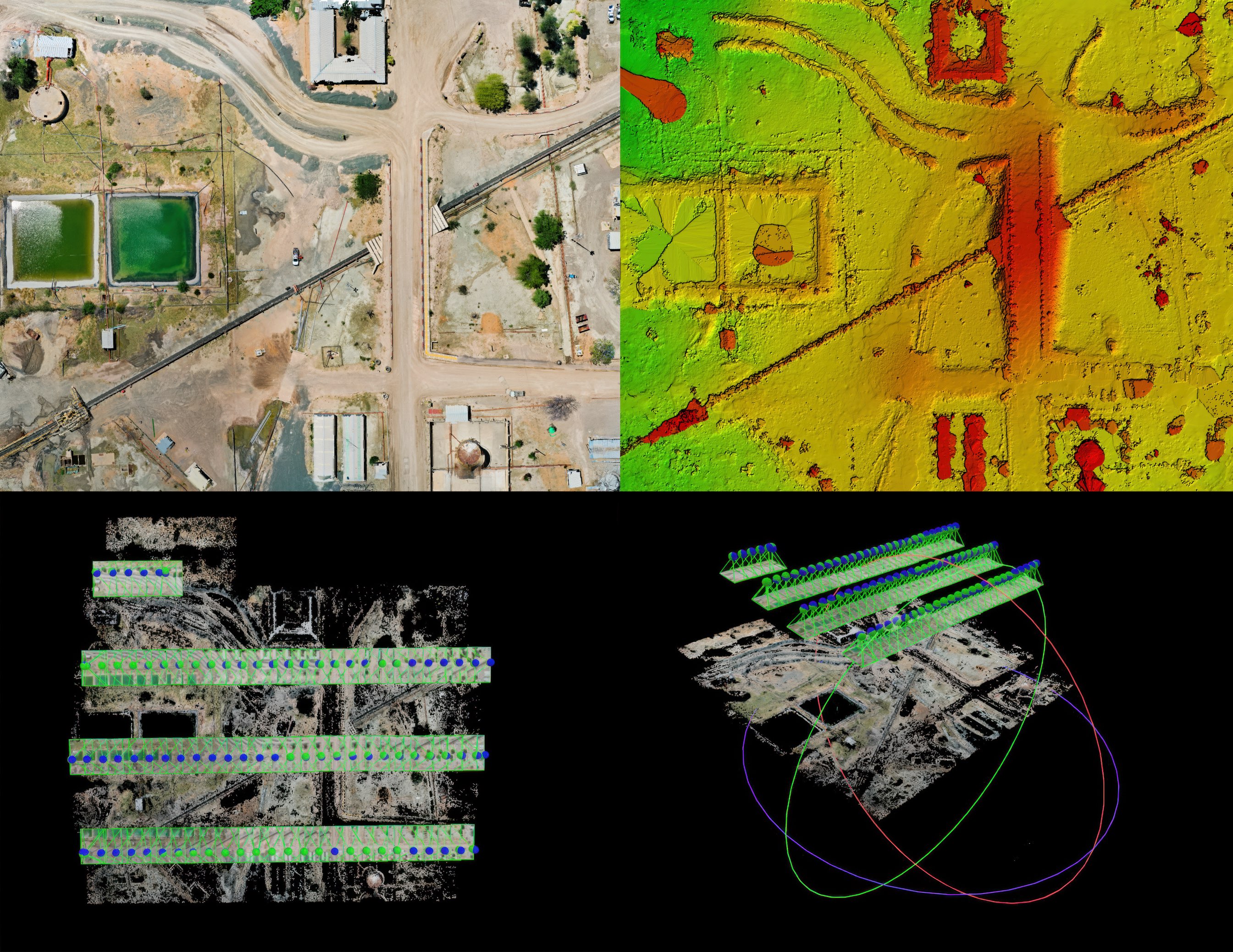
A single MIR field platform collects high-resolution RGB, RTK-referenced mapping, LiDAR, and radiometric thermal data — then turns it into organized data products your teams can review, share, and archive. Deliverables may include orthomosaics, DSM/DTM surfaces, 3D meshes, digital twins, LiDAR point clouds, contours, vector overlays, thermal imagery, and client-ready inspection documentation. Availability, accuracy, file format, and level of interpretation are established during project scoping and depend on site conditions and the selected collection method.

MIR provides aerial data and documentation support. Licensed survey, engineering, or design determinations remain with the appropriate professionals when required.

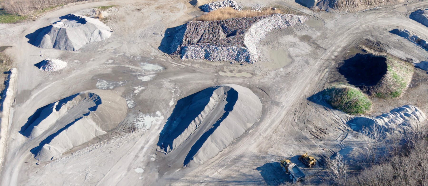
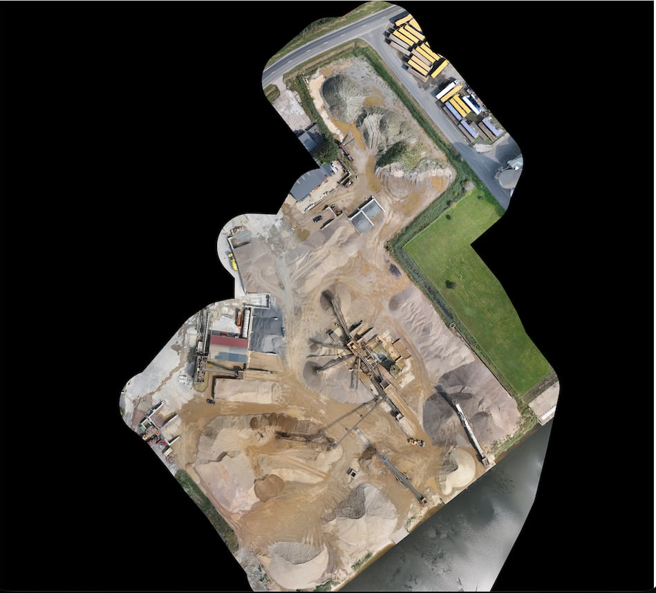
Georeferenced orthomosaic of an aggregate quarry site with clipped mosaic boundary, stockpiles, haul roads, and processing equipment

RGB Imagery & Orthomosaics

Structured 61MP RGB collection and georeferenced orthomosaics for condition review, documentation, and project records.
  • Site records
  • Progress maps
  • Facilities
  • Documentation
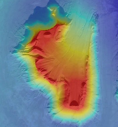
Drone-derived digital surface model of a stockpile with a blue-to-red elevation color ramp and hillshade relief used for volumetrics

RTK Mapping & DSM / DTM

RTK-referenced surface and terrain models for elevation review, grading, and site context.

  • Surface models
  • Grading
  • Earthwork
  • Site context
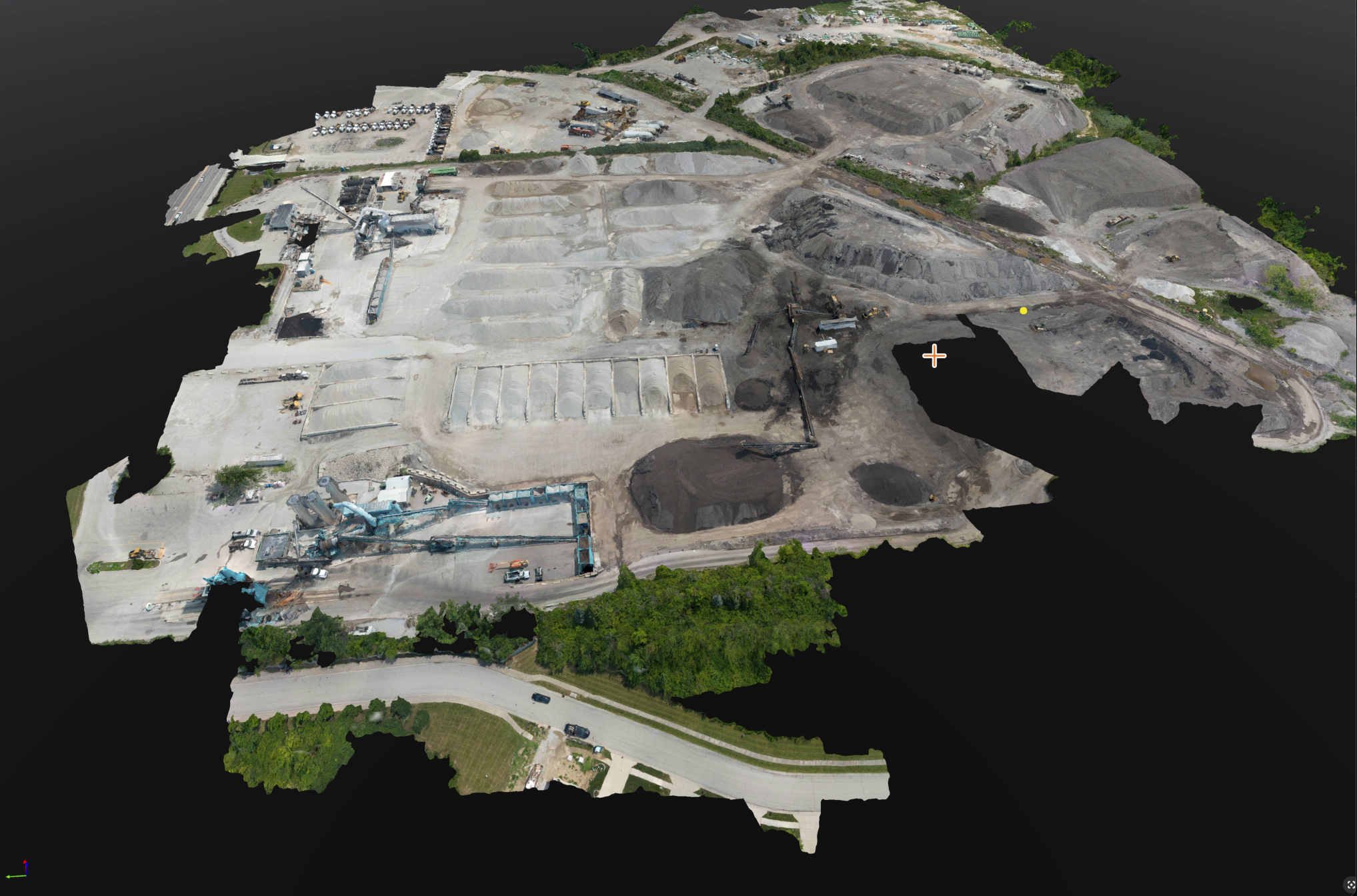
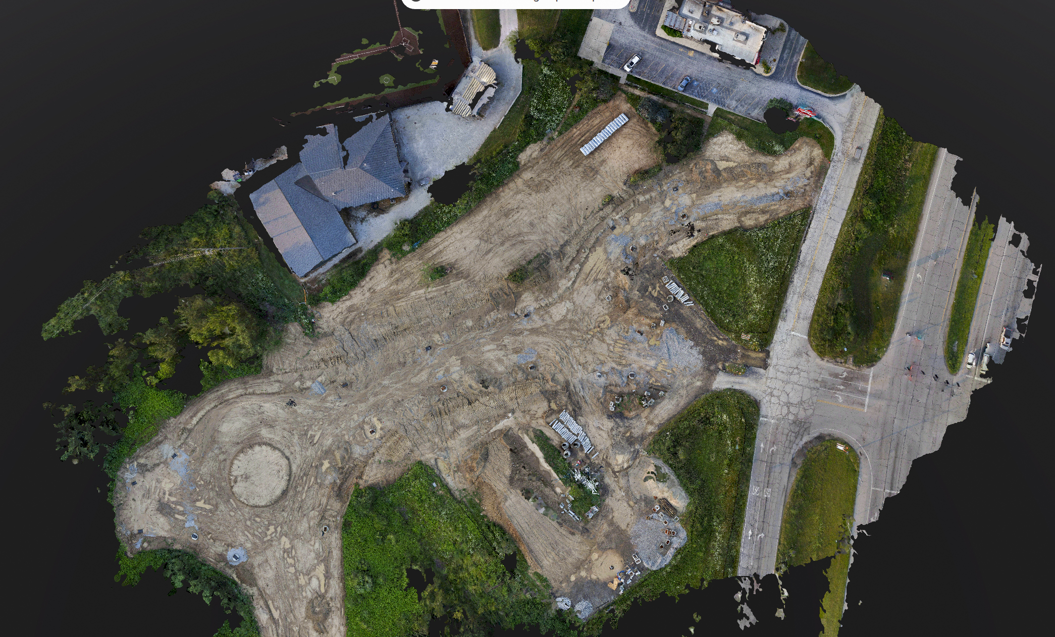
Photogrammetry textured 3D mesh of an aggregate and asphalt production yard rendered as a web-viewable digital twin, showing stockpiles, processing equipment, and haul roads

3D Models & Digital Twins

Textured meshes and web-viewable digital twins for complex sites and structures.

  • Digital twins
  • 3D meshes
  • Point clouds
  • Review models
Colorized LiDAR point cloud of a transmission corridor with structures, conductors, and vegetation

LiDAR Point Clouds

High-density LiDAR for corridors, terrain, vegetation, and complex sites where photogrammetry alone falls short.
  • Rights-of-way
  • Terrain
  • Vegetation
  • Stockpiles
Photogrammetry software showing a 3D cliffside reconstruction with orange topographic contour lines and vector overlays draped over the terrain

Contours + Vector Overlays

Mapped features, boundaries, drainage, access routes, and review layers.
  • Boundaries
  • Drainage
  • Access routes
  • Review layers
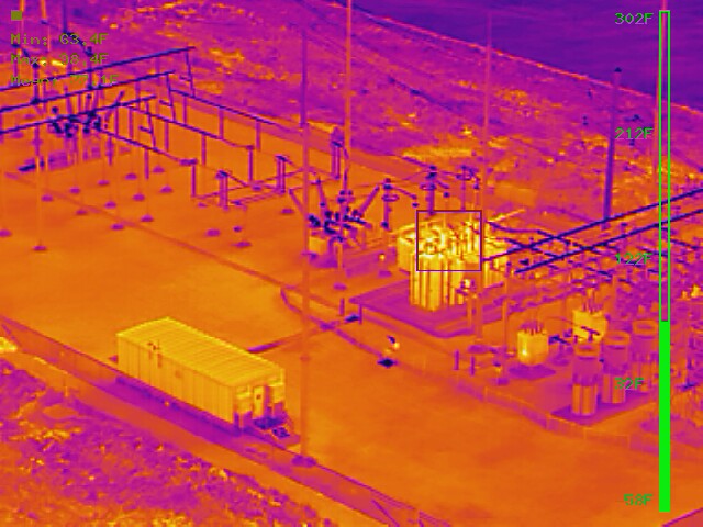
Aerial radiometric thermal capture of an electrical substation in the ironbow palette, with a temperature scale and measured hot-spot readings on transformer and bus components

Radiometric Thermal Outputs

Radiometric thermal data to flag temperature anomalies across solar, electrical, and building assets.

  • Solar arrays
  • Electrical gear
  • Roof systems
  • Envelopes
Delivery FormatsConfirmed at project scoping
  1. Mapping & Elevation

    GeoTIFFSHPDXF
  2. Point Clouds

    LASLAZ
  3. 3D Models

    OBJFBX
  4. Inspection & Reporting

    JPG / TIFFPDFCSV
  5. File format, coordinate system, and reporting requirements confirmed during project scoping.

Industries Served

Structured aerial inspection, mapping, LiDAR, thermal, and documentation services for infrastructure owners, operators, contractors, and project teams throughout the Midwest.

The MIR Workflow

Data Collection Built Around the Decision

MIR plans each operation around the asset, site conditions, required level of detail, and intended use of the data — not simply to fly a drone and produce images, but to collect organized, traceable aerial data that project teams can act on.

Every assignment then runs through the same repeatable, reviewable sequence — from scoping the objective to structured mission planning on the ground control station, field collection, and quality-checked delivery.

Interior of the MIR command van showing a dual-monitor and laptop workstation reviewing LiDAR point-cloud and inspection data at the MIR-branded desk
In-field review — one accountable field-to-data workflow
  1. Project Review

    Define the asset, site, objective, required outputs, accuracy expectations, access conditions, and operational constraints.

    Scope LockedWritten objectives & deliverables

  2. Mission Planning

    Select the aircraft, payload, flight geometry, overlap, altitude, positioning method, and safety controls appropriate to the assignment.

  3. Field Collection

    Perform structured aerial data collection using repeatable procedures and field verification.

    Capture LogCapture logged & timestamped

  4. Processing & Quality Review

    Process, organize, and inspect the dataset for coverage, alignment, usability, and output requirements.

    QA Sign-OffReviewed before release

  5. Delivery

    Provide the agreed imagery, mapping products, models, datasets, exports, and supporting documentation in a clear project structure.

    Versioned ExportsDelivered in a clear project structure

  6. One accountable field-to-data workflow — every dataset delivered traceable, documented, and ready for the decision it supports.

Blue UAS Aircraft · Professional Data Stack

Blue UAS Aircraft. Professional Data Stack.

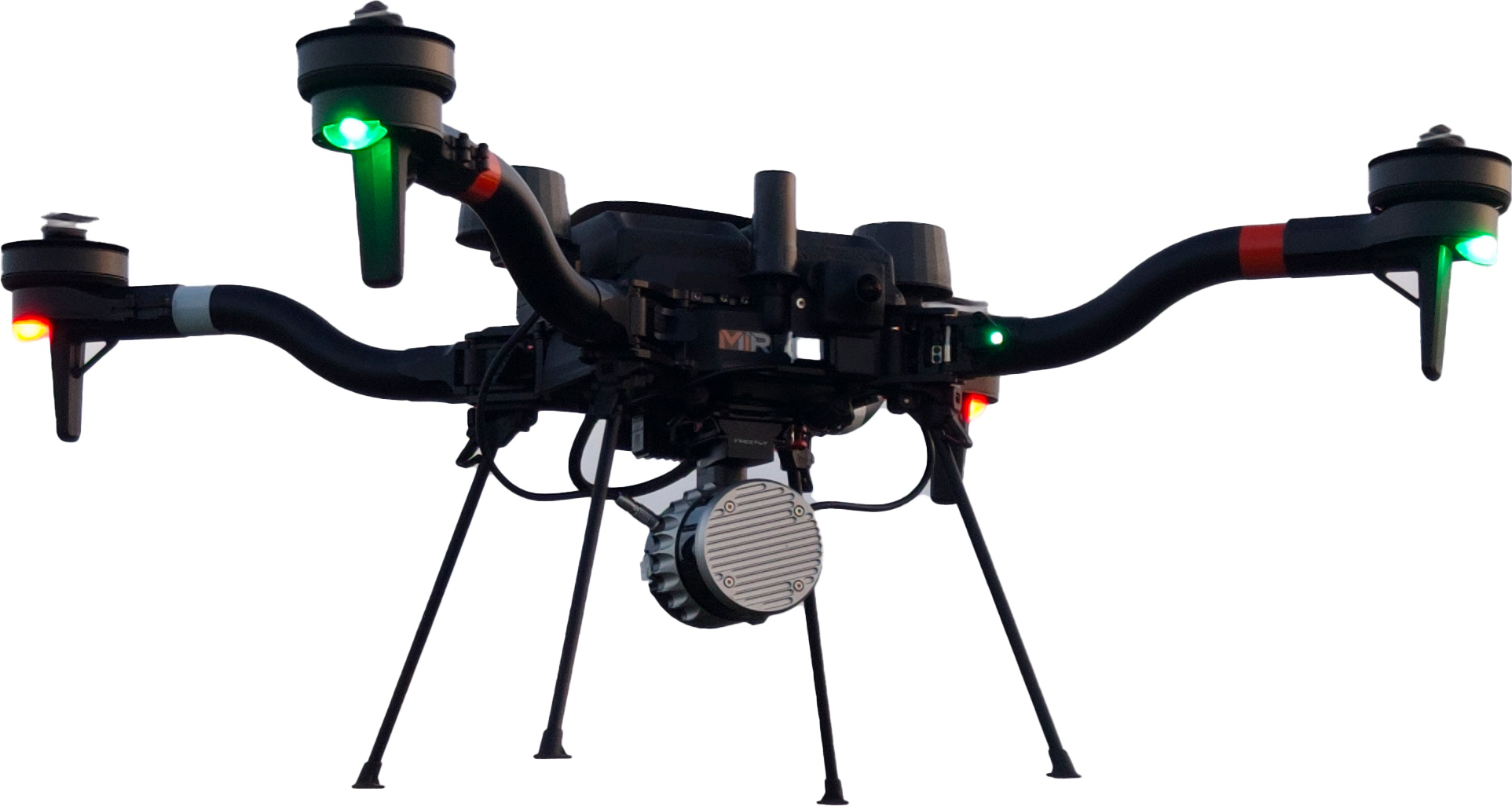
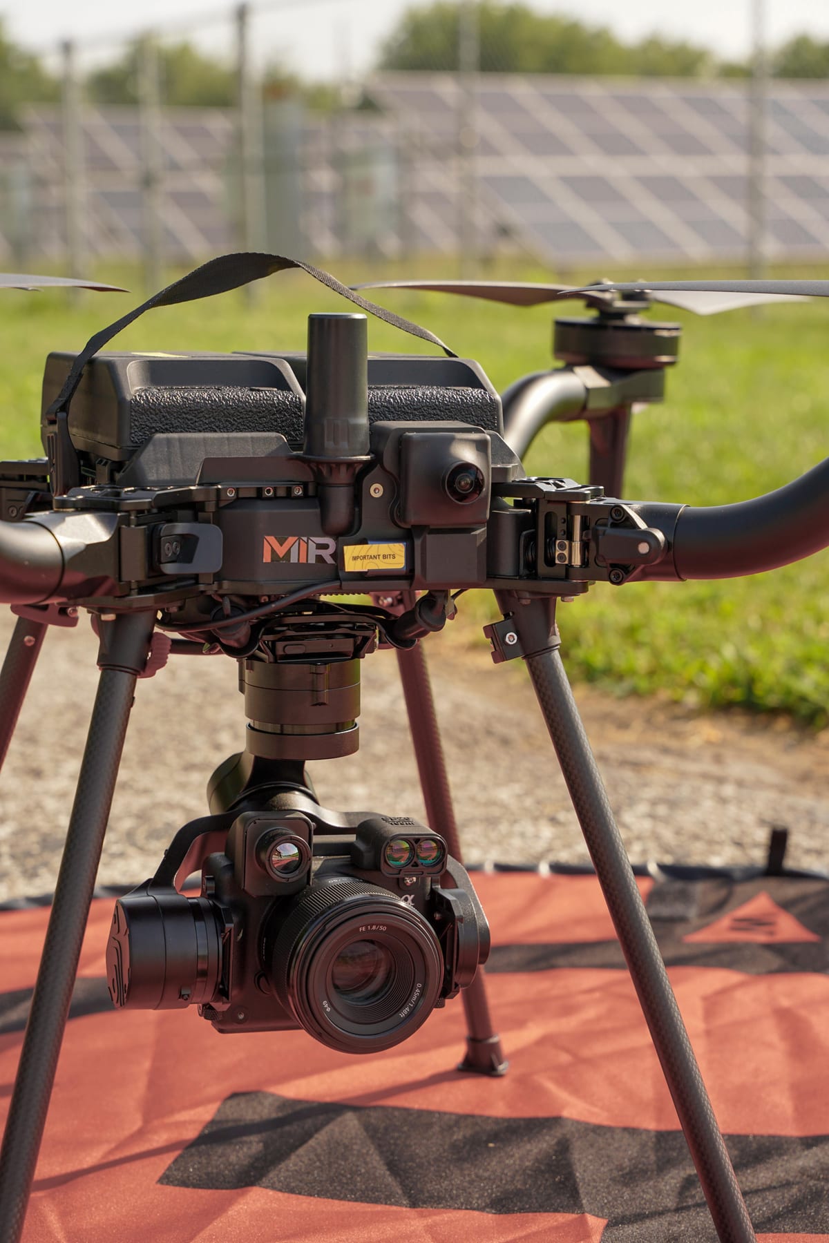
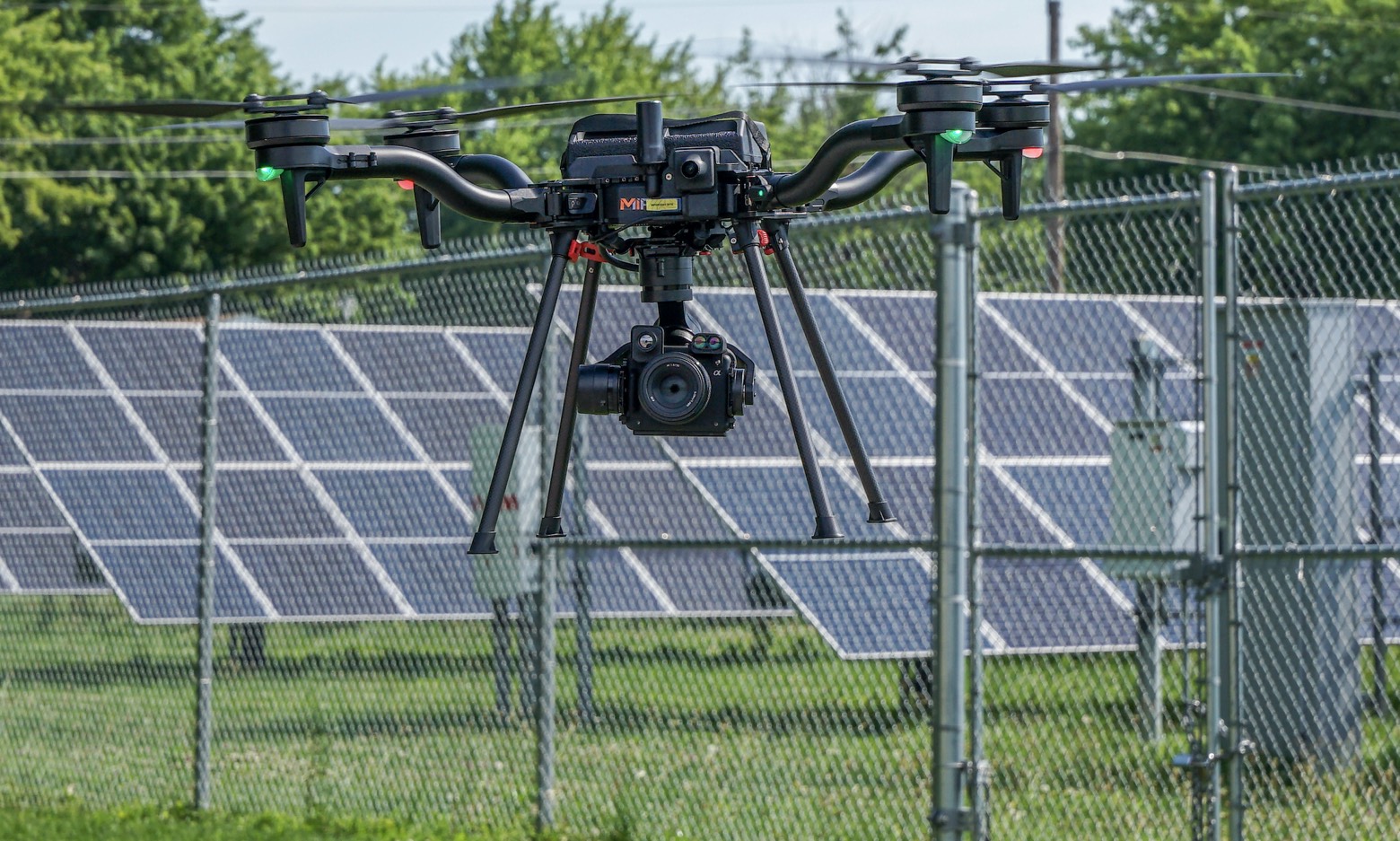
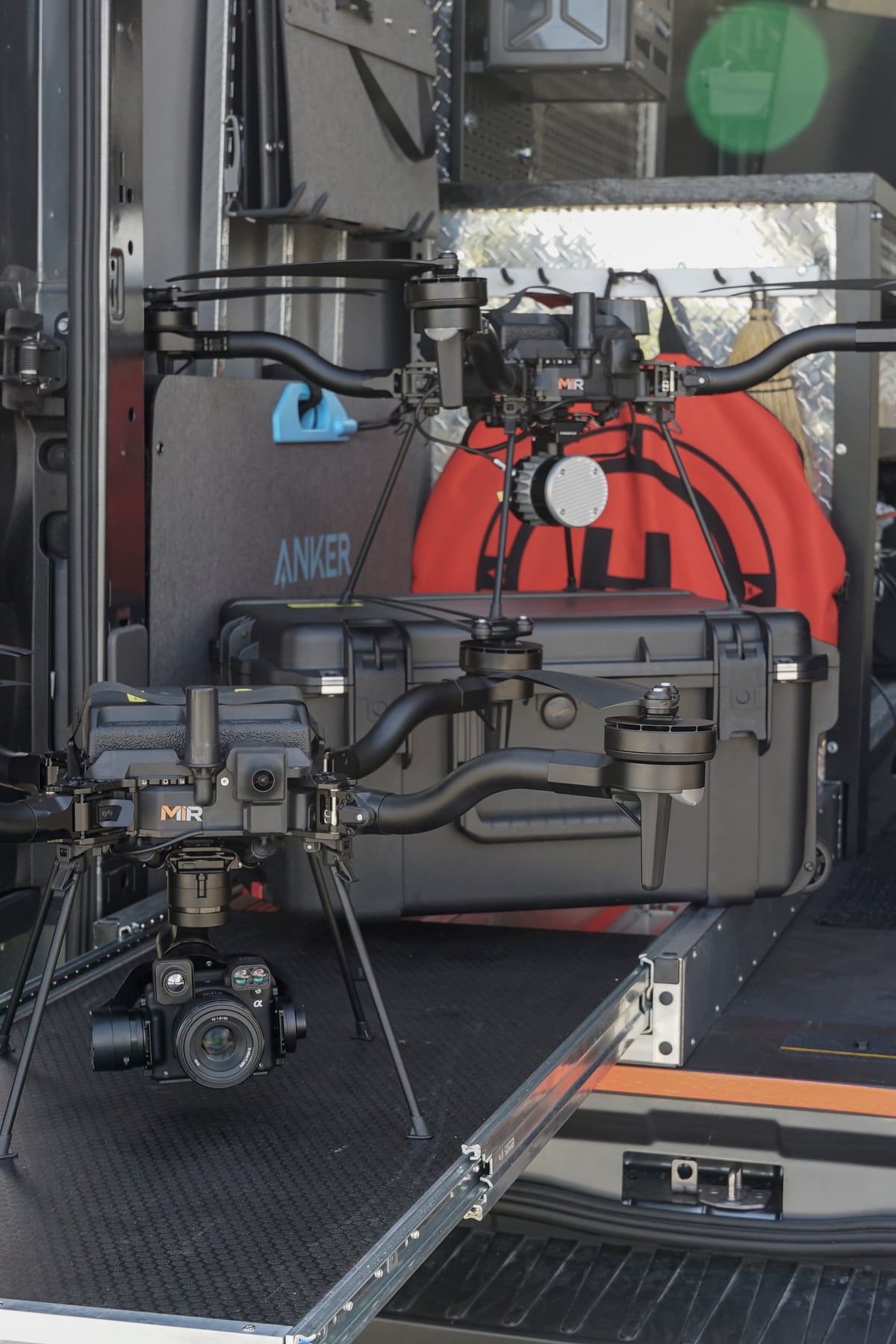
MIR operates Freefly Astro aircraft listed within the Blue UAS framework and configured for infrastructure mapping and inspection operations. Redundant aircraft, RTK positioning, and interchangeable RGB, thermal, and LiDAR payloads let MIR adapt collection methods to the project instead of forcing every assignment into a single workflow. Aircraft, payload, communications, and data-handling requirements are reviewed against each project's procurement and security requirements.
  • American-made Freefly Astro aircraft
  • Aircraft listed within the Blue UAS framework
  • Redundant aircraft availability
  • RTK-enabled positioning
  • High-resolution 61MP RGB imagery
  • LiDAR and thermal payload options
MIR-branded American-made Freefly Astro aircraft with Sony camera and LiDAR gimbal payloads staged with Pelican cases on a mobile command truck, ready to deployMIR Fleet · Deploy-Ready Aircraft & Payloads

Equipment We Bring

  • Freefly Astro

    Freefly Astro

    Blue UAS aircraft

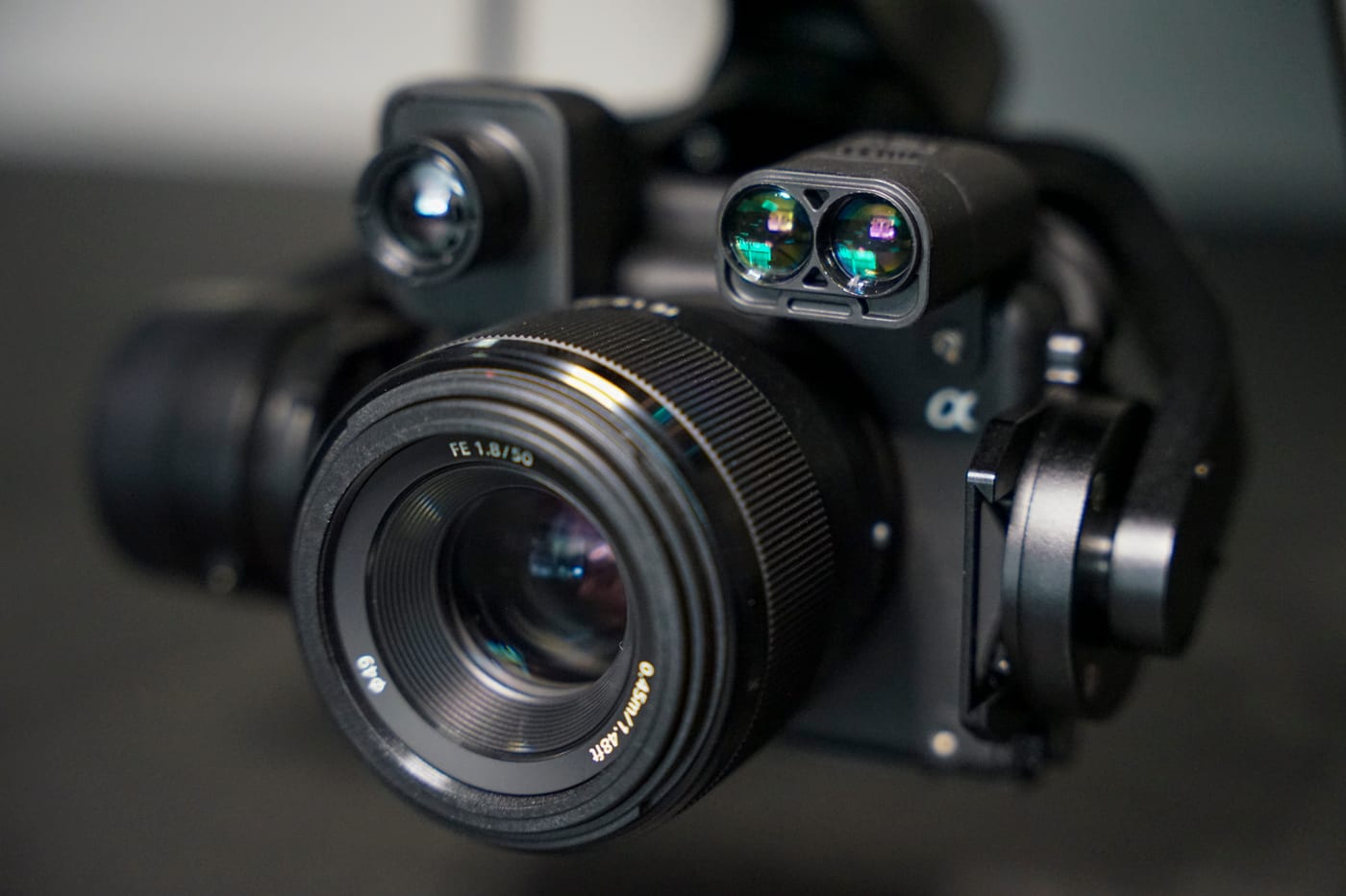
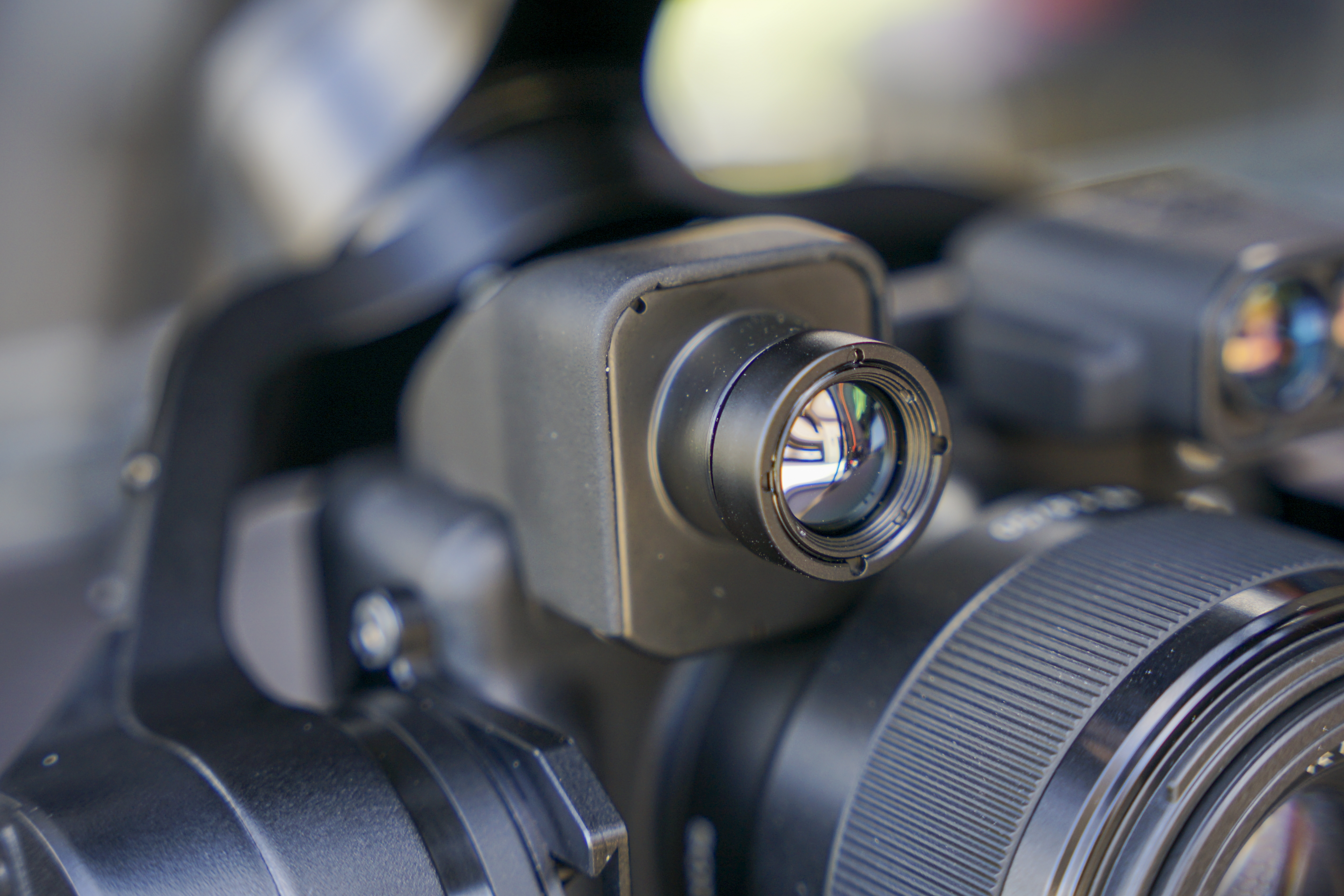
  • Sony 61MP RGB

    Sony 61MP RGB

    High-resolution imagery

  • Radiometric Thermal

    Radiometric Thermal

    Calibrated heat mapping

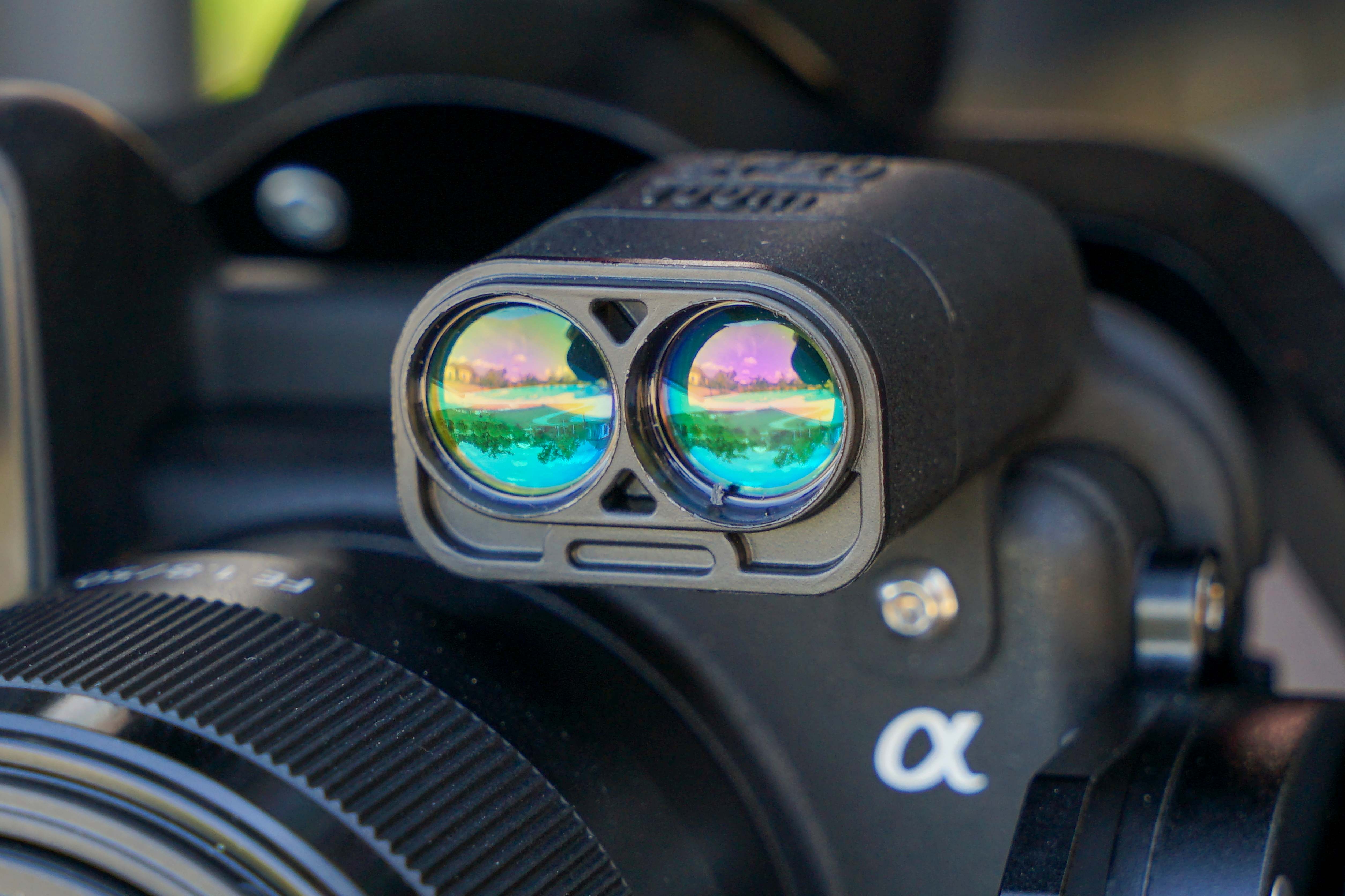
  • Laser Rangefinder

    Laser Rangefinder

    Direct distance & clearance

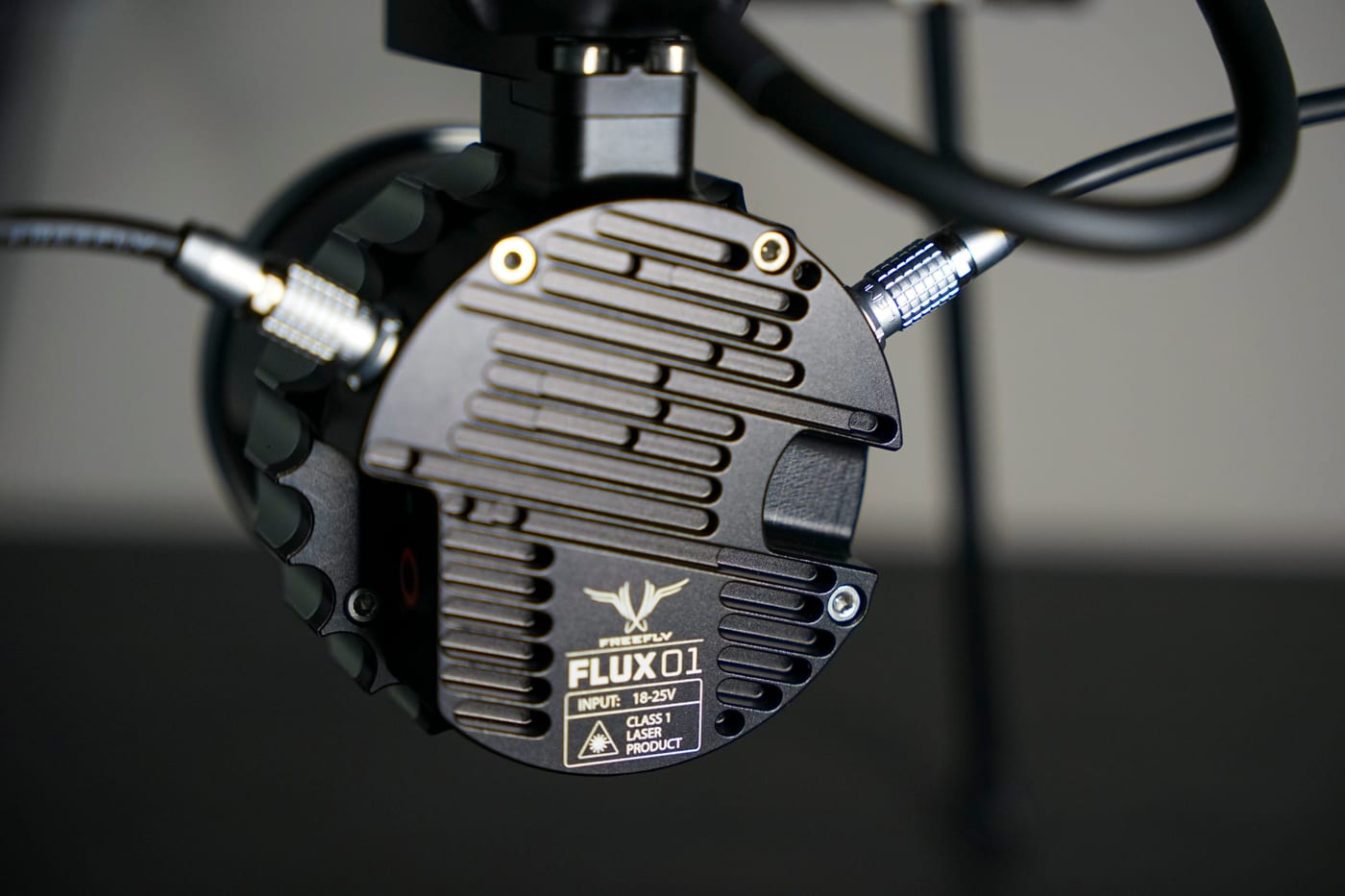
  • Freefly Flux O1

    Freefly Flux O1

    LiDAR acquisition

  • Indiana Continuously Operating Reference Stations (InCORS) network

    RTK Positioning

    InCORS NTRIP · WGS 84

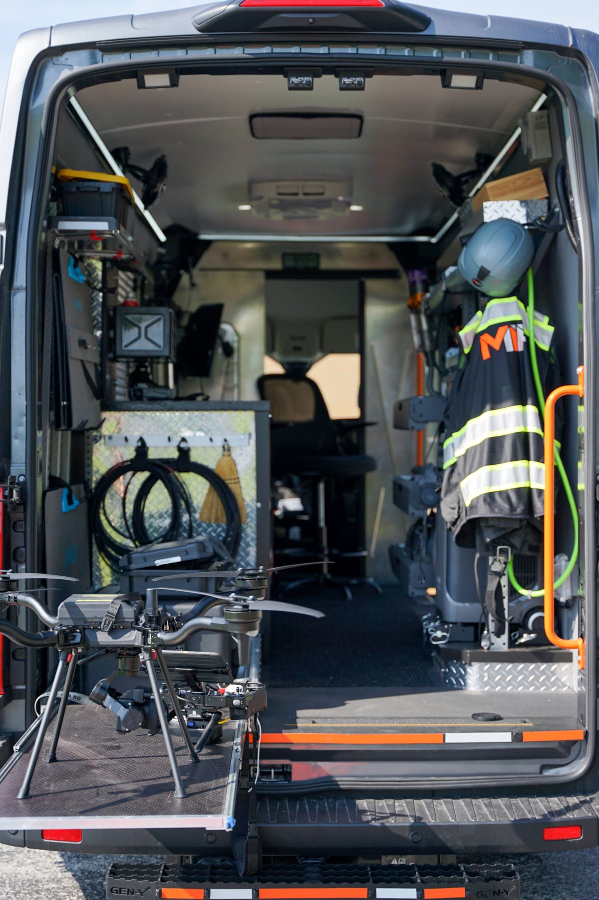
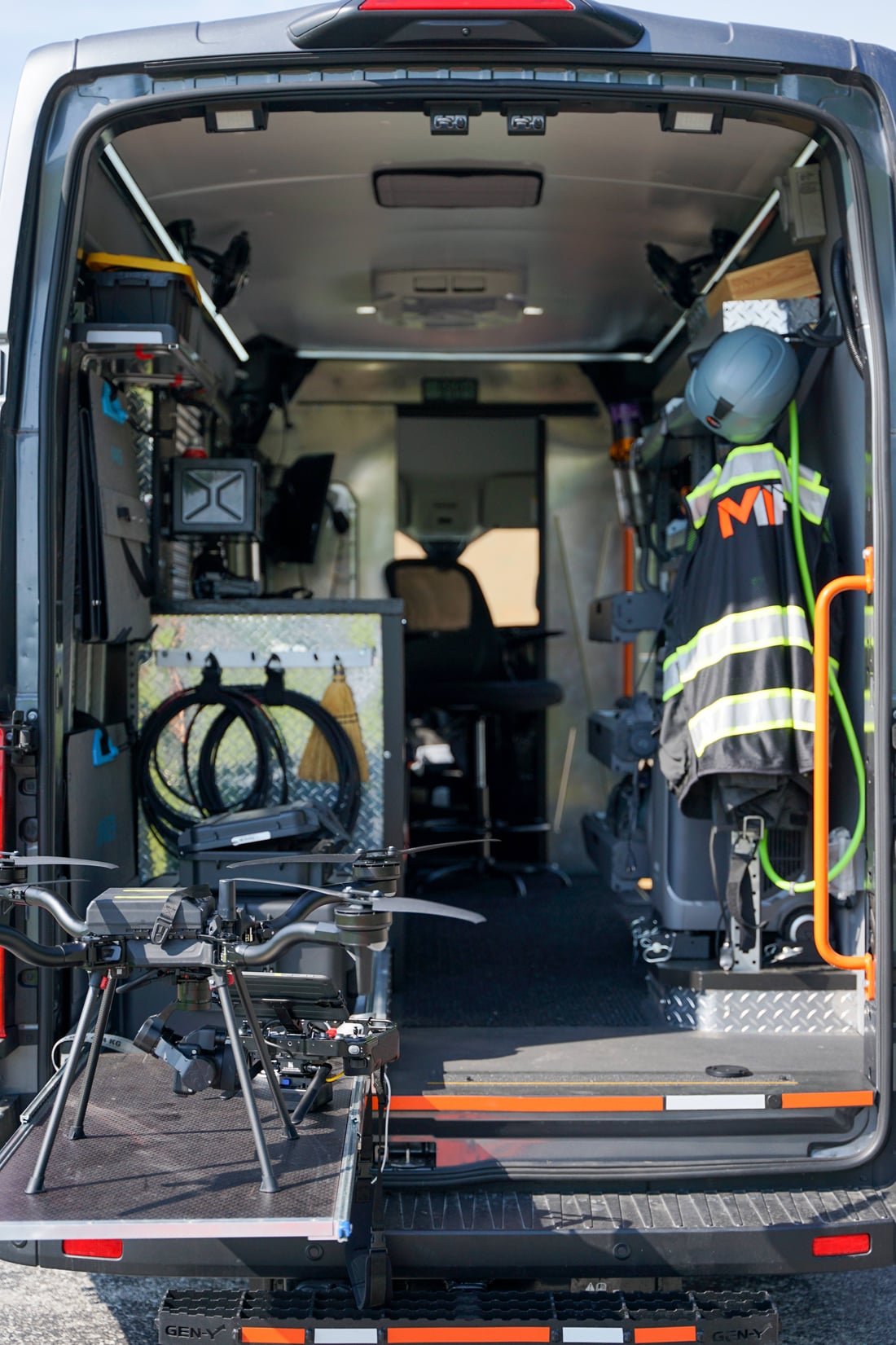
Open rear of the MIR Ford Transit command van at a solar site showing organized equipment, charging, the MIR-branded safety vest, and the drone on its deployment ramp
Deployable Operations

Mobile Command. Deployable Operations.

MIR's field vehicle supports mission planning, equipment charging, payload preparation, data transfer, processing, communications, and extended operations at remote or infrastructure-heavy sites. The system is designed to reduce field delays and keep the collection workflow organized from arrival through data handoff.
  • Field Power
  • Equipment Charging
  • Mission Planning
  • Data Transfer
  • On-Site Review
  • Weather Protection
  • Remote-Site Readiness
Rear of the MIR command van showing the drone on the deployment ramp, organized equipment, and the MIR-branded safety vest and helmet
Command Interior
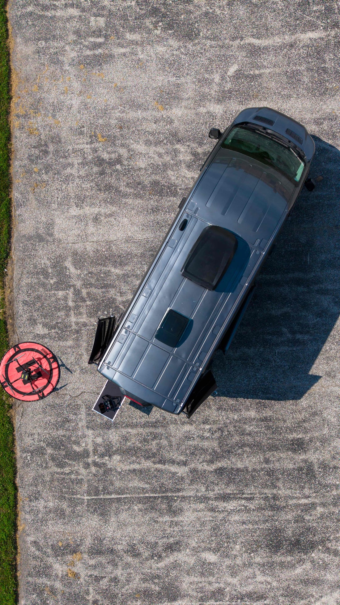
Top-down aerial of the MIR command van parked on pavement with the aircraft staged on its red landing pad
On-Site Deployment
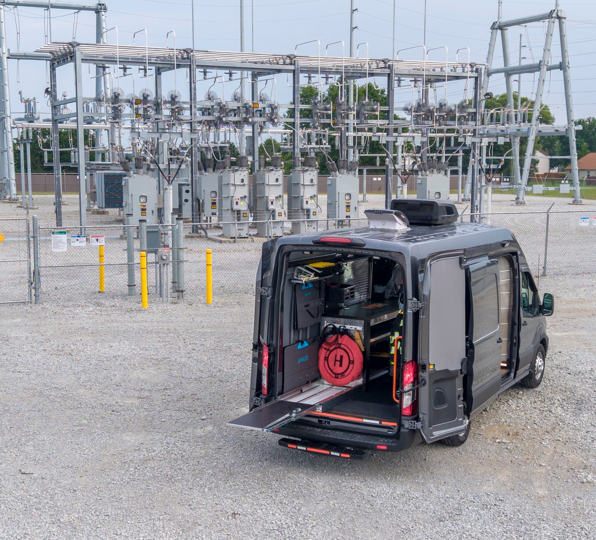
MIR command van with rear doors open and equipment staged, parked at an electrical substation switchyard with transmission structures and disconnect switches behind
Substation Deployment
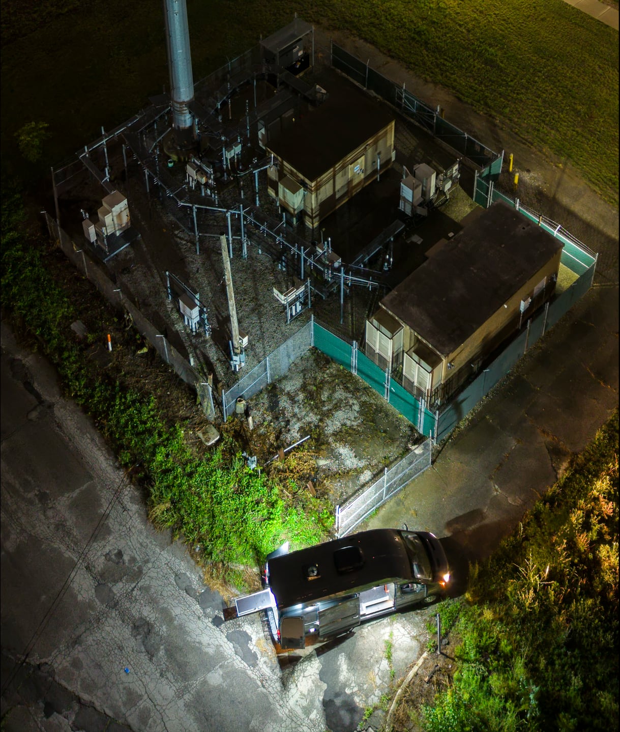
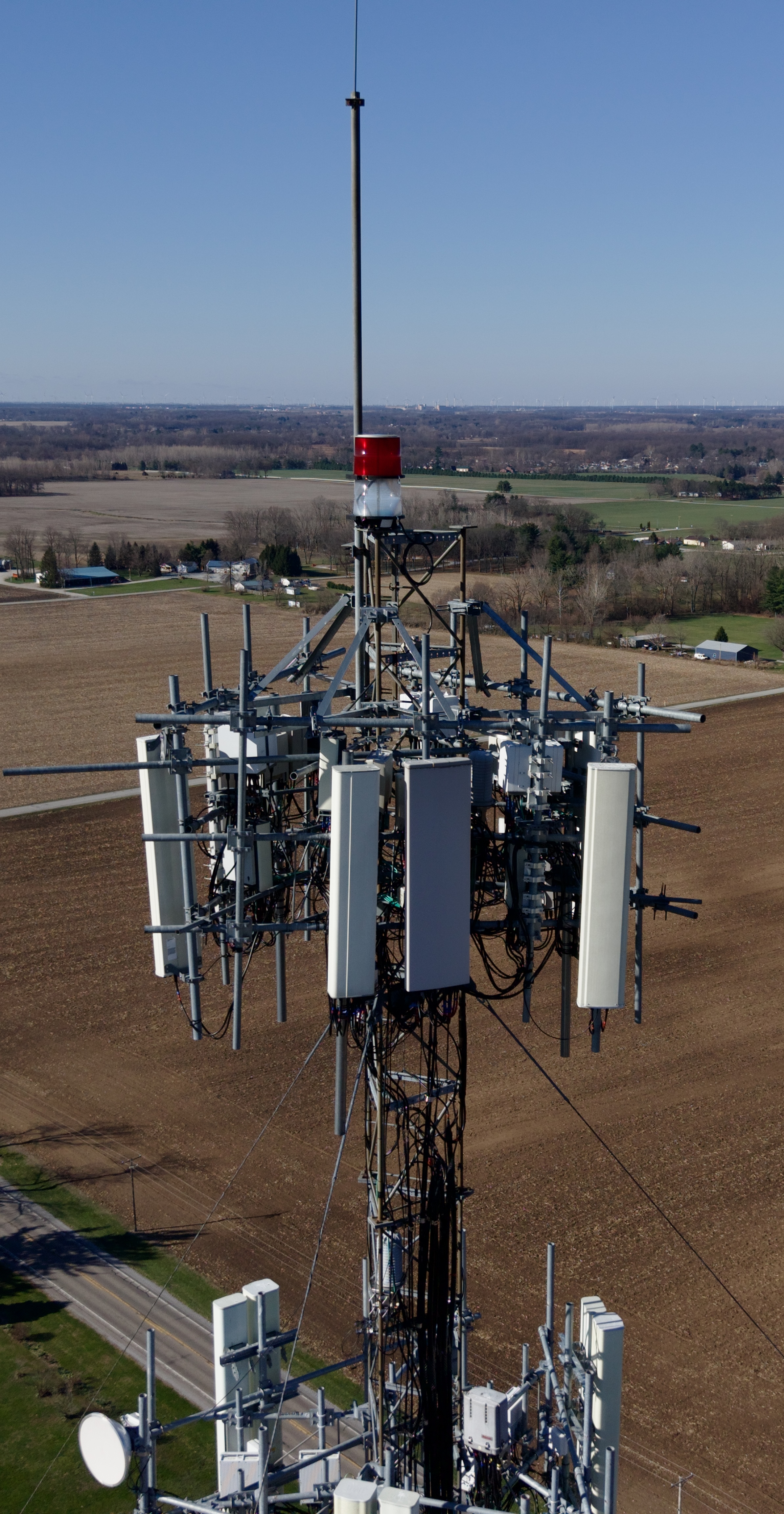
Overhead night aerial of a fenced telecom compound showing the monopole tower, equipment shelters, and cabinets, with the MIR command van staged at the entrance under floodlight
Night Operations
About MIR

Discipline in the Field. Detail in the Data.

Andrew Hawes · Owner & Operator · FAA Part 107

MIR is run by one accountable operator, Andrew Hawes. FAA Part 107 certified since 2016 and a Blue UAS cleared operator, Andrew scopes, flies, processes, and delivers every project personally. When you hire MIR, you know exactly whose name is on the data.

Every project is handled with careful planning, tight risk management, and a record that holds up when someone asks how the data was collected. From scoping and flight planning through processing and delivery, the work is documented, repeatable, and accountable to a single name.

MIR is based in Westfield, Indiana and provides aerial mapping, inspection, and LiDAR services across the greater Indianapolis metro — including Indianapolis, Carmel, Fishers, Noblesville, Zionsville, Greenwood, Avon, Brownsburg, and Plainfield — with project work throughout Indiana and the Midwest.

Andrew Hawes of MIR standing beside the mobile command van on a field road, drone equipment staged in the open rear doors, with wind turbines on the horizon
Andrew Hawes — Owner & Operator, MIR
  • FAA Part 107 · 2016
  • Blue UAS Cleared
  • $5M Aviation Liability

Start With the Project Objective

Bring MIR Your Next Site or Asset

Tell us what needs to be inspected, mapped, measured, documented, or reviewed. We'll help determine the appropriate collection method, payload, mission structure, and deliverables — from flight plan to field deployment.