
Scope, Limitations & Operating Conditions
The following describes what MIR provides, where professional responsibility remains with licensed specialists, and the conditions that govern field operations and deliverables.

Blue UAS Cleared
Freefly Astro aircraft listed within the Blue UAS framework for procurement-sensitive missions.

$5M Aviation Liability
Coverage built for infrastructure field operations.
Redundant Aircraft
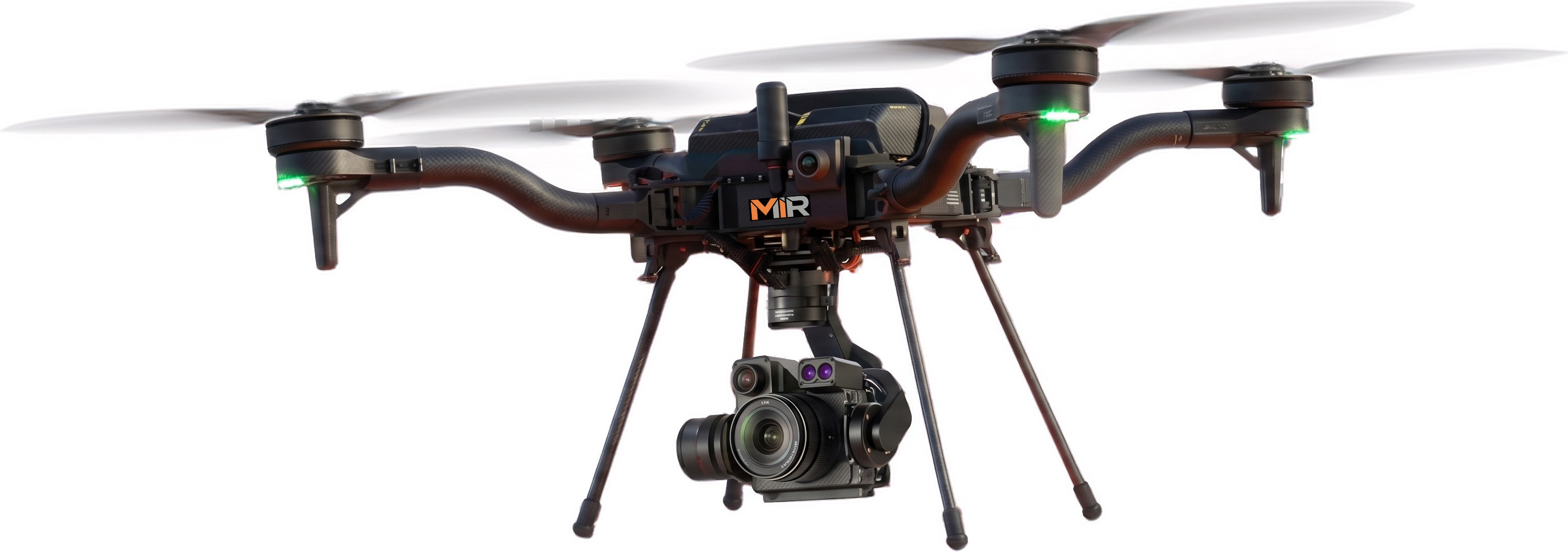
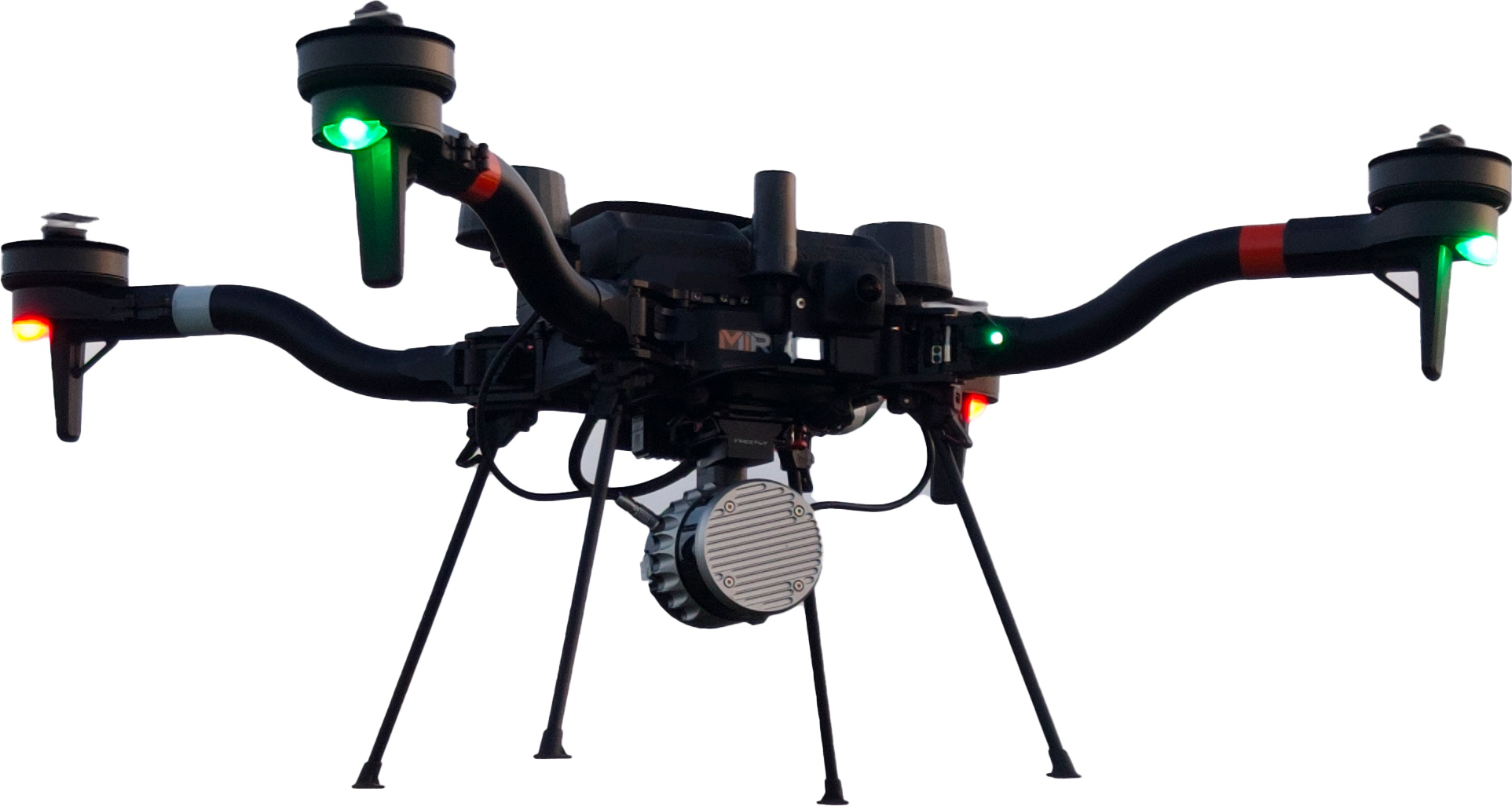
Dual American-made Freefly Astro platforms with RGB and LiDAR payloads for mission continuity.

Mobile Field Support
Charging, live viewing, and data review for sustained operations.
Scope of Services
Mapping Inspection Resources, LLC (“MIR”) provides aerial data collection, mapping products, inspection imagery, and documentation. This includes services such as high-resolution imagery, RTK-positioned mapping, LiDAR point-cloud acquisition, thermal imaging, photogrammetric products, and organized project datasets.
MIR delivers observable-condition records and organized data products. MIR does not provide, and does not present itself as providing, licensed engineering, land-surveying, legal, or other professional determinations.
Professional Limitations
MIR does not present itself as a licensed engineering or land-surveying firm. Engineering conclusions, structural determinations, boundary or legal conclusions, electrical diagnosis, certified surveying, and final defect classifications outside an agreed inspection framework remain the responsibility of the appropriate licensed or qualified professional where required.
Where a project requires a licensed determination, MIR can collect and organize the supporting data, but the interpretation and certification must be completed by the qualified professional retained for that purpose.
Deliverables & Accuracy
Deliverable availability, accuracy, file format, and level of interpretation are established during project scoping and depend on site conditions and the selected collection method.
Accuracy expectations, coverage, and output formats are agreed in writing before collection. Factors such as vegetation density, surface conditions, GPS availability, lighting, and site access can affect achievable results and are discussed during scoping.
Operating Conditions
Services are subject to airspace authorization, weather, site-access, safety, and regulatory conditions. Field operations are planned and conducted in accordance with applicable aviation regulations and site requirements.
MIR does not guarantee continuous or all-condition operations. Weather, airspace restrictions, battery cycles, crew limitations, and site rules control the operation and may affect scheduling and collection.
Compliance
MIR operates Blue UAS Cleared, American-made Freefly Astro aircraft configured for infrastructure mapping and inspection operations. Aircraft, payload, communications, and data-handling requirements are reviewed against each project’s procurement and security requirements.
Component-level and configuration-level compliance is confirmed on a per-project basis and should not be assumed identical across every payload, software product, or configuration.
This page describes service scope and professional limitations and is not a substitute for a written project agreement. Project-specific terms are established in the applicable proposal or contract.