
Grain Storage & Handling
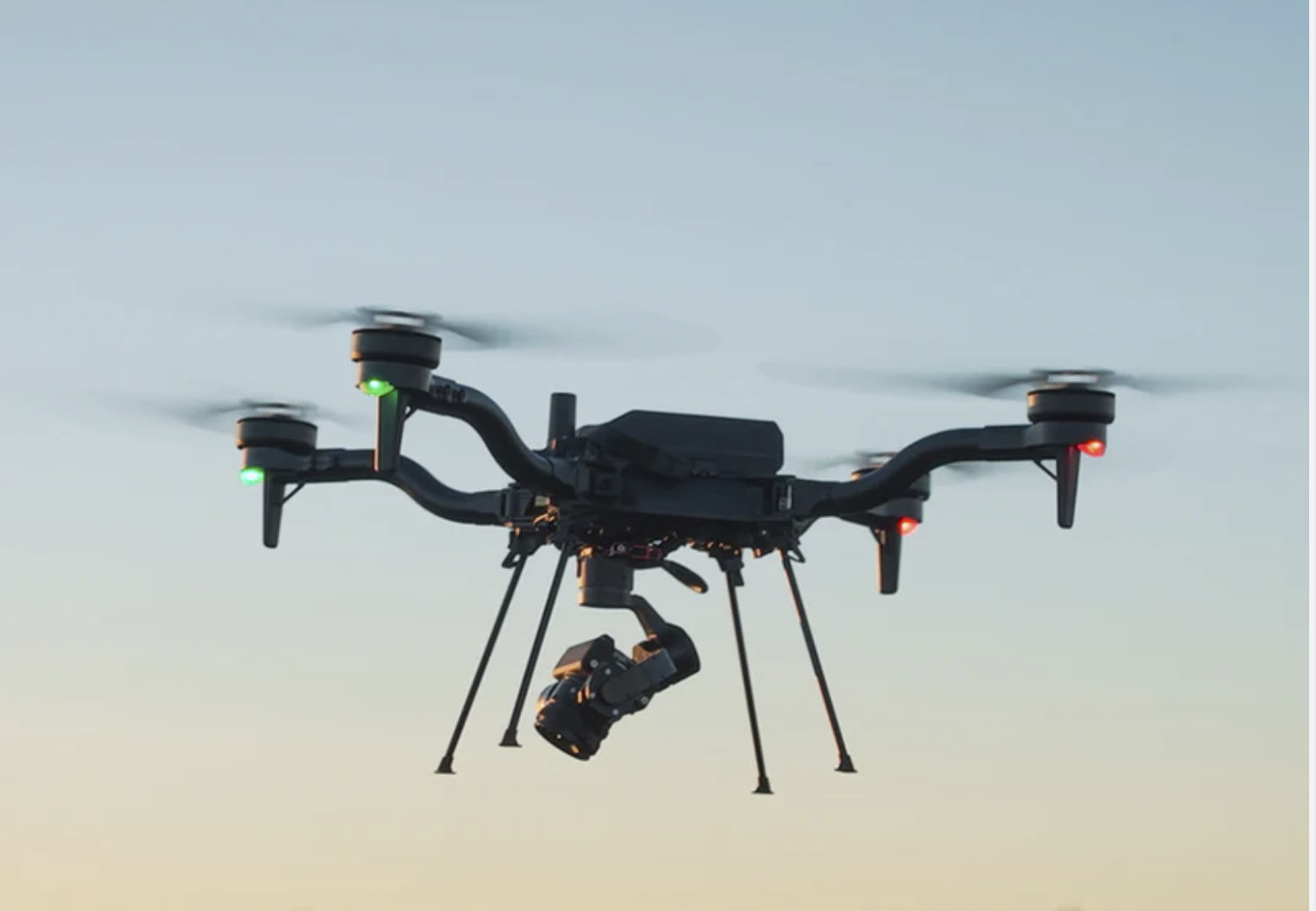
Exterior condition documentation, thermal anomaly screening, RTK-referenced mapping, and visible-material quantity support for country elevators, grain cooperatives, terminal facilities, feed mills, processing sites, and bulk grain storage operations. Coverage can include concrete silos, corrugated steel bins, elevator legs, roofs, vents, conveyors, catwalks, supporting infrastructure, and open storage areas.
Commercial grain storage and handling facility
Purpose-Built Data for Grain Storage & Handling
Exterior Documentation
Repeatable imagery of silos, steel bins, elevator legs, roofs, vents, and conveyors.
Thermal Anomaly Screening
Radiometric thermal flags trapped heat, moisture, and hot bearings on the exterior.
RTK-Referenced Mapping
Spatial data and visible-material quantity support tied to a coordinate system.
Organized by Asset
Results sorted by asset and location so findings are easy to act on.
Maintenance & Loss-Control
Documentation for maintenance planning, repair scoping, and loss-control review.
The Same Asset, Seen Two Ways
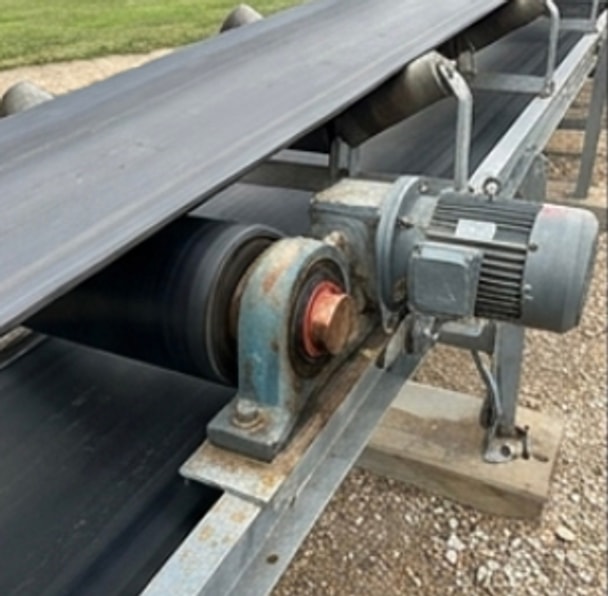
Drag each slider to move between the visible-light photo and the radiometric thermal frame of the same asset. Thermal reveals what the eye misses — trapped heat, moisture, hot bearings, and grain-mass signatures behind steel and concrete.
Conveyor Drive & Bearing
Drag to compare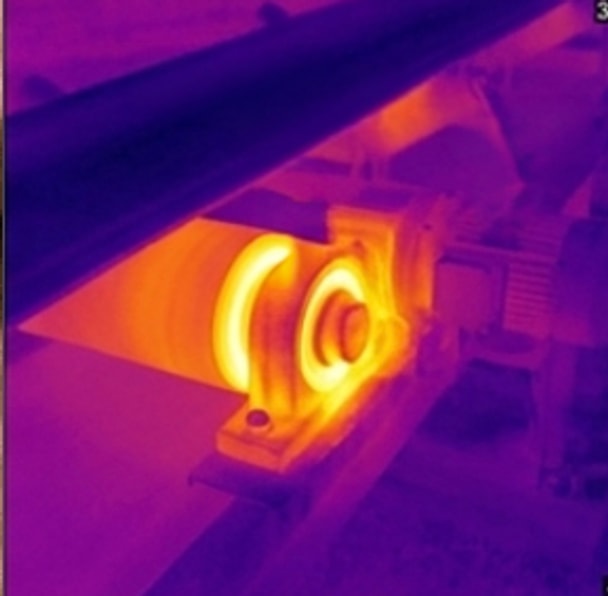 Thermal
 RGB
RGBSteel Grain Bin
Drag to compare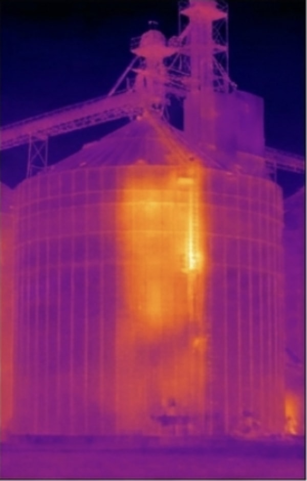 Thermal
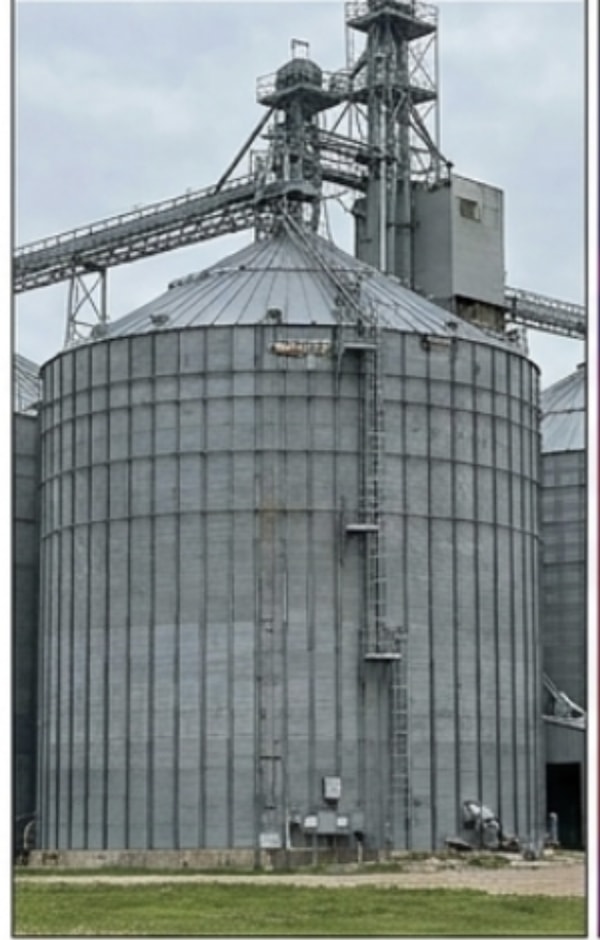 RGB
RGBConcrete Stave Silo
Drag to compare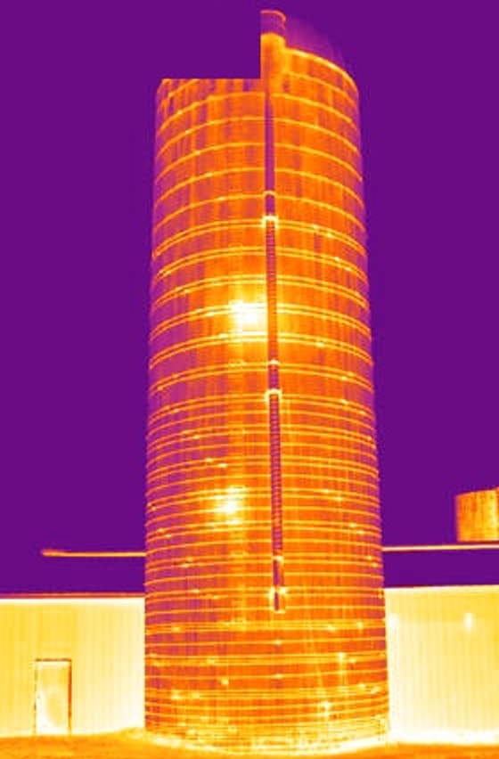 Thermal
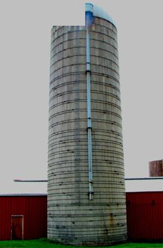 RGB
RGBFrom Project Question to Organized Dataset
Each project is scoped around the asset, the condition or quantity being investigated, the required resolution, and the people who will use the results. Condition inspection, thermal screening, and site mapping require different acquisition plans — RGB, radiometric thermal, and LiDAR are selected only where each method answers the scoped project question, not deployed by default.
Scope & Target
Confirm the facility assets, structure types, known concerns, target conditions, required resolution, operating state, access and airspace constraints, available drawings or prior surfaces, and intended deliverables.
Site-Specific Collection
Plan controlled inspection or mapping passes around facility geometry, obstructions, standoff distance, lighting, weather, and active operations. RGB, radiometric thermal, and LiDAR are selected only where each method answers the scoped project question.
QA, Organization & Delivery
Review coverage and positioning, associate records with asset IDs and locations, document field conditions and assumptions, and deliver the agreed imagery, models, anomaly records, and quantity reports.
Services MIR Provides
Concrete Silo Exterior Documentation
Capture systematic high-resolution RGB imagery of exterior silo walls, roof edges, cornices, visible roof elements, construction joints, and prior repair areas. Document visible cracks, spalls, exposed reinforcement, corrosion staining, moisture paths, surface deterioration, and material loss by silo, elevation, and heading. Organized records support engineering review, repair scoping, and repeat condition comparison.
Steel Bins, Roofs & Handling Structures
Document roof and sidewall sheets, bolted seams, stiffeners, anchors, base angles, foundation interfaces, roof hatches, vents, exhausters, fan transitions, lightning-protection components, ladders, stairs, platforms, catwalks, conveyors, spouts, and externally visible bucket-elevator components. Imagery records visible corrosion, coating deterioration, deformation, missing or damaged hardware, storm damage, and potential water-entry indicators.
External Mechanical Thermal Screening
Capture paired radiometric thermal and RGB imagery of externally visible motors, bearings, gear drives, belts, conveyors, and bucket-elevator components while equipment is operating. Records identify repeatable surface-temperature anomalies for targeted maintenance follow-up. Document the asset, operating state, available load information, ambient temperature, wind, weather, and observation time with each relevant finding.
External thermography is a screening method. It does not independently determine internal grain temperature, spoilage, component failure, or structural condition.
Visible Material Volume Estimation
Use RTK-referenced surface data to measure open grain piles, bunkers, temporary storage, and other visible material surfaces. Reports provide volume in cubic yards and, when the client supplies commodity test weight or bulk density, moisture, and payload assumptions, planning estimates for bushels, mass, and truckloads. Exterior mapping requires a visible material surface and cannot measure grain inside a closed or opaque bin.
Condition Baselines & Loss-Control Support
Create asset-indexed condition baselines, thermal anomaly records, post-storm documentation, pre-repair and post-repair imagery, and repeat comparisons. These records support maintenance planning, management review, engineering coordination, insurer or loss-control review, and long-term facility asset histories.
MIR does not certify that a facility is structurally safe, guarantee insurer acceptance, or promise a change in insurance premiums.
Deliverables Organized for Action
Exterior condition, thermal, mapping, and quantity documentation organized by asset and location to support maintenance, engineering review, capital planning, estimating, and loss-control review. Final formats and conversion inputs are confirmed during project scoping.
Asset condition records
Annotated high-resolution RGB imagery organized by asset ID, elevation, and heading. Records can include visible wall, roof, vent, access-system, handling-structure, foundation-interface, weather-entry, and storm-related conditions.
Thermal anomaly records
Paired RGB and radiometric thermal imagery organized by asset and component, with operating state, environmental conditions, temperature markers, and the observed surface anomaly documented together.
Volume & surface reports
Visible material boundaries, base-surface methodology, cubic-yard volume, and clearly stated conversion inputs and assumptions.
Change & repair verification
Repeat imagery or surface comparisons showing documented change, completed repairs, and remaining items for follow-up.
What This Service Does — and Does Not — Include
- MIR provides exterior aerial data collection for grain facilities, including visible-condition documentation, thermal-supported observations, and volume measurement where a visible material surface is present.
- This service does not include interior or confined-space silo inspection, structural engineering certification, grain-quality determination, electrical safety certification, ventilation testing, grain sampling, vibration analysis, or equipment diagnostics.
- Bushel, mass, and truckload conversions are planning estimates based on client-supplied commodity and payload information.
Explore Other Industries MIR Serves
Wind Energy
Wind inspection data collection and vendor support — blade, tower, and nacelle records that pinpoint leading-edge erosion and serial defects without prolonged downtime.
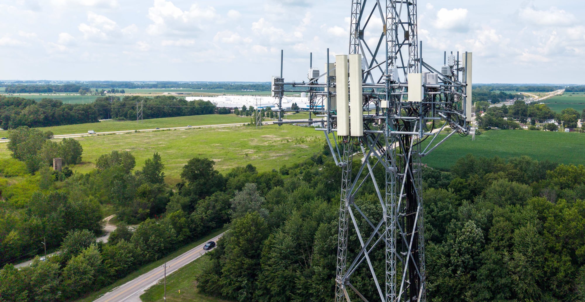
Telecom
Cell-site audits, structural documentation, and measurable digital twins that support colocation and close-out.
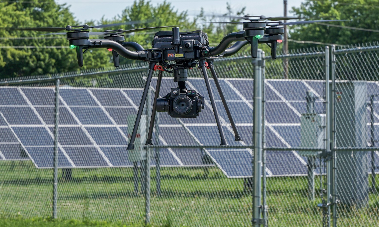
Solar & Renewables
Aerial thermography that locates hot spots, diode failures, and string outages down to the module.
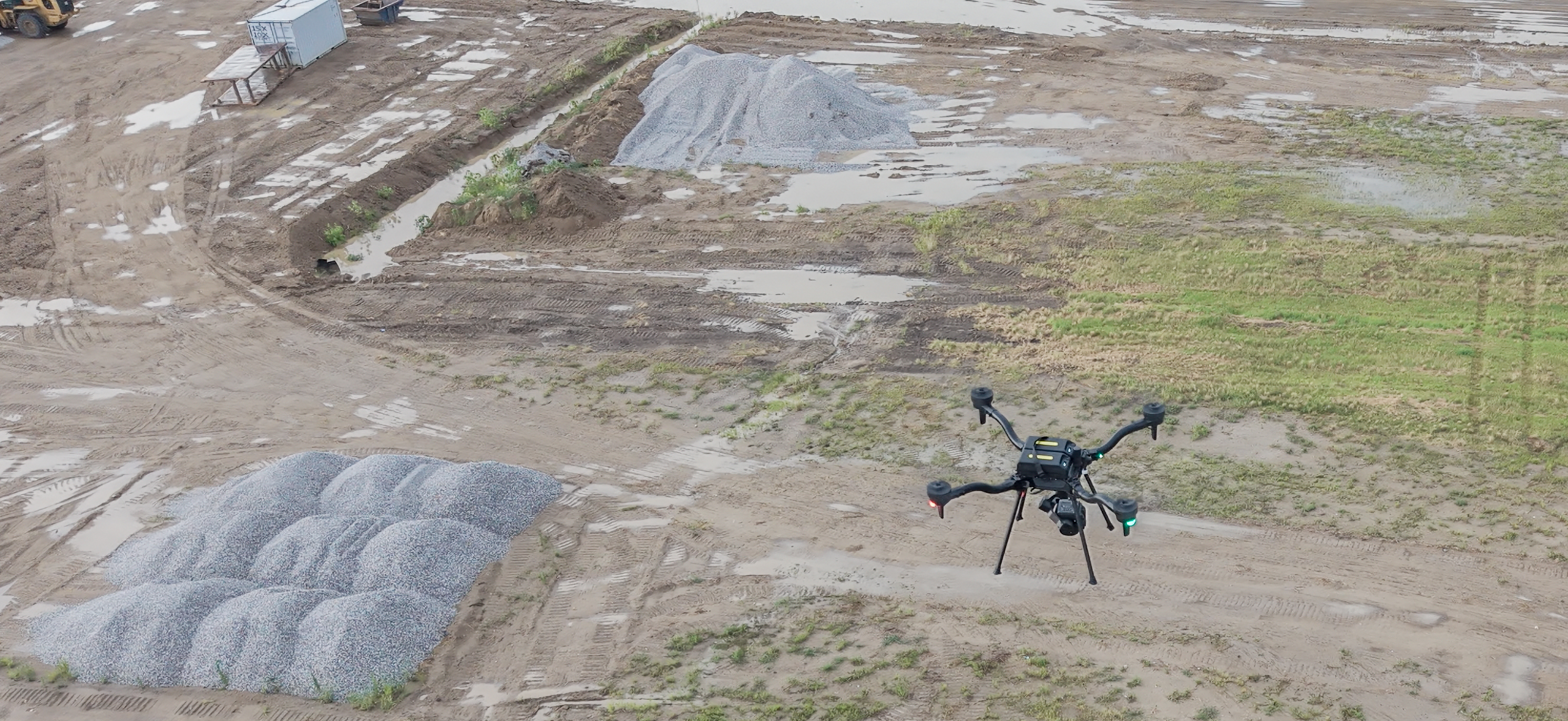
Mining & Aggregates
RTK-referenced stockpile volumetrics, pit-progression models, and highwall documentation — captured with high-accuracy photogrammetry and LiDAR, without entering hazardous zones.
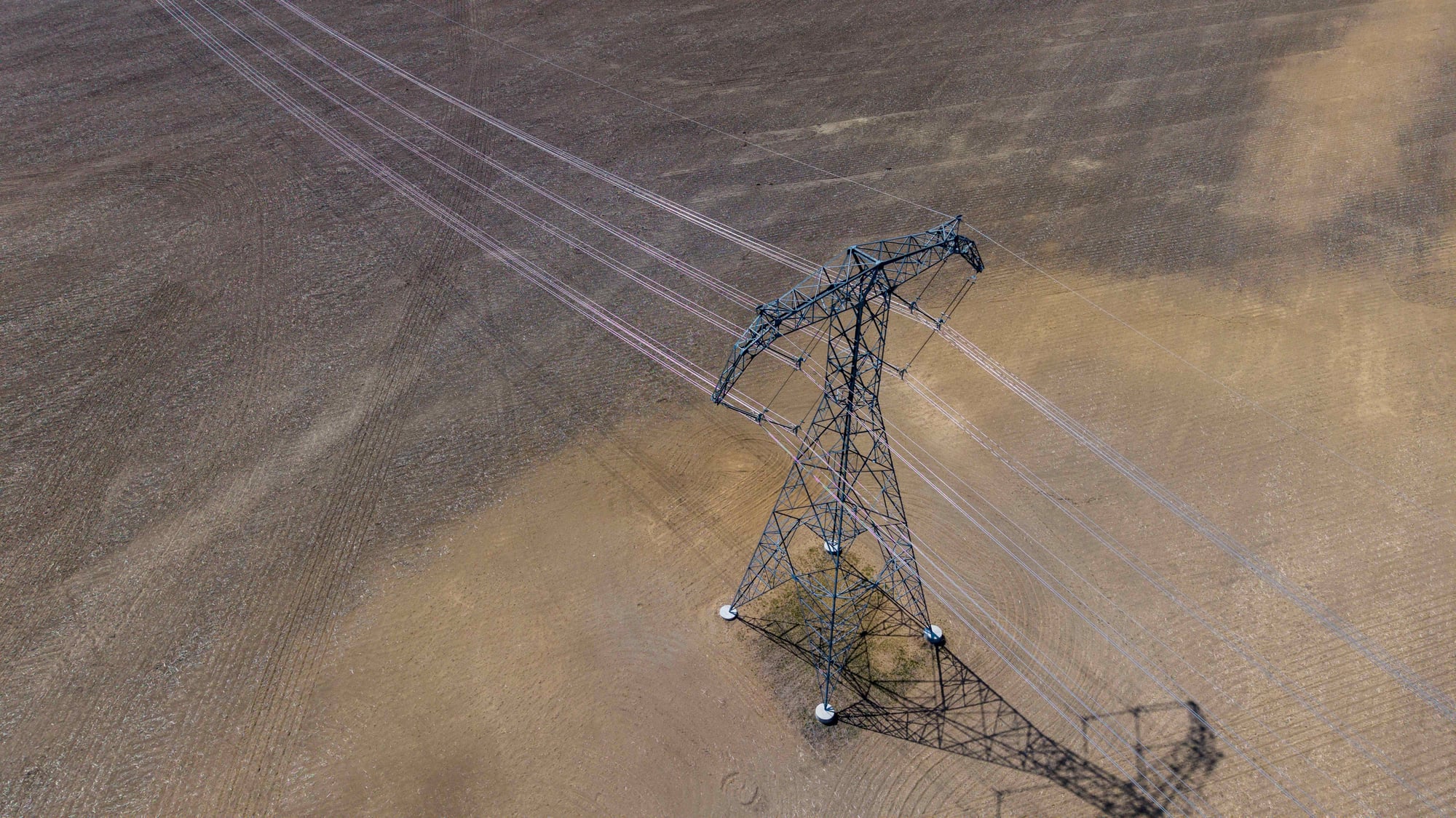
Utilities & ROW
T&D structure inspection, LiDAR corridor mapping, and vegetation-encroachment documentation for reliability and compliance.
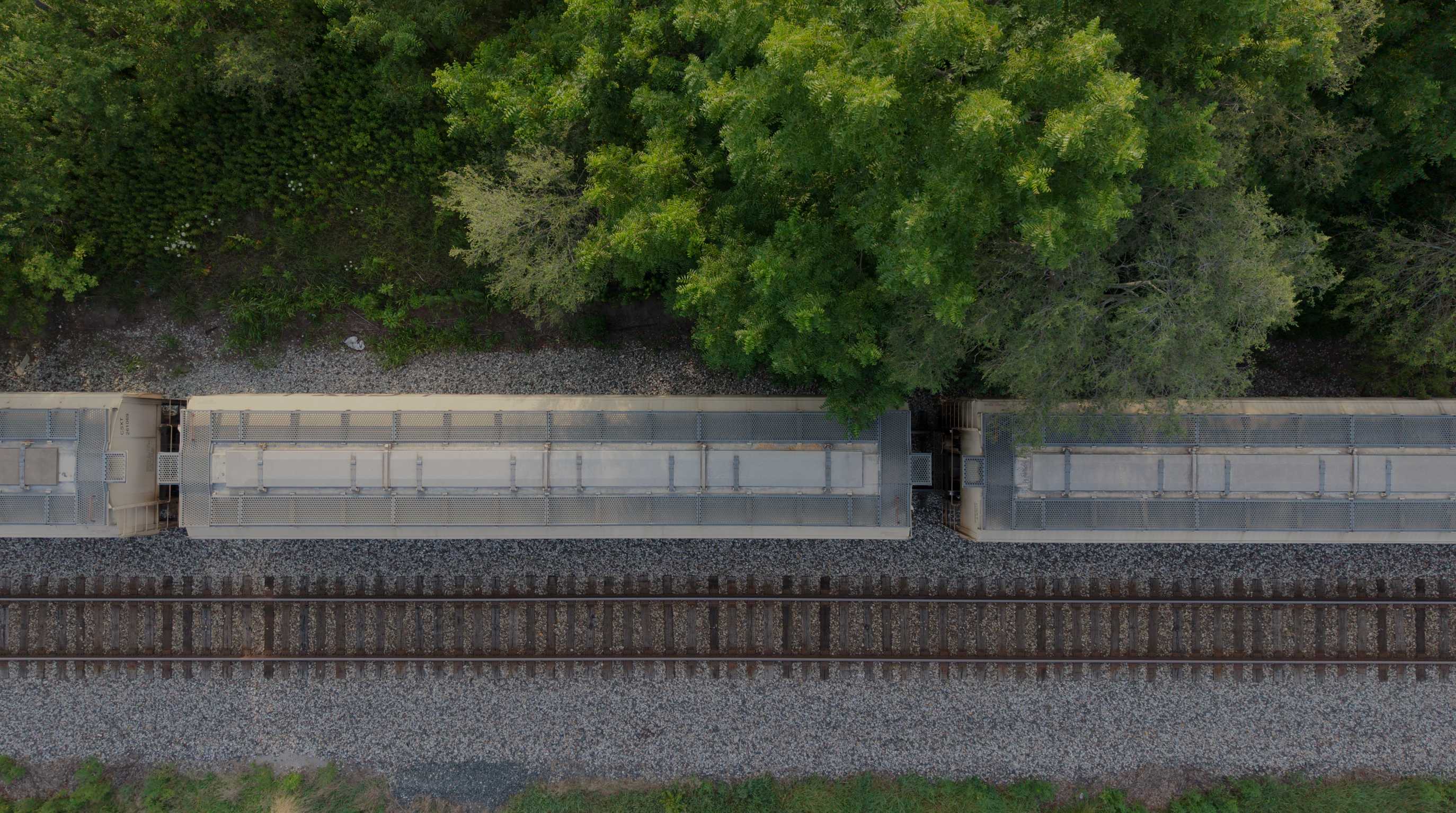
Rail & Transportation
RGB corridor mapping and LiDAR data along rail corridors — reducing time spent on or near live track.
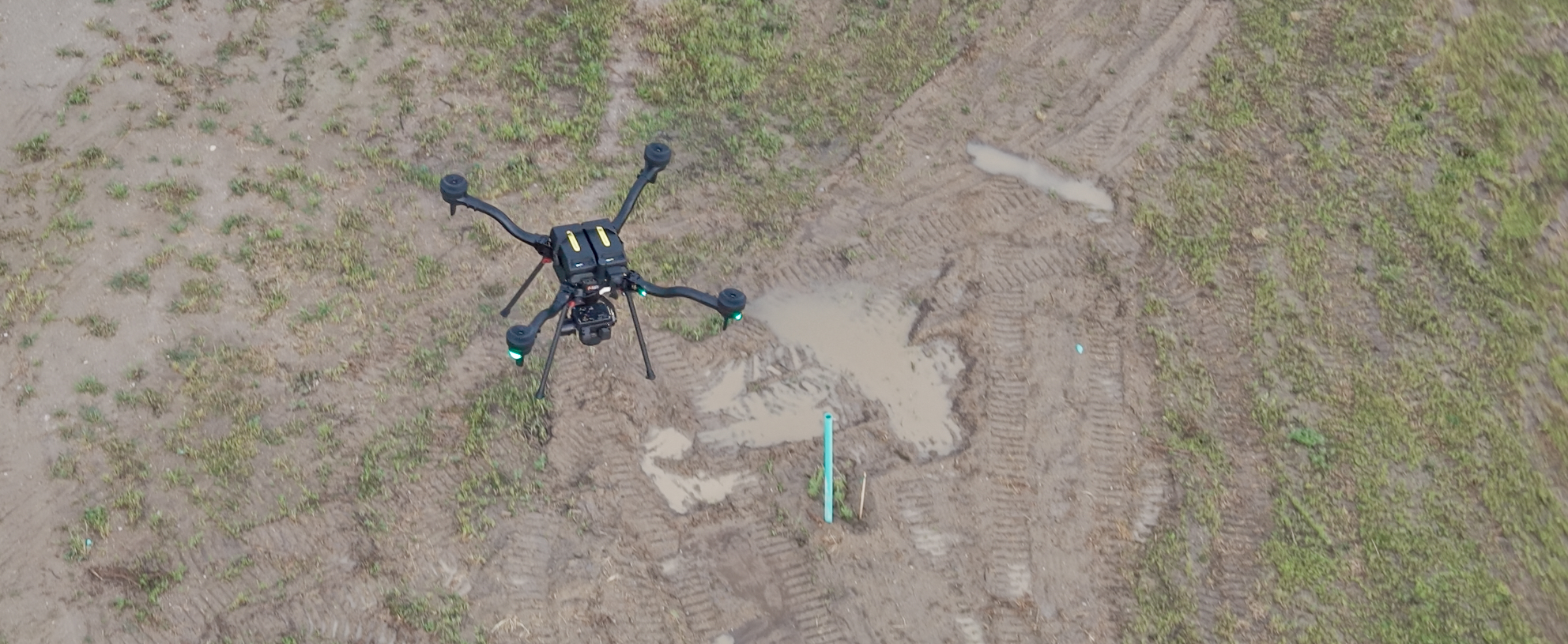
Civil & Geospatial Support
RTK-enabled aerial LiDAR and 61MP RGB collection — orthomosaics, point clouds, terrain surfaces, and construction documentation to support licensed survey teams, civil engineers, developers, and contractors.
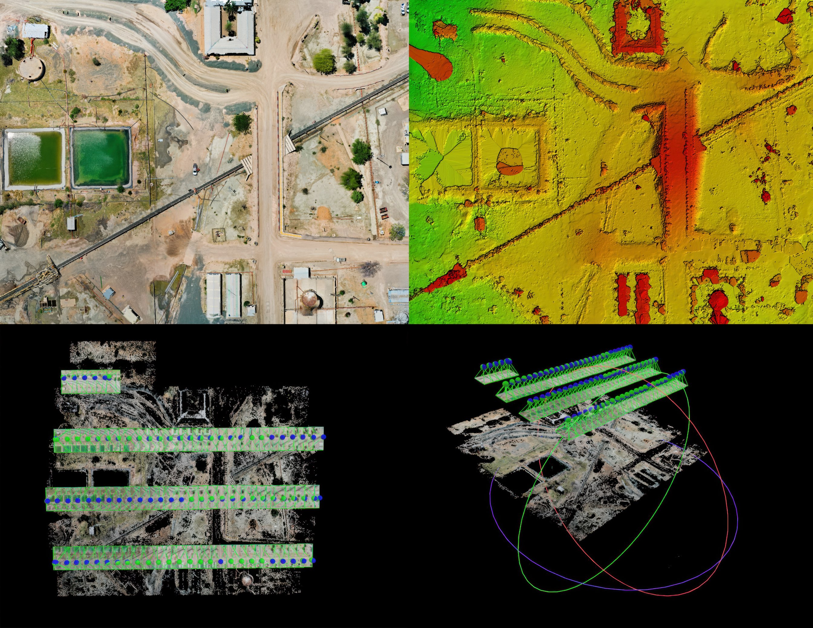
Construction Progress
RTK-referenced aerial capture that documents construction progress over time — orthomosaics, terrain surfaces, point clouds, and earthwork volumes for owners, GCs, and design teams.
When Facilities Bring MIR In
- Visible cracking, spalling, corrosion, deformation, or fallen material
- Roof-leak, vent, drainage, or water-entry concerns
- Maintenance planning before peak receiving season or a scheduled shutdown
- Post-wind, hail, lightning, fire, or severe-weather documentation
- Repair scoping and post-repair verification
- Engineering, board, insurer, or loss-control review
- Facility acquisition or condition-baseline documentation
- Open-pile inventory, construction planning support, surface review, or expansion planning support for client/engineer review
Grain Storage & Handling
Start With the Facility and the Decision
Provide the facility type, number and material of structures, known concerns, operating status, requested output, and intended reviewer. MIR will determine the collection method and deliverables appropriate to the project.