Defensible Condition Records for Critical Assets
MIR captures close-range RGB and radiometric thermal imagery of towers, blades, arrays, and structures — organized into defensible condition records your team can review, rate, and act on.
From Field Capture to Rated Findings
Inspections run through one accountable pipeline — scoped, flown, reviewed, and delivered by the same operator — so the record is consistent and traceable.
Mission Scoped
The asset list, access, and inspection scope are defined so every component gets the coverage it needs.
Flight Planning
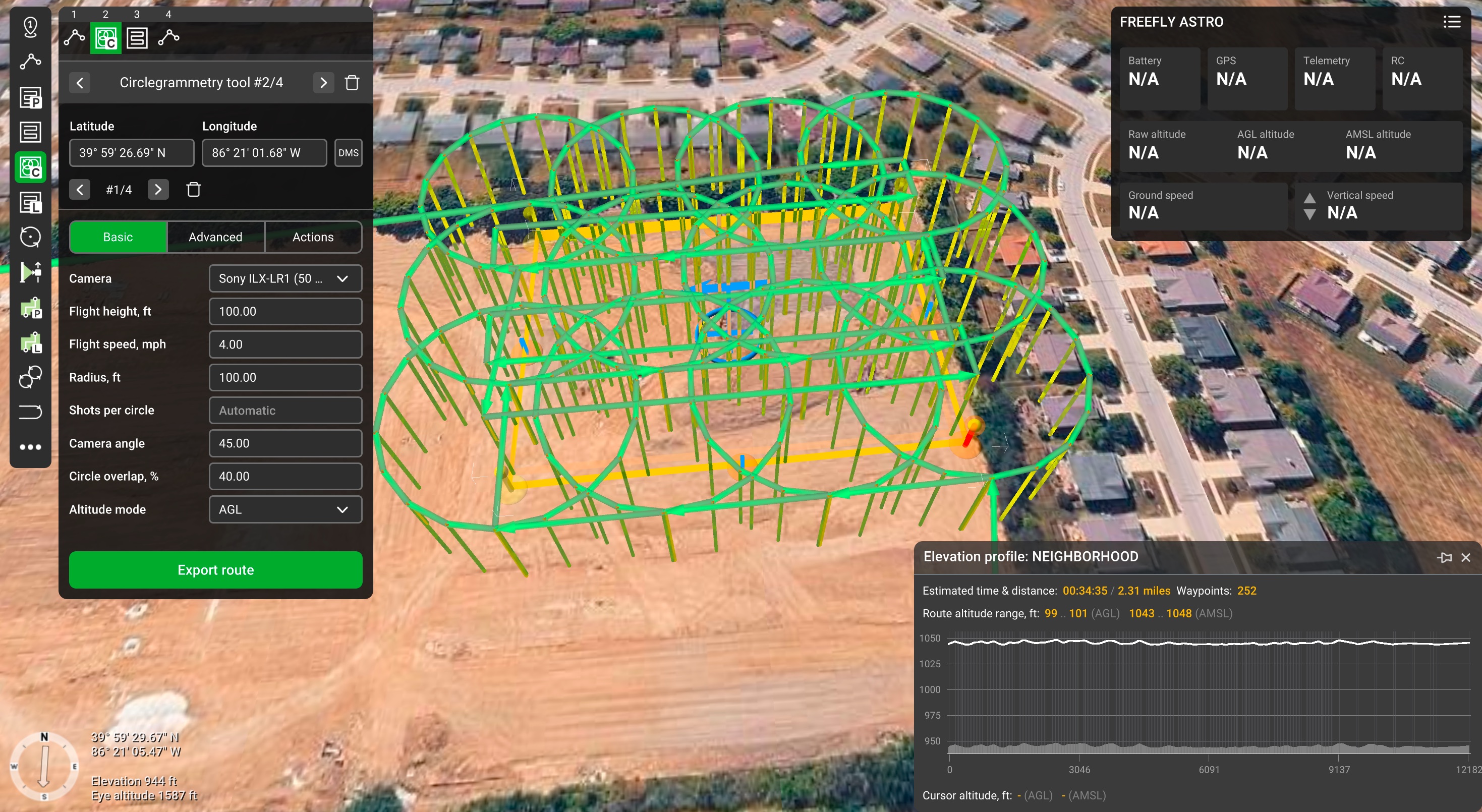
Routes are engineered in UgCS — standoff, overlap, altitude, and camera angles set per asset for repeatable, complete coverage.
Asset Flown
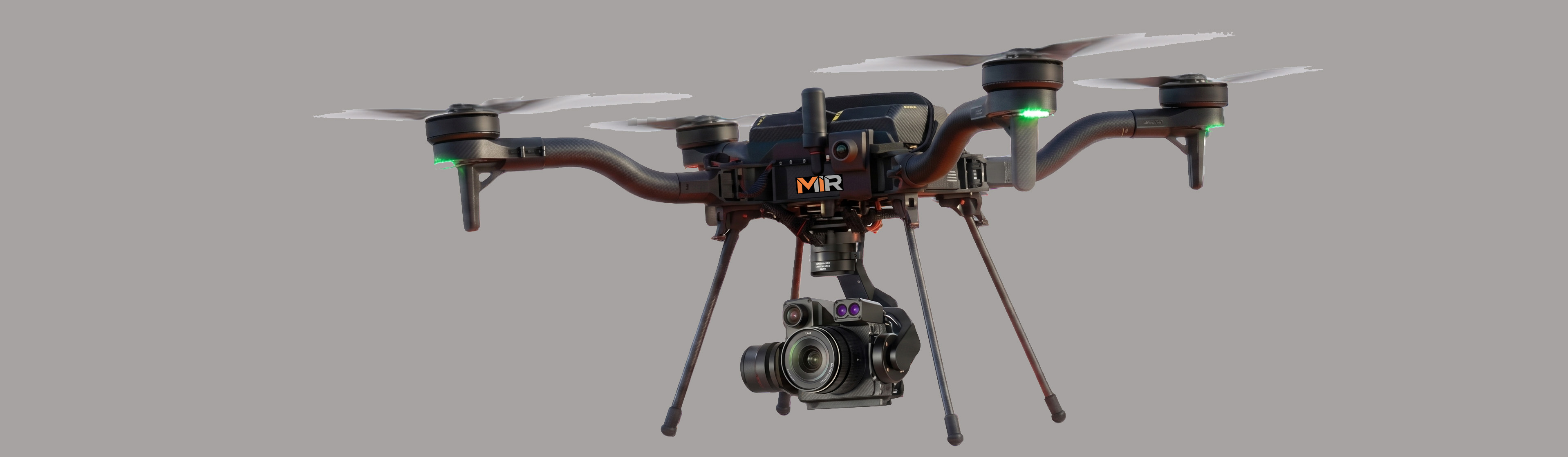
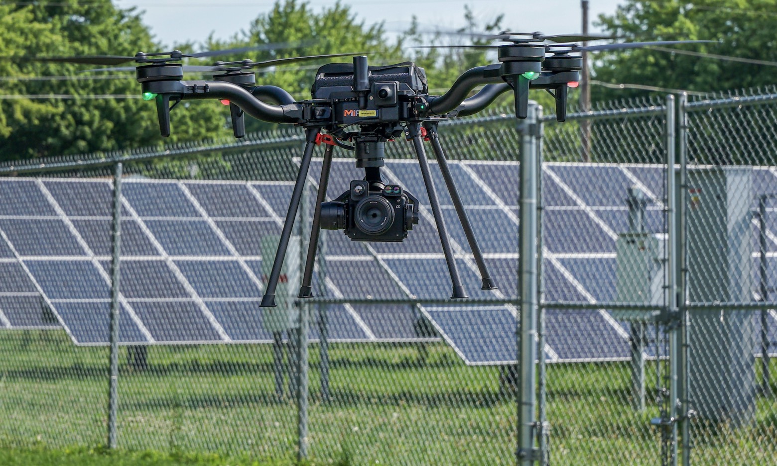
Each component is captured in RGB and radiometric thermal from the optimal standoff aboard a Blue UAS-cleared Freefly Astro.
Processing
Imagery is processed and anomalies are flagged, located, and rated by severity against the asset.
Delivery
Findings are delivered through a Scopito link your team can open in any browser — every anomaly tied to its component, annotated, and rated by severity, with nothing to install.
The Payloads MIR Flies
Every inspection is captured on American-made, Blue UAS Cleared hardware — the same aircraft and calibrated sensors on each mission, so imagery stays consistent asset to asset and year over year.
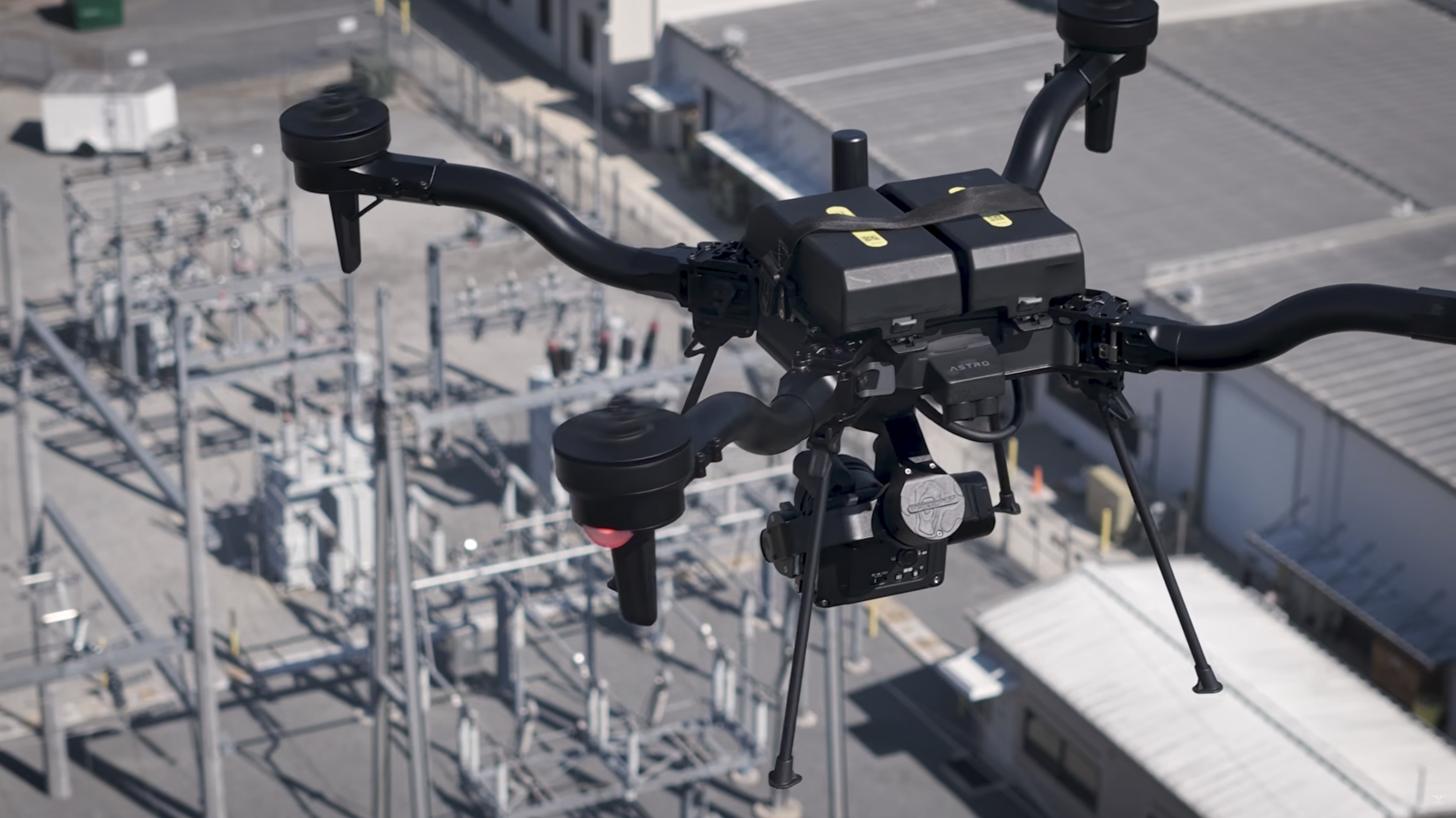
Freefly Astro
Blue UAS Cleared Aircraft
American-made airframe cleared for sensitive and regulated sites, flown with a redundant second aircraft so a mission is never grounded by a single point of failure.
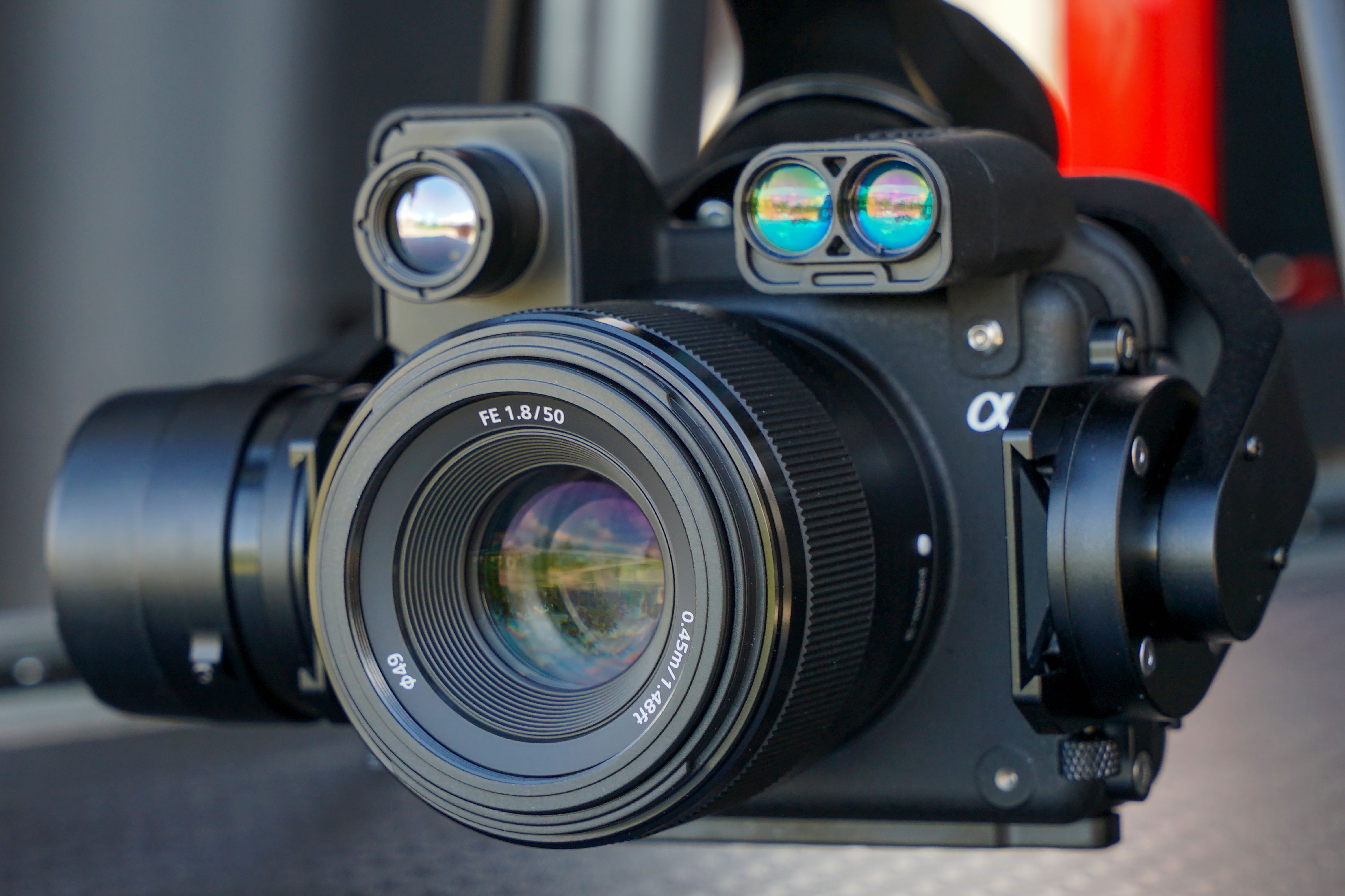
Sony ILX-LR1
61MP Full-Frame RGB
Full-frame 61-megapixel images resolve hairline cracks, corrosion, and fastener-level detail from a safe standoff — no climb required.
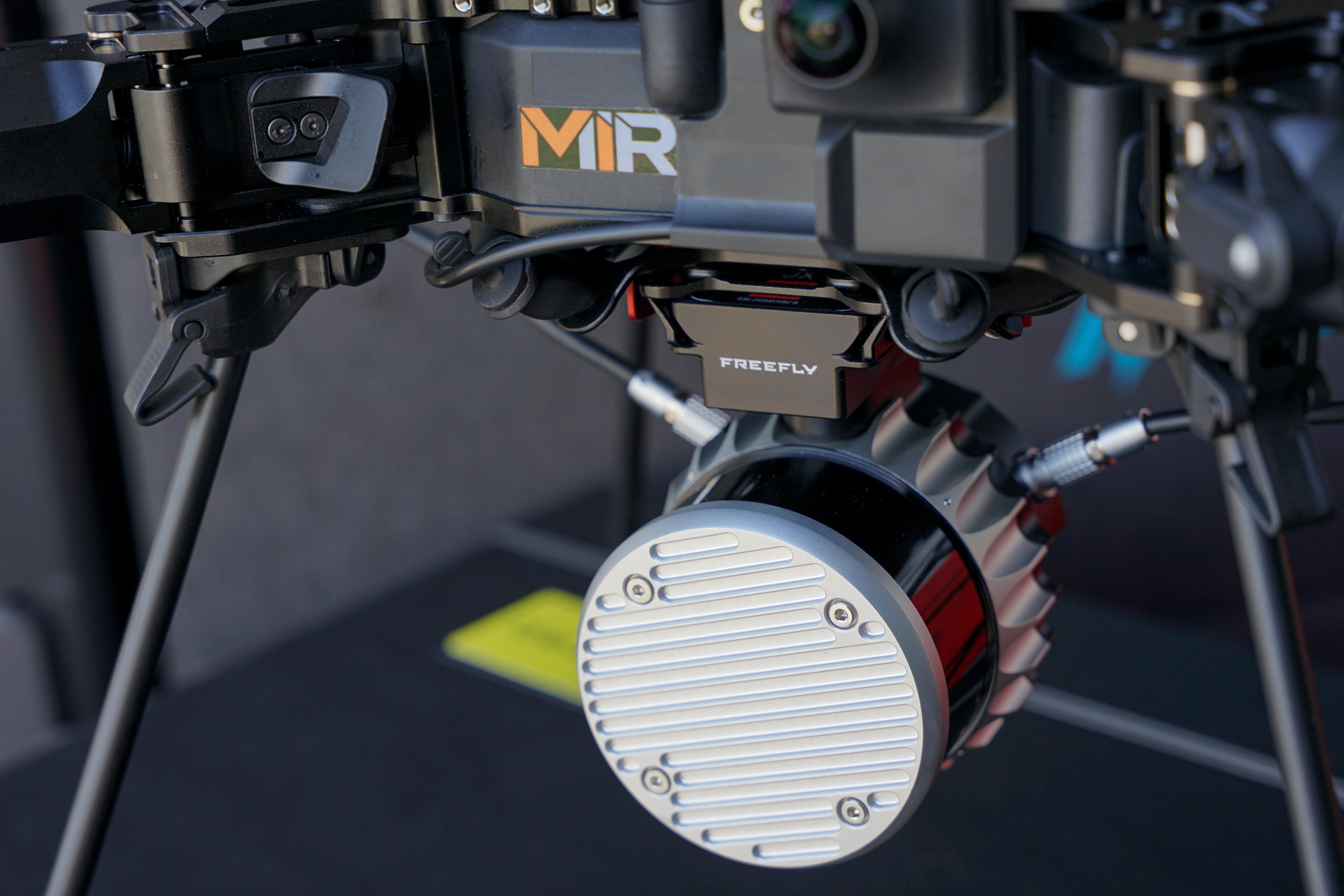
Freefly Flux O1
Survey-Grade LiDAR
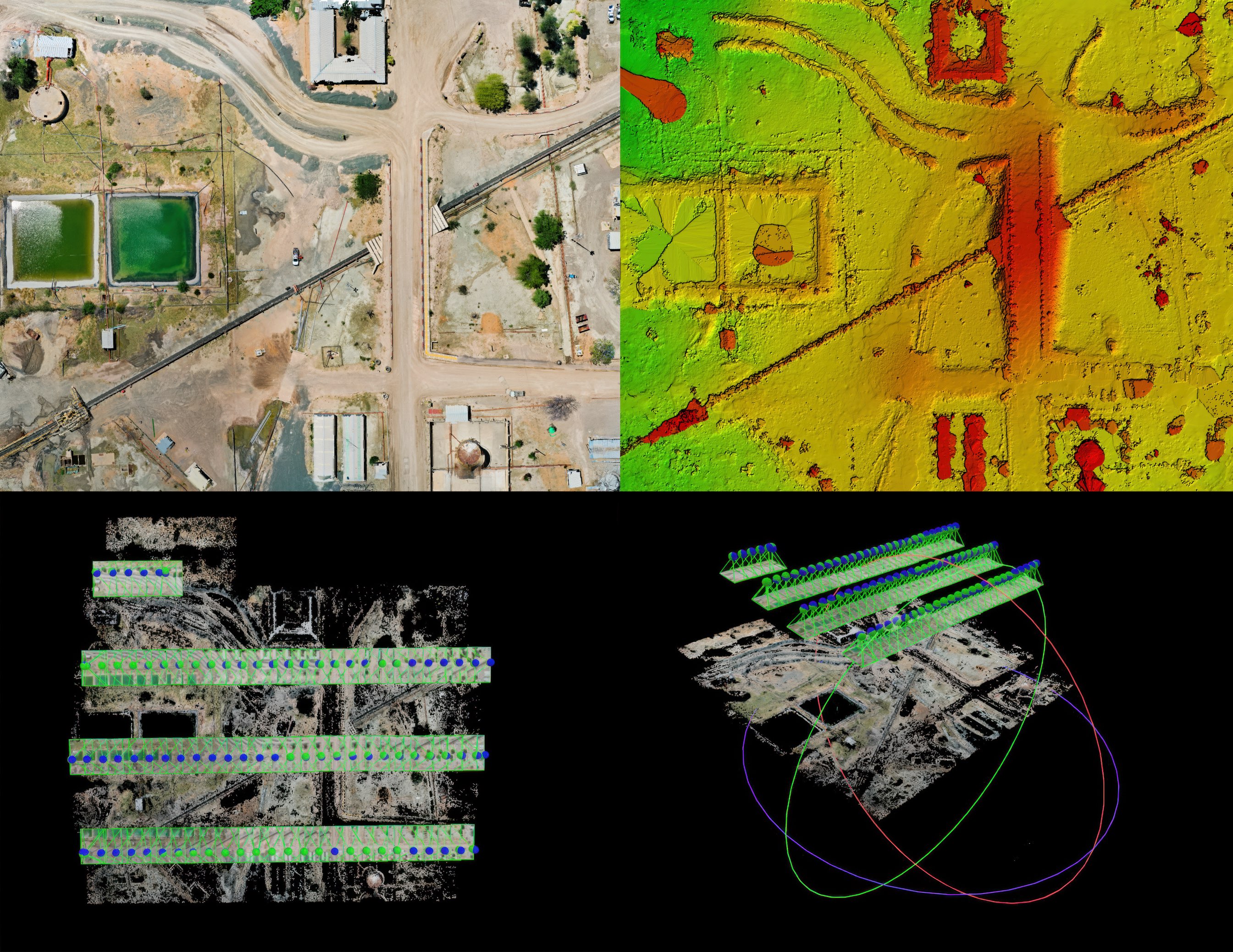
High-density LiDAR captures dense 3D point clouds through vegetation and complex structure — measurable geometry for corridors, terrain, and volumes where photogrammetry alone falls short. Running Freefly Flow on the Astro, a measurable point cloud is built right in the field, so coverage can be verified on site before the aircraft leaves the ground.
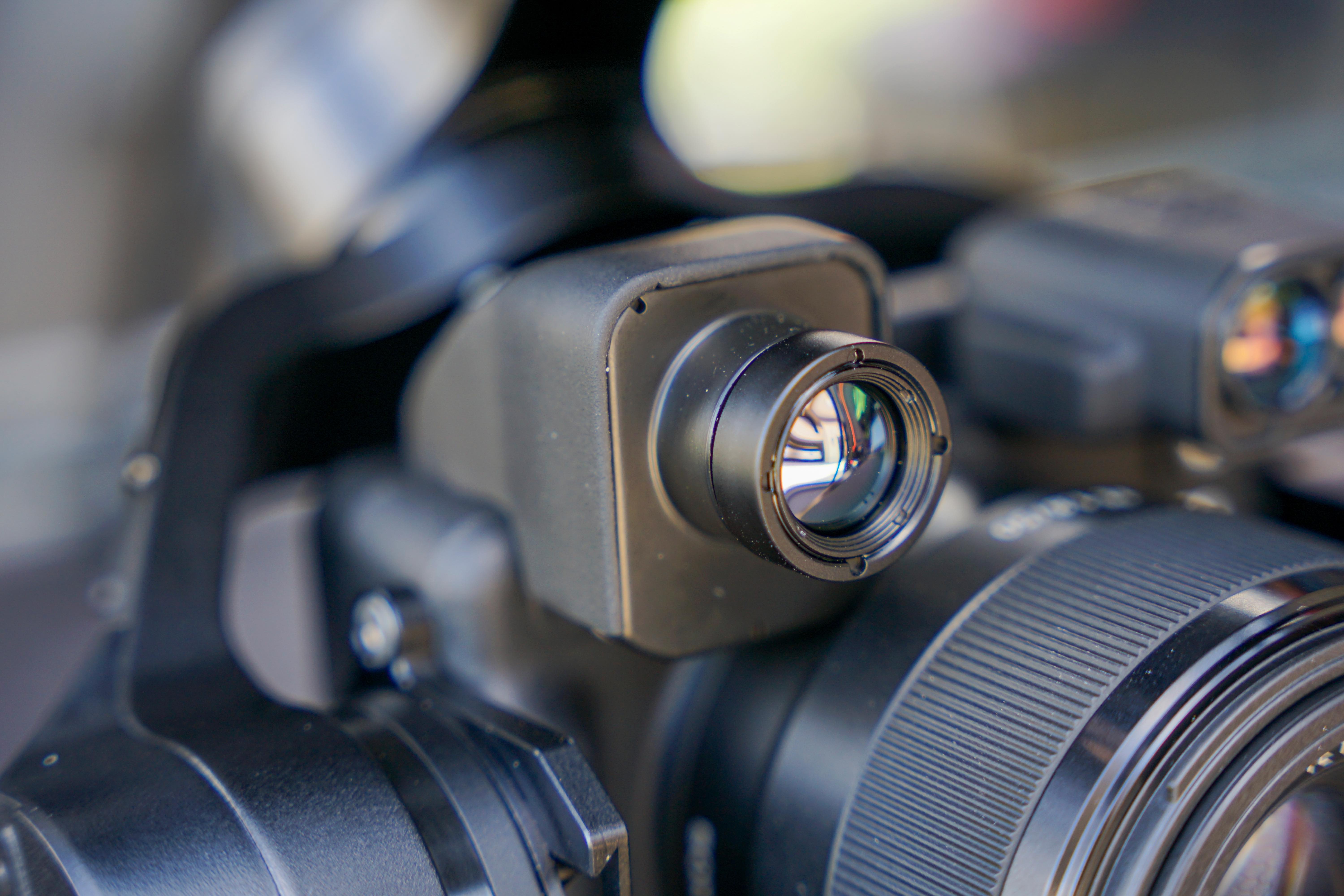
FLIR Boson+ 640
640×512 Radiometric LWIR
Temperature-calibrated radiometric thermal surfaces hot spots and anomalies invisible in daylight — every pixel carries a measurable temperature reading, delivered as geotagged radiometric TIFF imagery.
InCORS RTK Control
Survey-Grade Positioning
Every mission ties to the InCORS RTK network and surveyed ground control — LiDAR GCPs and check points plus RGB GCPs and check points — so both point clouds and imagery are verified to survey-grade accuracy.
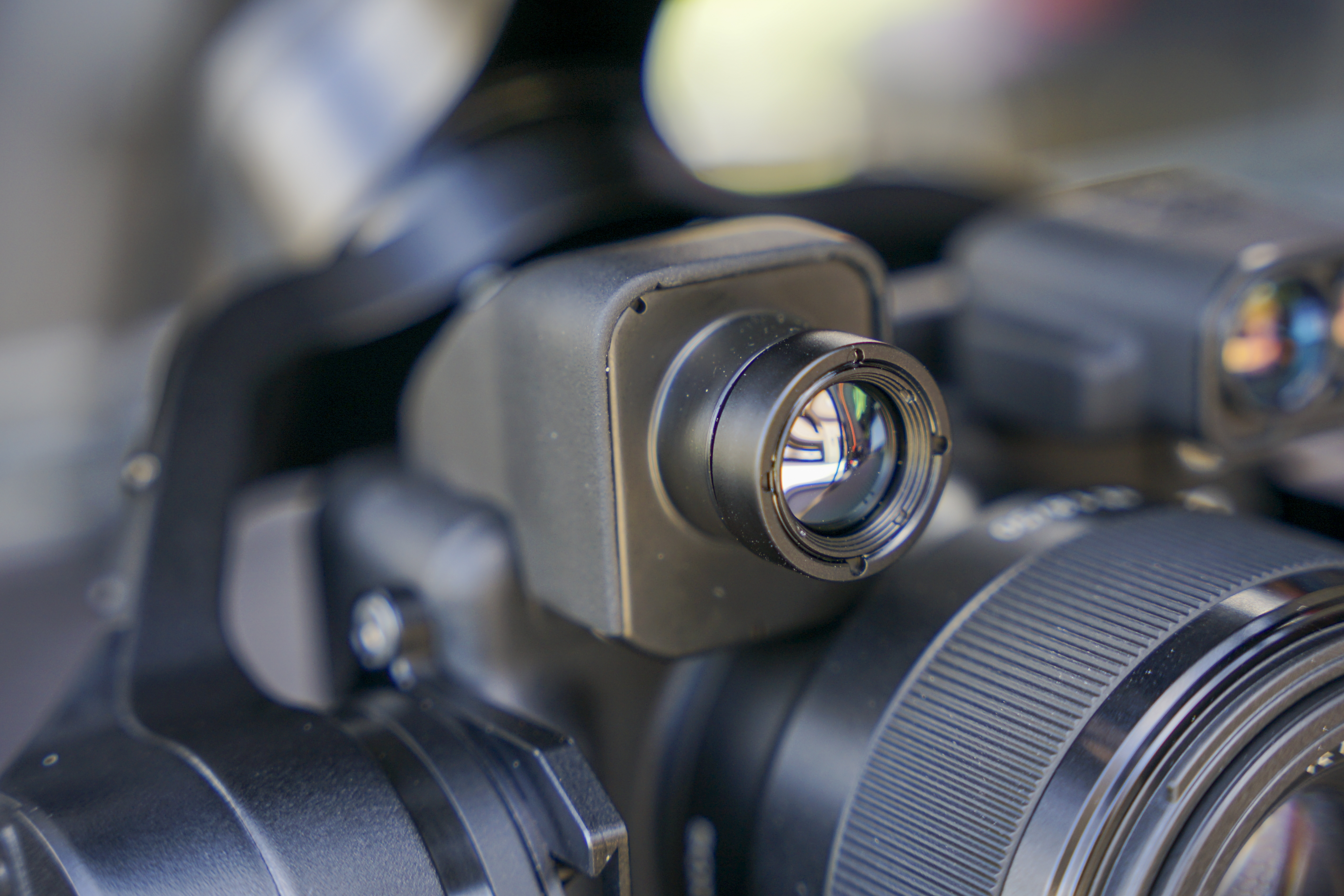
Laser Rangefinder
Direct Distance & Clearance
When a photo is captured, the distance readout at that time is also saved in the image metadata.
Every Finding, Organized in Scopito
MIR delivers inspections through Scopito — the asset-management platform built for infrastructure inspection. Imagery is never dumped in a folder; it is tied to the specific component, annotated, and rated by severity so your team acts on findings instead of hunting through photos.
- 01
Per-Asset Structure
Every image is filed against the specific tower, blade, string, or span it documents — so the record maps to your asset register, not a camera roll.
- 02
Severity-Rated Findings
Anomalies are flagged, located, and scored by severity, so the most urgent repairs rise to the top and nothing critical gets buried.
- 03
Annotated Evidence
Each finding carries a marked-up image and notes — defensible documentation your team, warranty provider, or regulator can review.
- 04
Condition Tracked Over Time
Because captures are consistent and filed the same way, a component can be compared year over year — so a defect is caught progressing before it fails.
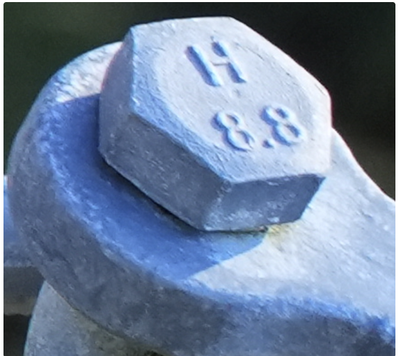 Zoomed detail
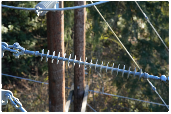 Wide
Wide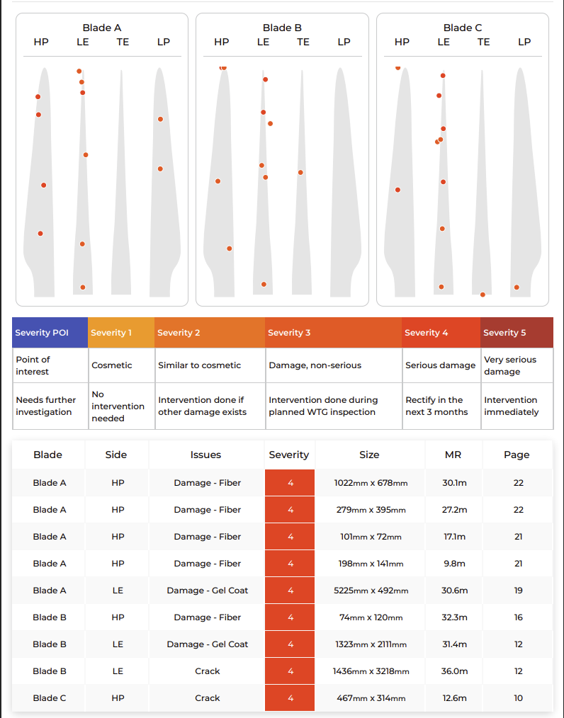
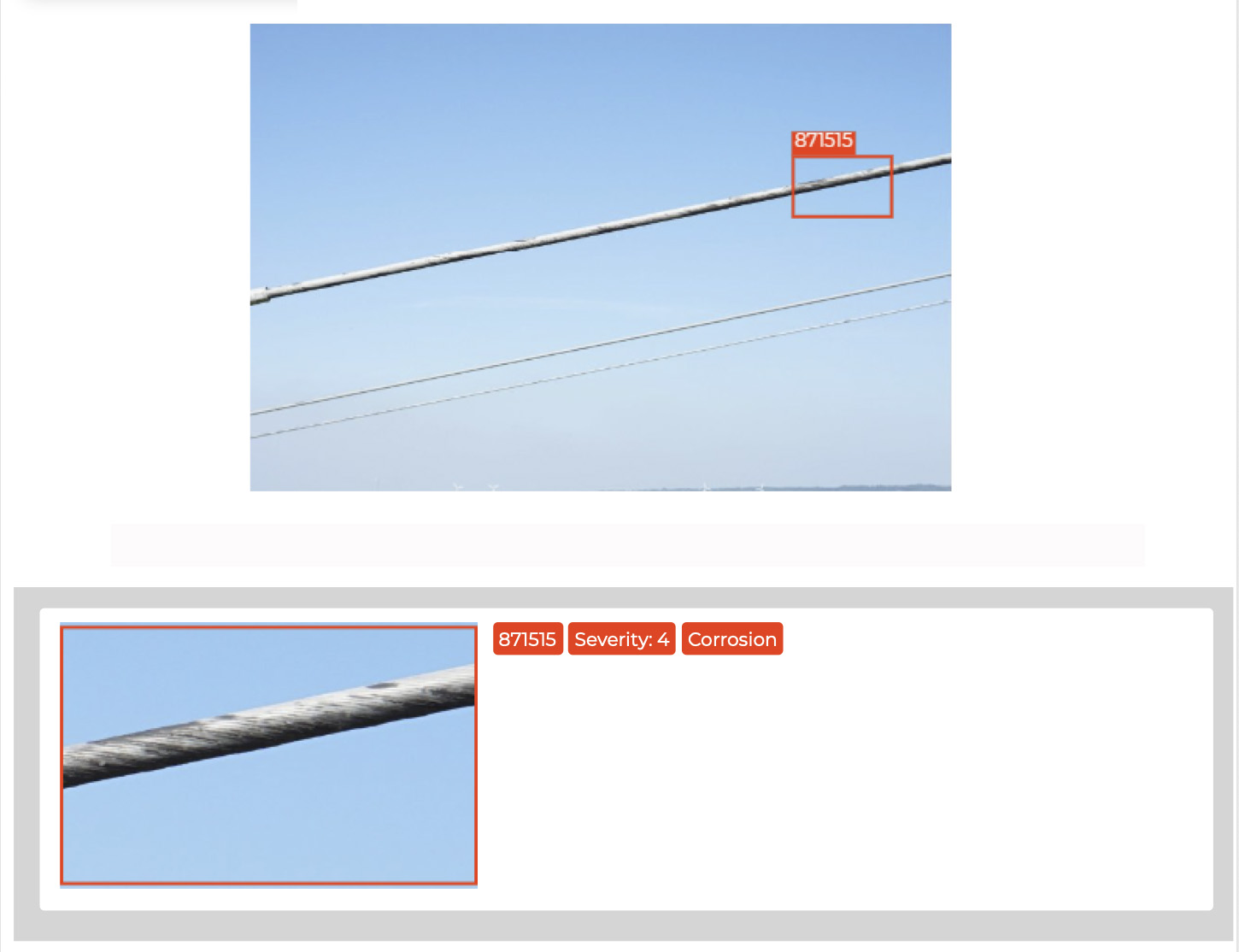
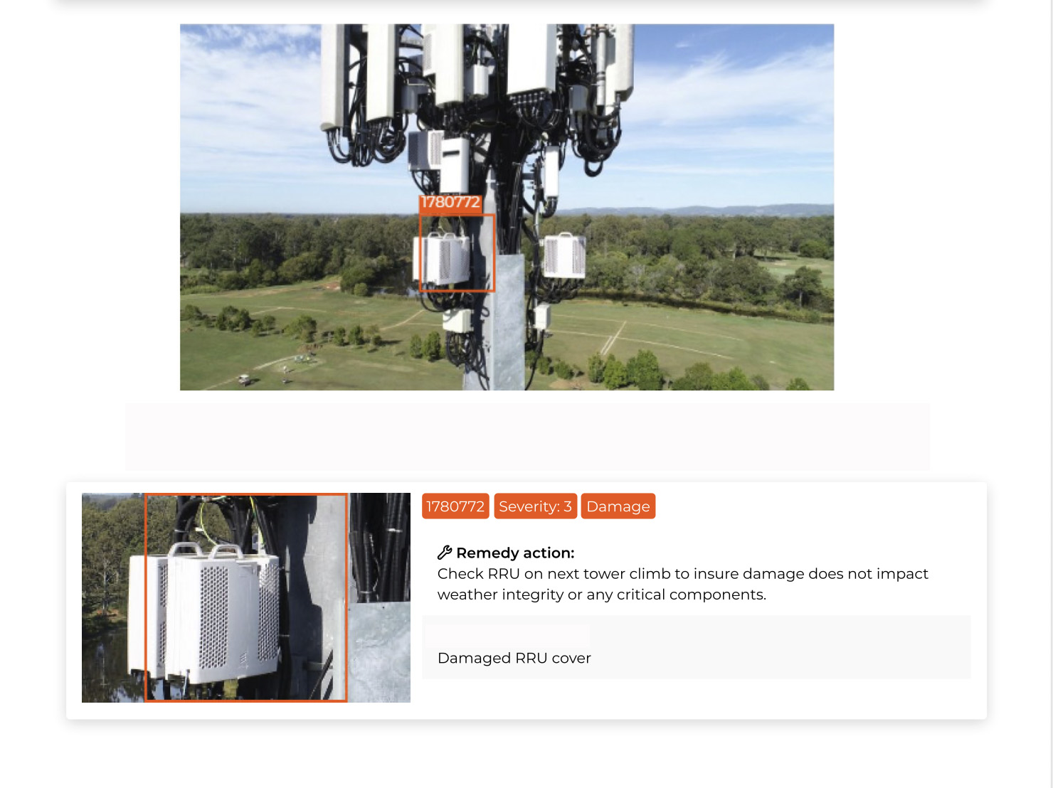
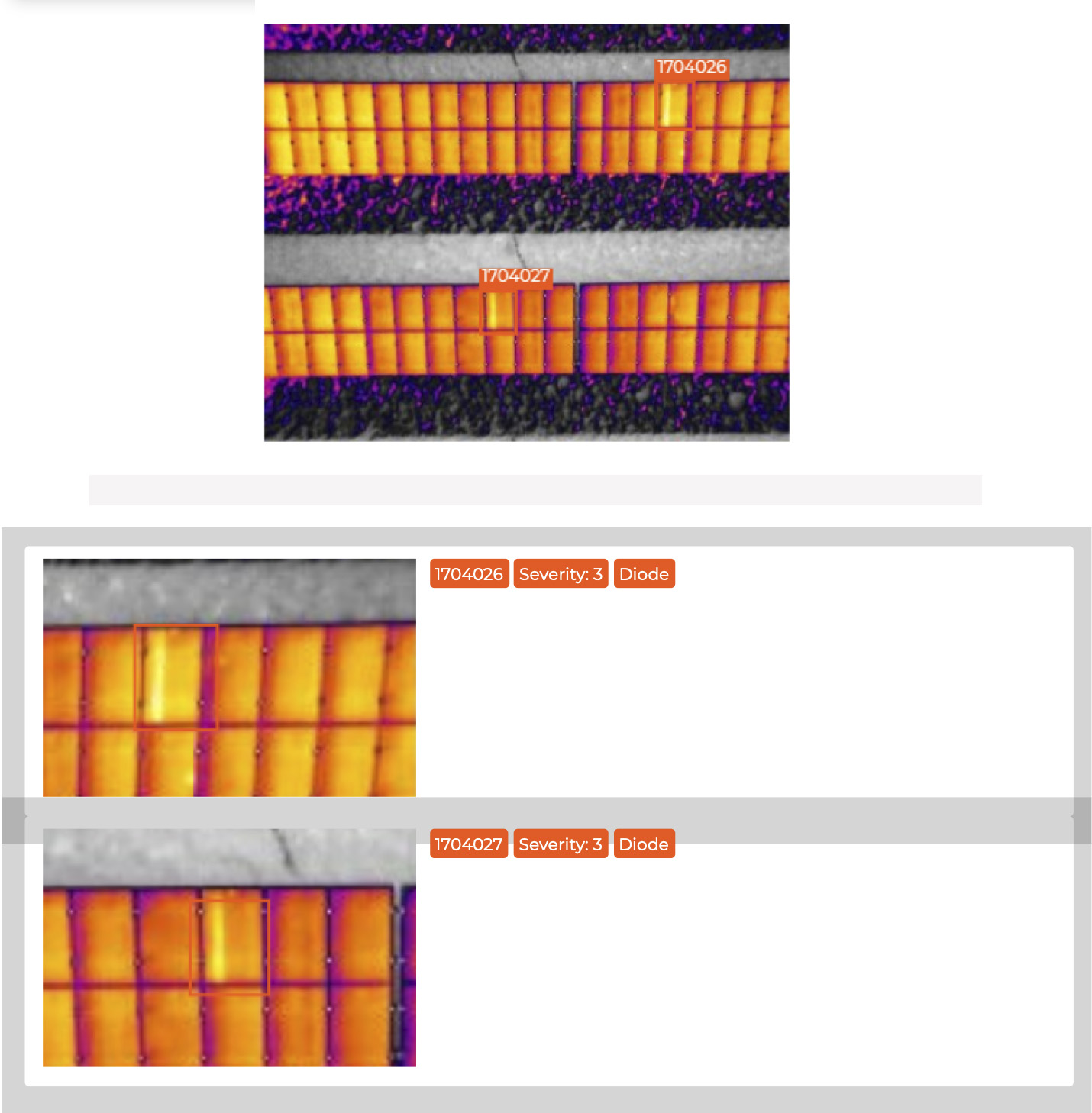
Findings are delivered through a Scopito cloud link — review, filter, and export — with imagery as JPG, TIFF, and radiometric TIFF plus PDF and CSV reports.
What Defensible Records Are Worth
Aerial inspection is safer than sending crews up a tower — but the bigger payoff is what rated, documented findings do for a maintenance budget: the right assets serviced at the right time.
- 01
Catch Failures Early
Find cracks, hot spots, and corrosion while they are still cheap fixes — before they become unplanned outages or catastrophic failures.
- 02
Prioritize by Severity
Severity-scored findings tell crews which assets need attention now and which can wait — so budget goes to the work that matters.
- 03
Cut Downtime & Truck Rolls
A drone documents an asset in a fraction of the time of a climb or bucket truck — less downtime, and fewer people in harm’s way.
- 04
Defensible Documentation
Time-stamped, geo-tagged records back up warranty, insurance, and compliance — proof the condition was documented and acted on.
Industries Served
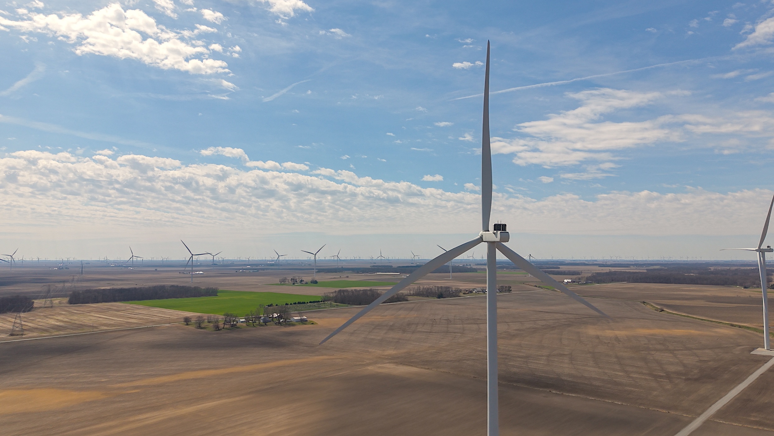
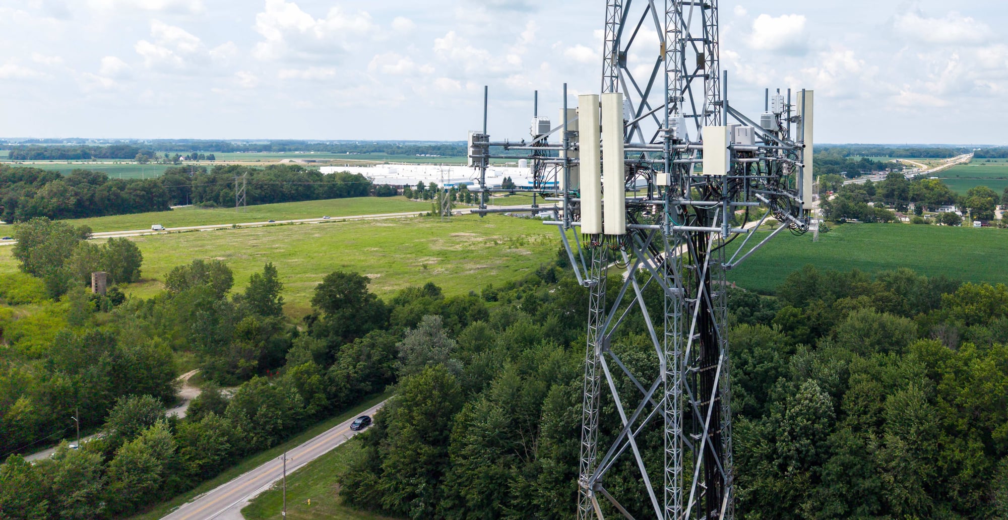
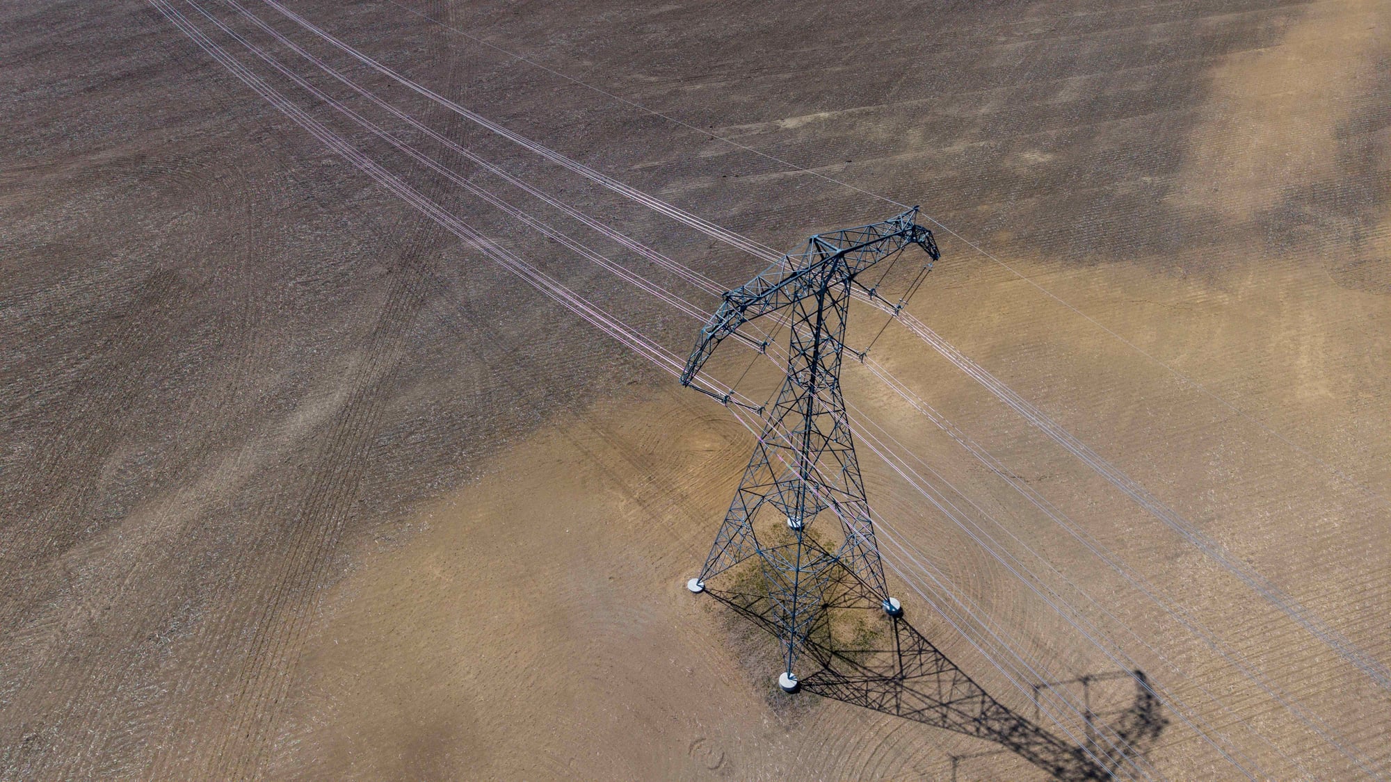
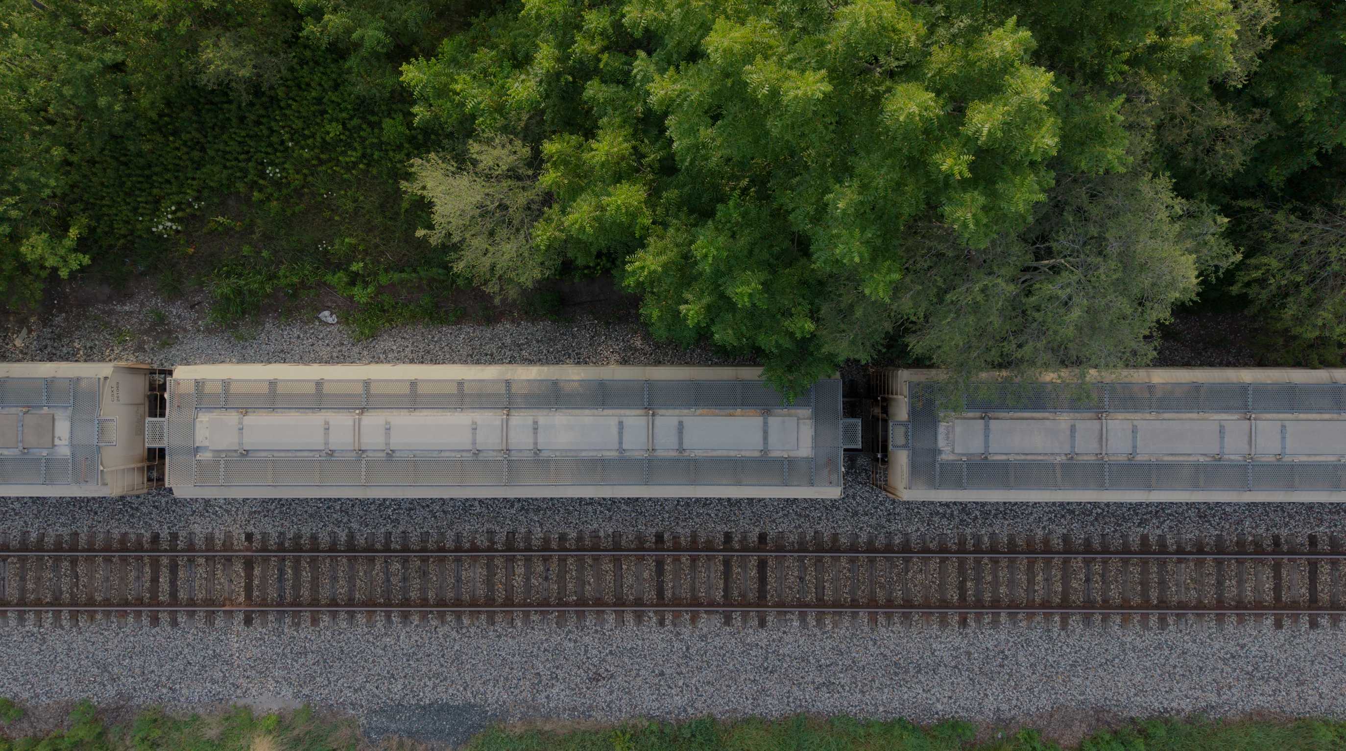
Asset owners who rely on MIR inspections to document condition and catch problems early.
Start With the Project Objective
Bring MIR Your Next Site or Asset
Share what needs to be inspected, mapped, measured, documented, or reviewed. MIR will help determine the appropriate collection method, payload, mission structure, and deliverables — from flight plan to field deployment.