
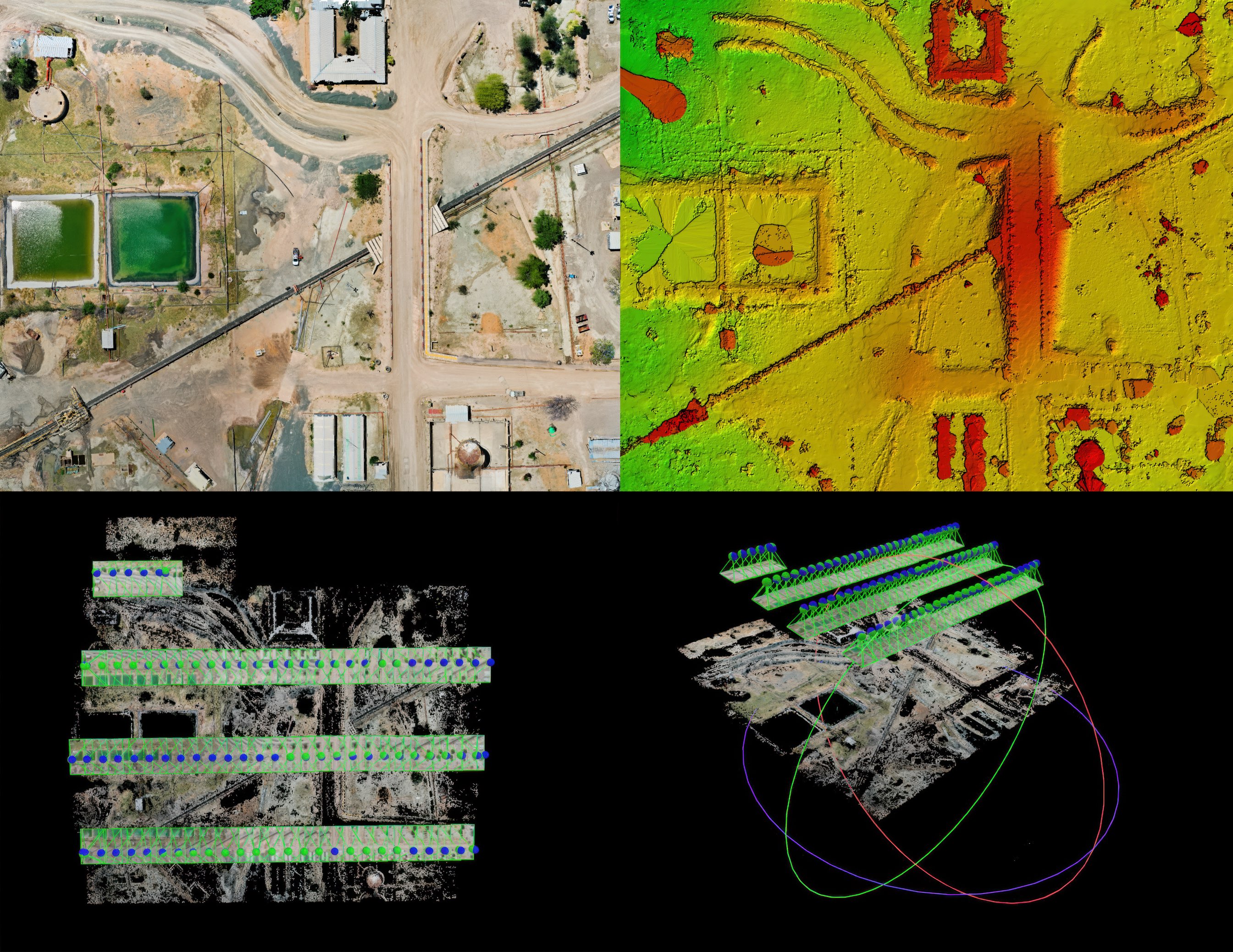
Construction Progress
Repeatable aerial documentation of active construction sites — RTK-referenced 61MP RGB and LiDAR captured on a set interval so owners, general contractors, and design teams can track progress, verify earthwork, and hold a defensible visual record of the project.
Purpose-Built Data for Construction Progress
Recurring Schedule
The same site flown on a set interval so progress is documented over time.
Uniform Processing
Every capture processed the same way so datasets line up for direct comparison.
Period-Over-Period
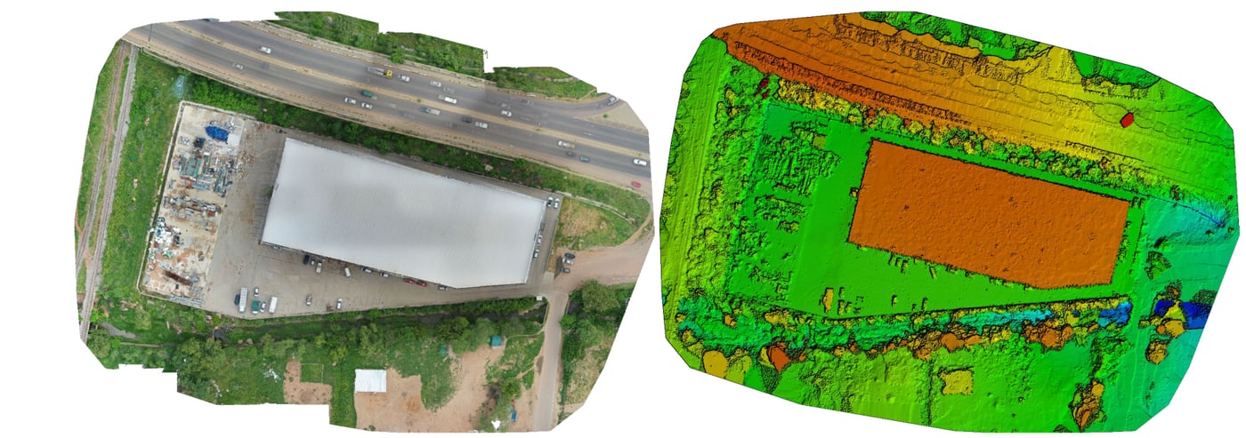
Aligned orthomosaics and surfaces that show exactly what changed between visits.
Earthwork Volumes
Terrain surfaces, point clouds, and volume measurements to verify earthwork.
CAD/GIS Ready
Georeferenced to your control and coordinate system, exported ready to drop in.
From Flight Plan to Work Order
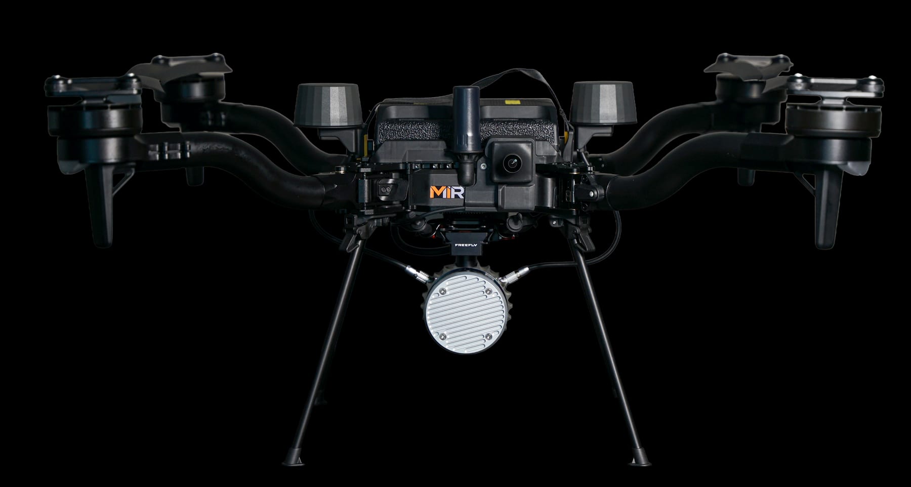
Every construction progress project runs the same repeatable pipeline: missions are planned in UgCS, flown autonomously by AMC (Auterion Mission Control) on American-made Freefly Astro aircraft, then offloaded to the right software — Pix4Dmatic for mapping and photogrammetry, Scopito for inspection findings, and Freefly Flow for in-field LiDAR point clouds.
- Step 01
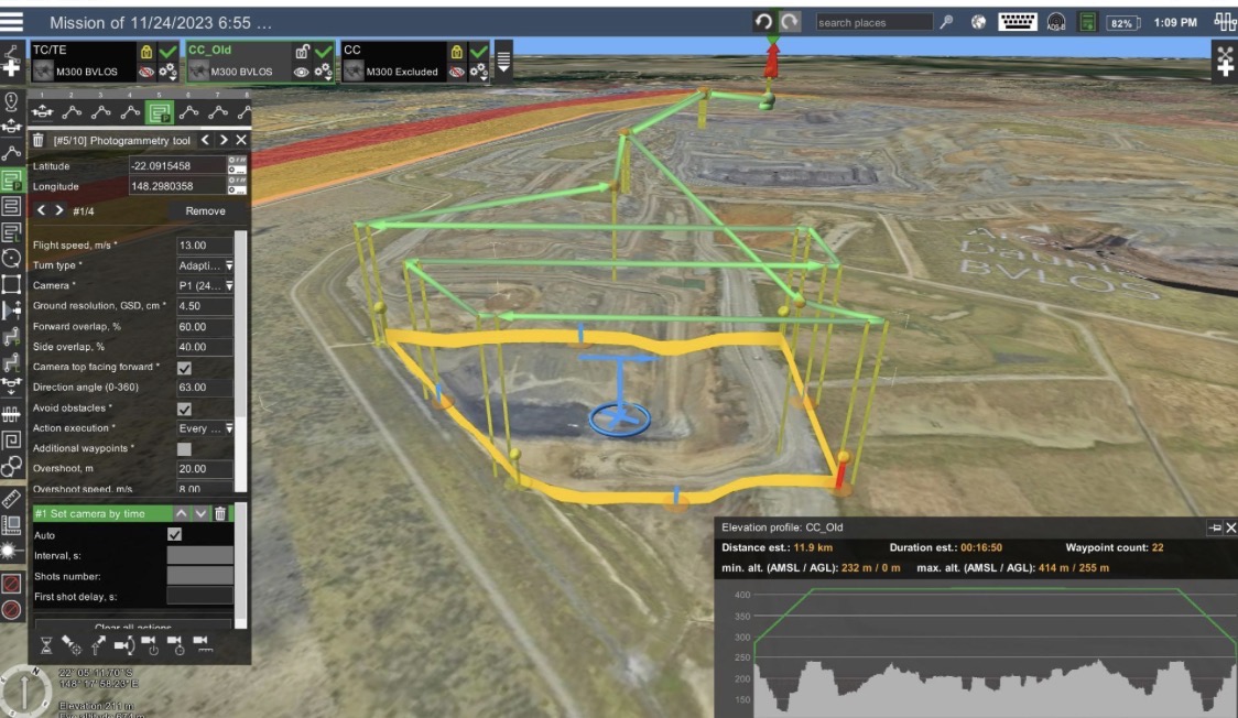
Mission Planning
Each visit is programmed in UgCS to the same AOI, ground control, coordinate system, and target Ground Sampling Distance so every capture in the series is directly comparable.
- Step 02

Interval Capture
The mission is flown autonomously by AMC on American-made Freefly Astro aircraft, capturing RTK-referenced 61MP RGB and LiDAR on the agreed interval. Freefly Flow confirms coverage on-site before demobilizing.
- Step 03

Compare & Deliver
Each capture is processed in Pix4Dmatic into orthomosaics, point clouds, and terrain surfaces, then compared period-over-period for progress and earthwork volumes. Datasets export as LAS/LAZ, GeoTIFF, and CAD/GIS-ready files.
Services MIR Provides
Recurring Progress Documentation
Repeatable aerial capture on a set interval that documents construction progress over time for the project record.
Earthwork & Stockpile Volumes
Volumetric data from RGB and LiDAR surfaces for cut/fill tracking, earthwork verification, and stockpile measurement.
Site Orthomosaics & Terrain
RTK-referenced orthomosaics and DSM/DTM terrain surfaces of the site for planning, coordination, and design review.
Point Clouds & 3D Site Models
Dense photogrammetric and LiDAR point clouds and textured 3D models for coordination and as-built comparison.
What You Receive
Deliverables are organized around the project objective, collection method, required accuracy, and downstream workflow. Final formats are confirmed during project scoping.
- Period-over-period progress orthomosaics
- Earthwork cut/fill and stockpile volumes
- DSM, DTM, and terrain surfaces
- RGB and LiDAR point clouds
- 3D site models
- CAD/GIS-ready LAS/LAZ and GeoTIFF exports
What This Service Does — and Does Not — Include
- MIR provides aerial data collection and construction-progress documentation — RTK-referenced imagery, mapping, terrain surfaces, and volumetric measurements captured to client-supplied control and specifications.
- This service does not include certified boundary surveys, structural or geotechnical engineering, materials testing, or professional surveying opinions, which remain the responsibility of appropriately licensed professionals.
- Volume and earthwork figures are measurement estimates based on the captured surface and client-supplied control, reference elevations, and material assumptions.
Explore Other Industries MIR Serves
Wind Energy
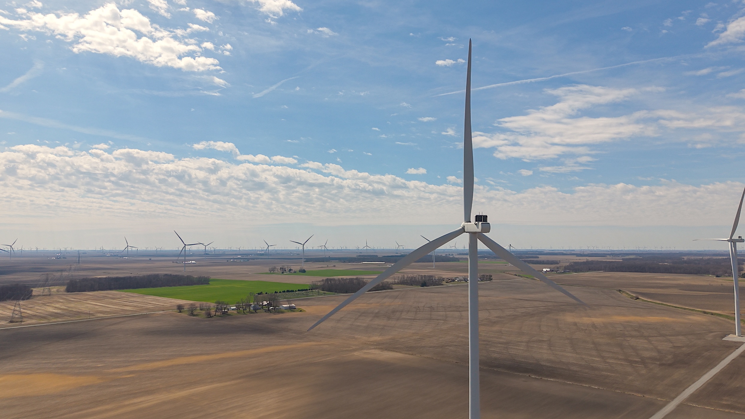
Wind inspection data collection and vendor support — blade, tower, and nacelle records that pinpoint leading-edge erosion and serial defects without prolonged downtime.
Telecom
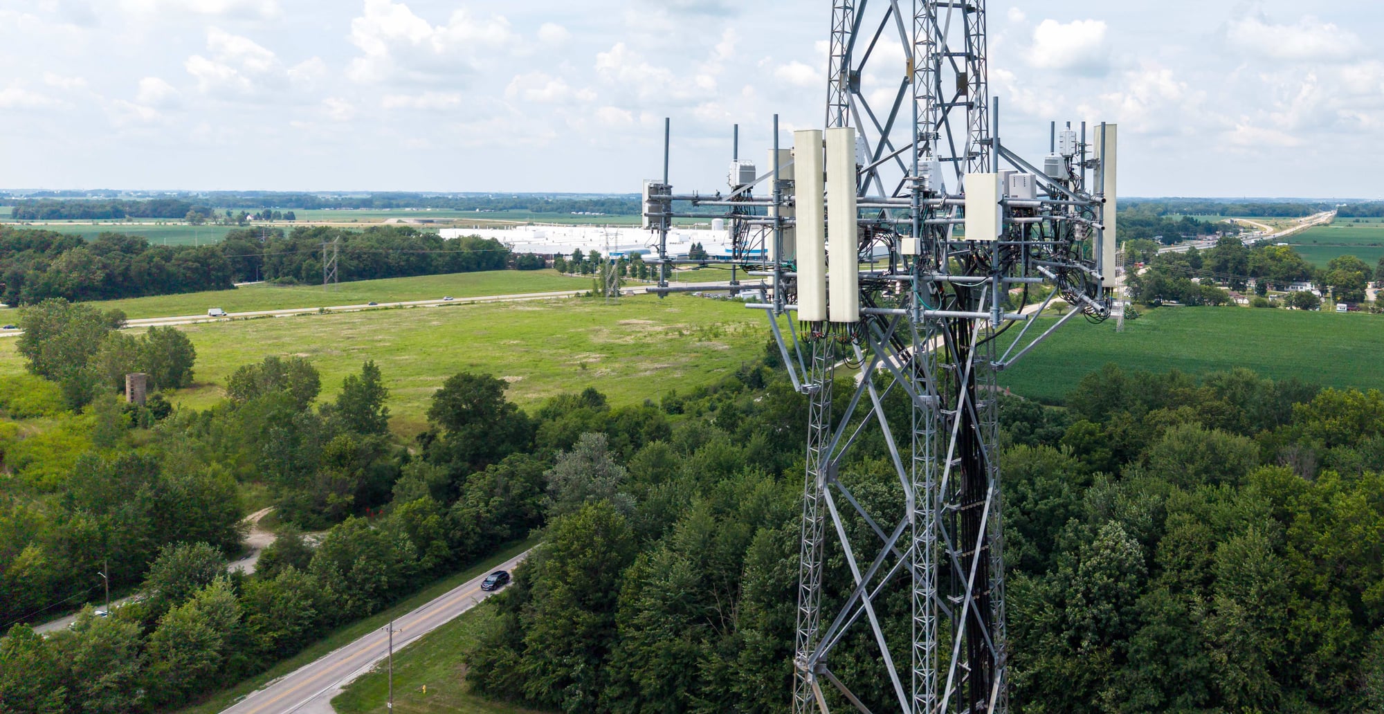
Cell-site audits, structural documentation, and measurable digital twins that support colocation and close-out.
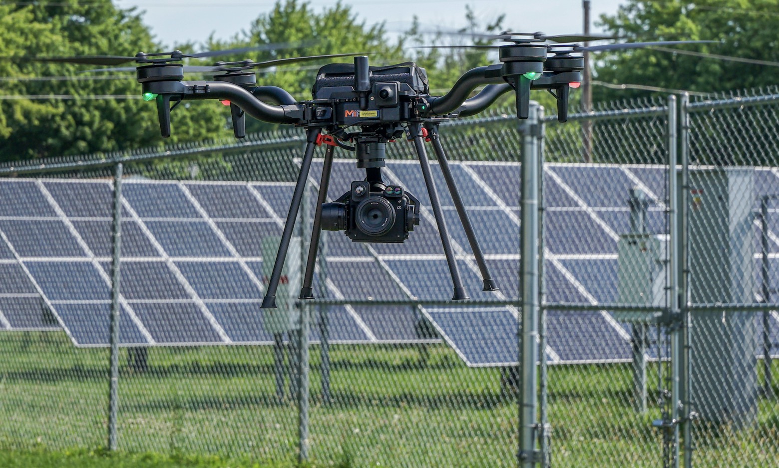
Solar & Renewables
Aerial thermography that locates hot spots, diode failures, and string outages down to the module.
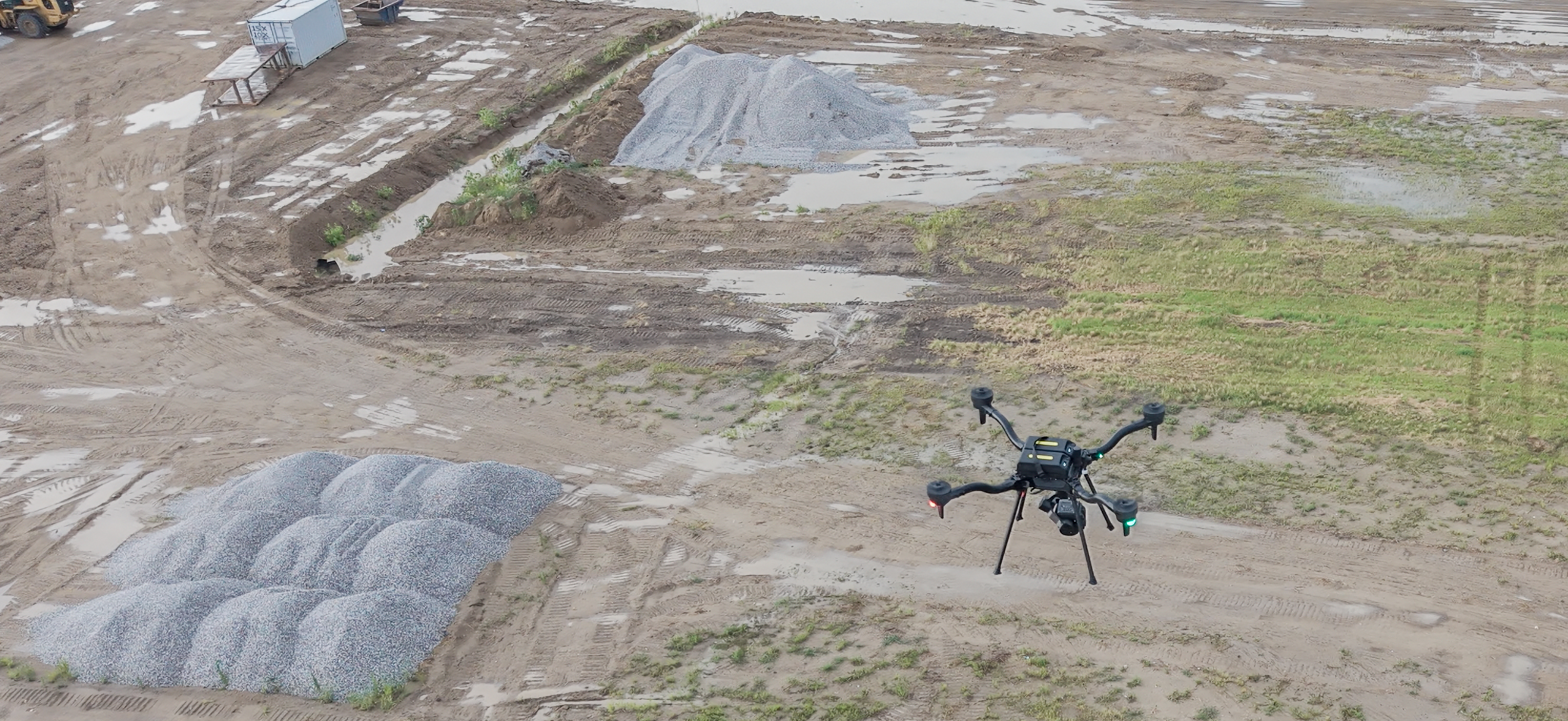
Mining & Aggregates
RTK-referenced stockpile volumetrics, pit-progression models, and highwall documentation — captured with high-accuracy photogrammetry and LiDAR, without entering hazardous zones.
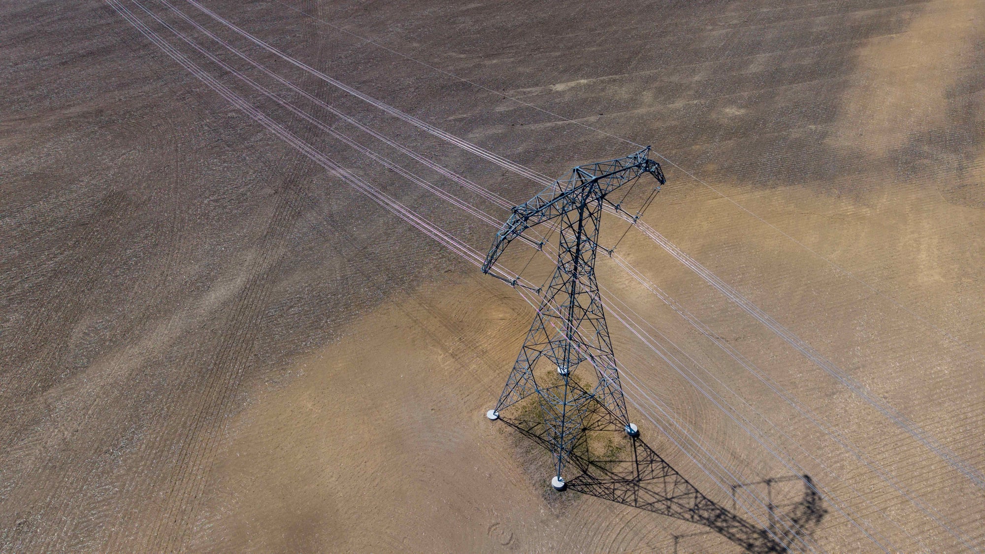
Utilities & ROW
T&D structure inspection, LiDAR corridor mapping, and vegetation-encroachment documentation for reliability and compliance.
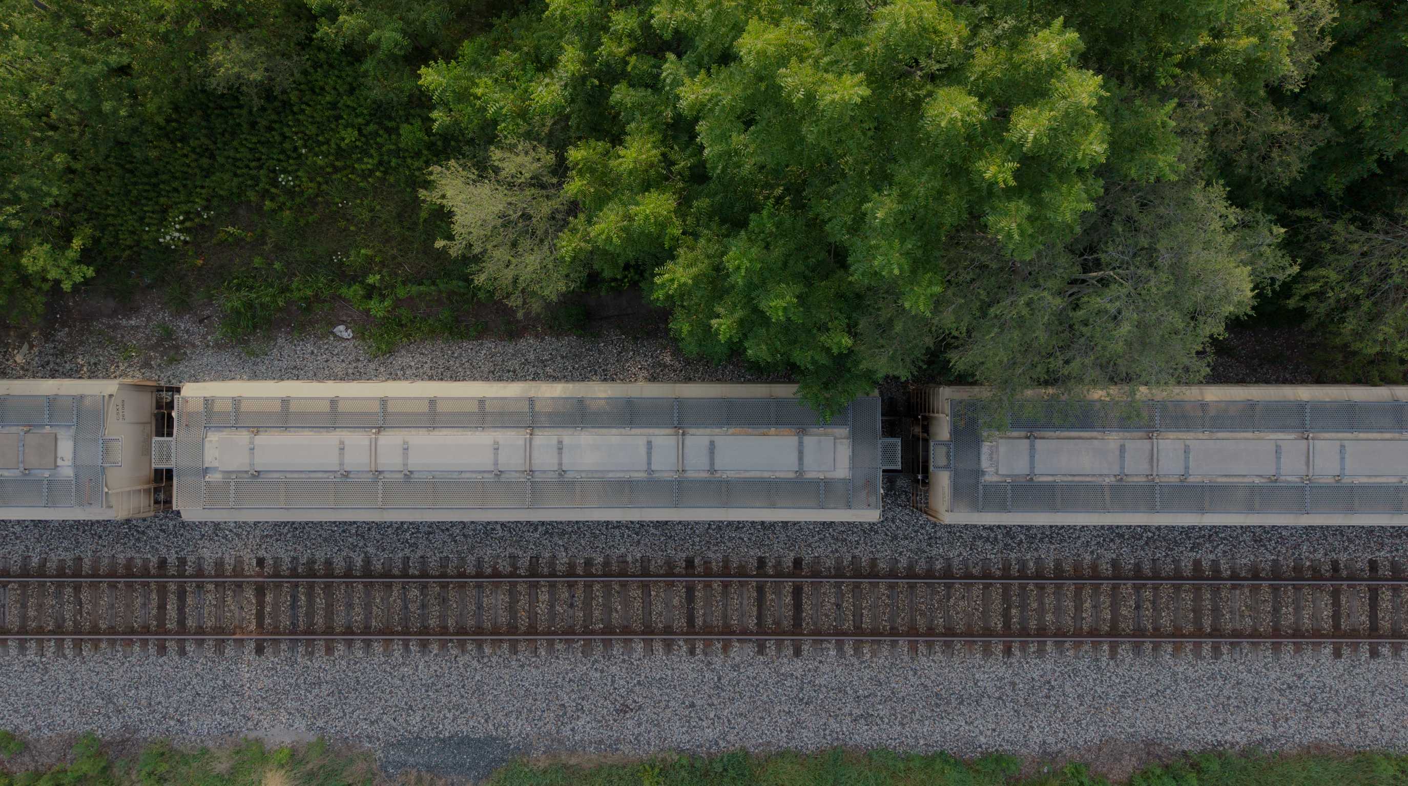
Rail & Transportation
RGB corridor mapping and LiDAR data along rail corridors — reducing time spent on or near live track.
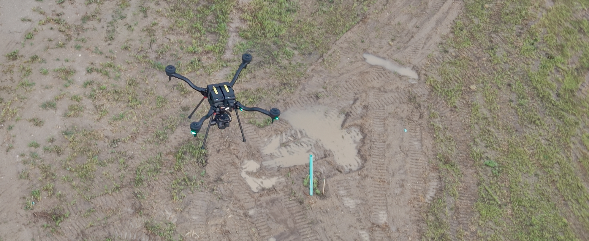
Civil & Geospatial Support
RTK-enabled aerial LiDAR and 61MP RGB collection — orthomosaics, point clouds, terrain surfaces, and construction documentation to support licensed survey teams, civil engineers, developers, and contractors.
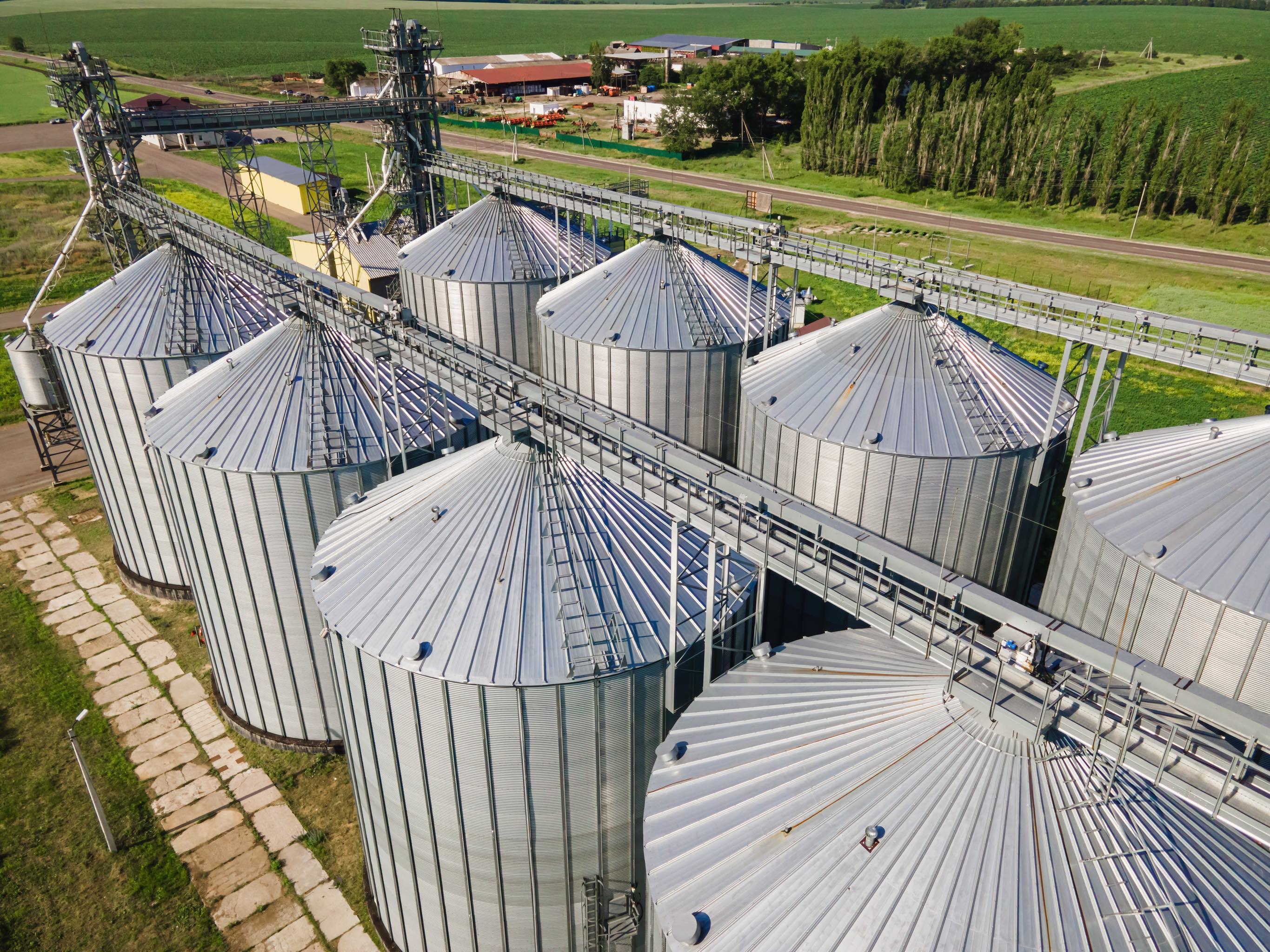
Grain Storage & Handling
Exterior condition documentation, thermal risk screening, and RTK-referenced quantity data for concrete silos, steel grain bins, elevator structures, handling equipment, and visible open storage.
Construction Documentation
Track a Site From Groundbreaking to Closeout
Send MIR the site limits, control requirements, coordinate system, capture interval, and deliverables. MIR provides repeatable aerial progress documentation throughout Indiana and the Midwest.