
Measurable, Surveyed-Grade Site Data
MIR collects RTK mapping, LiDAR, photogrammetry, and radiometric thermal, then processes it into orthomosaics, surfaces, 3D models, contours, and thermal maps — verified against surveyed control before delivery.
Verified Against Surveyed Control
The outputs aren't just imagery. Where accuracy matters, every model is checked against independent RTK check points and reported before it ships — so the record holds up when your team acts on it.
 01
01Project Scope & Briefing
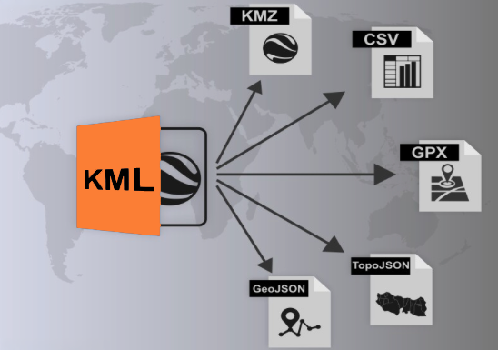
Every project starts with a scope and briefing. The area of interest is defined and exported to a KML/KMZ boundary that drives the entire mission.
 02
02Flight Planning & Control
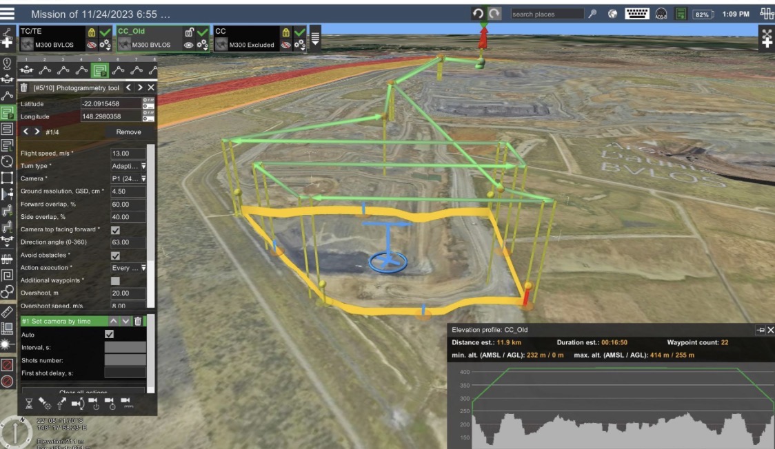
The mission is engineered in UgCS — flight lines, altitude, overlap, and corridors planned for full, even coverage of the site.
 03
03Ground Control Points
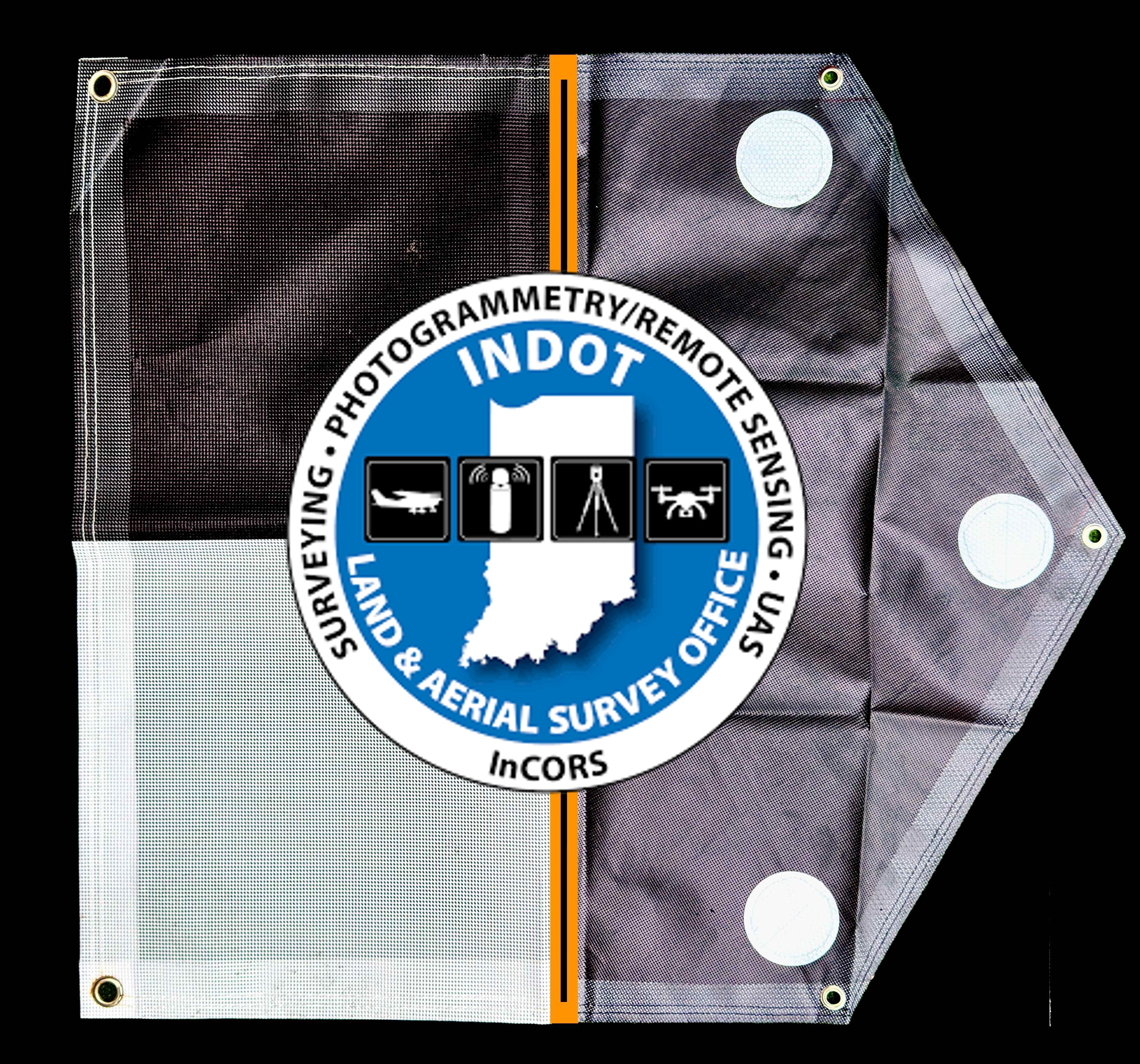
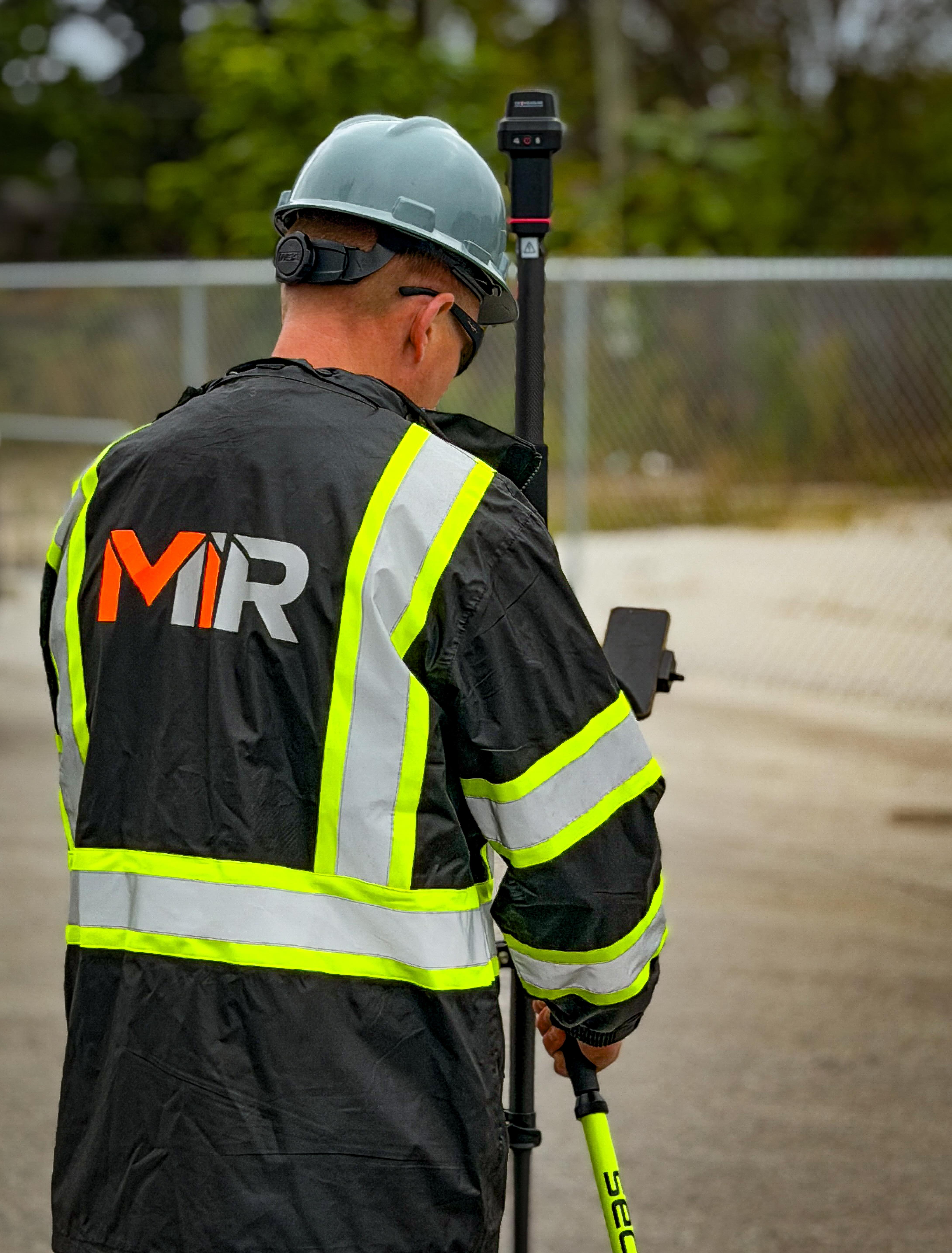
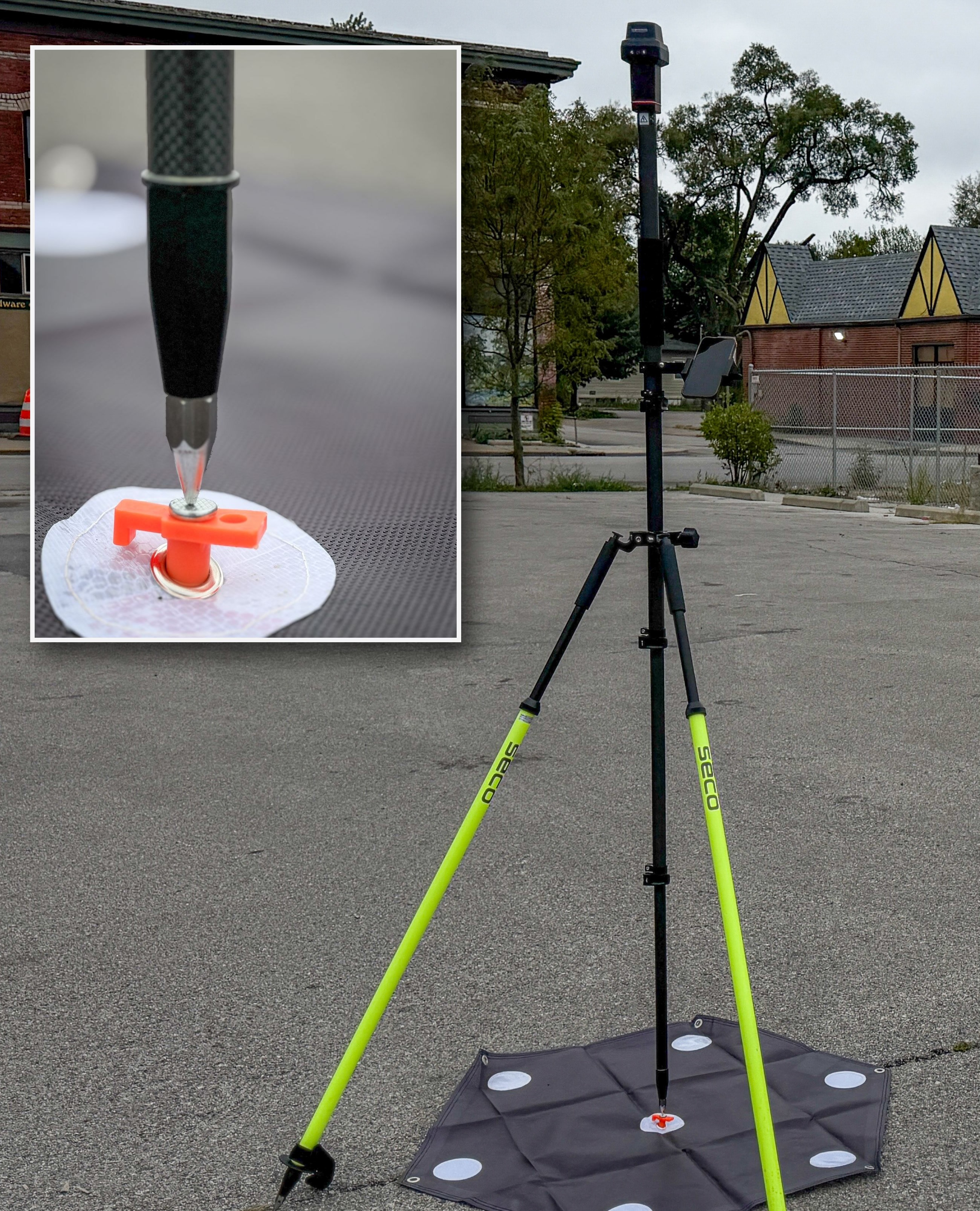
RTK ground control and independent check points are measured in — dual LiDAR and RGB targets tied to the INDOT InCORS network.
Verified — Checked against surveyed control on every project
 04
04Fly Project
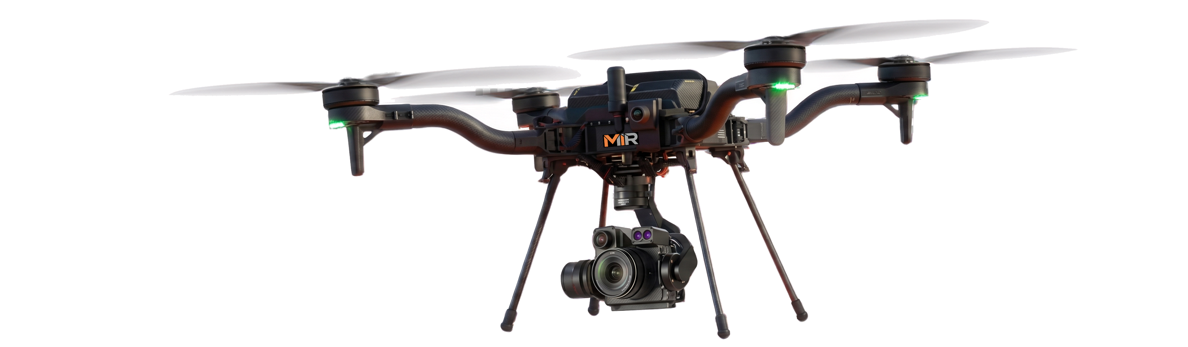
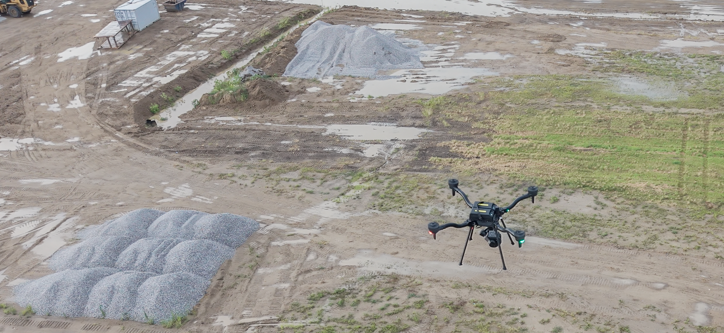
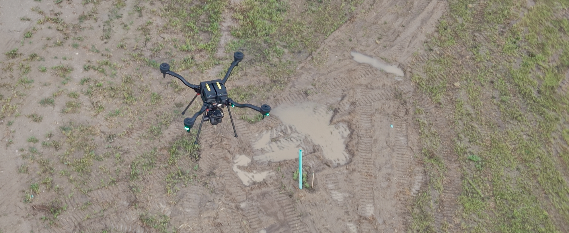
The planned mission is flown with the Freefly Astro, capturing the full site with LiDAR, high-resolution photogrammetry, and radiometric thermal.
 05
05Post-Processing
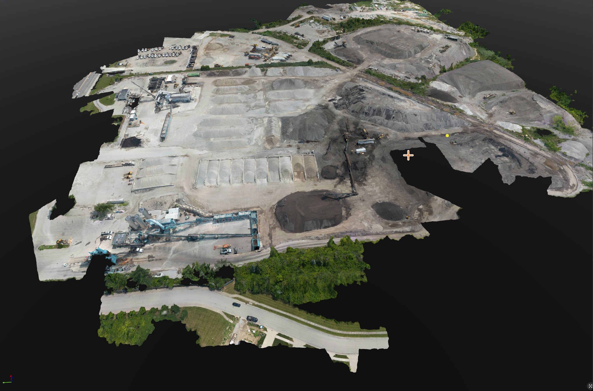
Imagery and point clouds are processed into orthomosaics, surfaces, and textured 3D models.
 06
06Delivery — Pix4Dcloud
The finished project is delivered through a Pix4D Cloud link to view, measure, and share.
The Payloads MIR Flies
Every mapping mission is flown on American-made, Blue UAS Cleared hardware — the same aircraft and calibrated sensors on each project, tied to survey-grade RTK control so orthomosaics, point clouds, and models are consistent and verifiable.
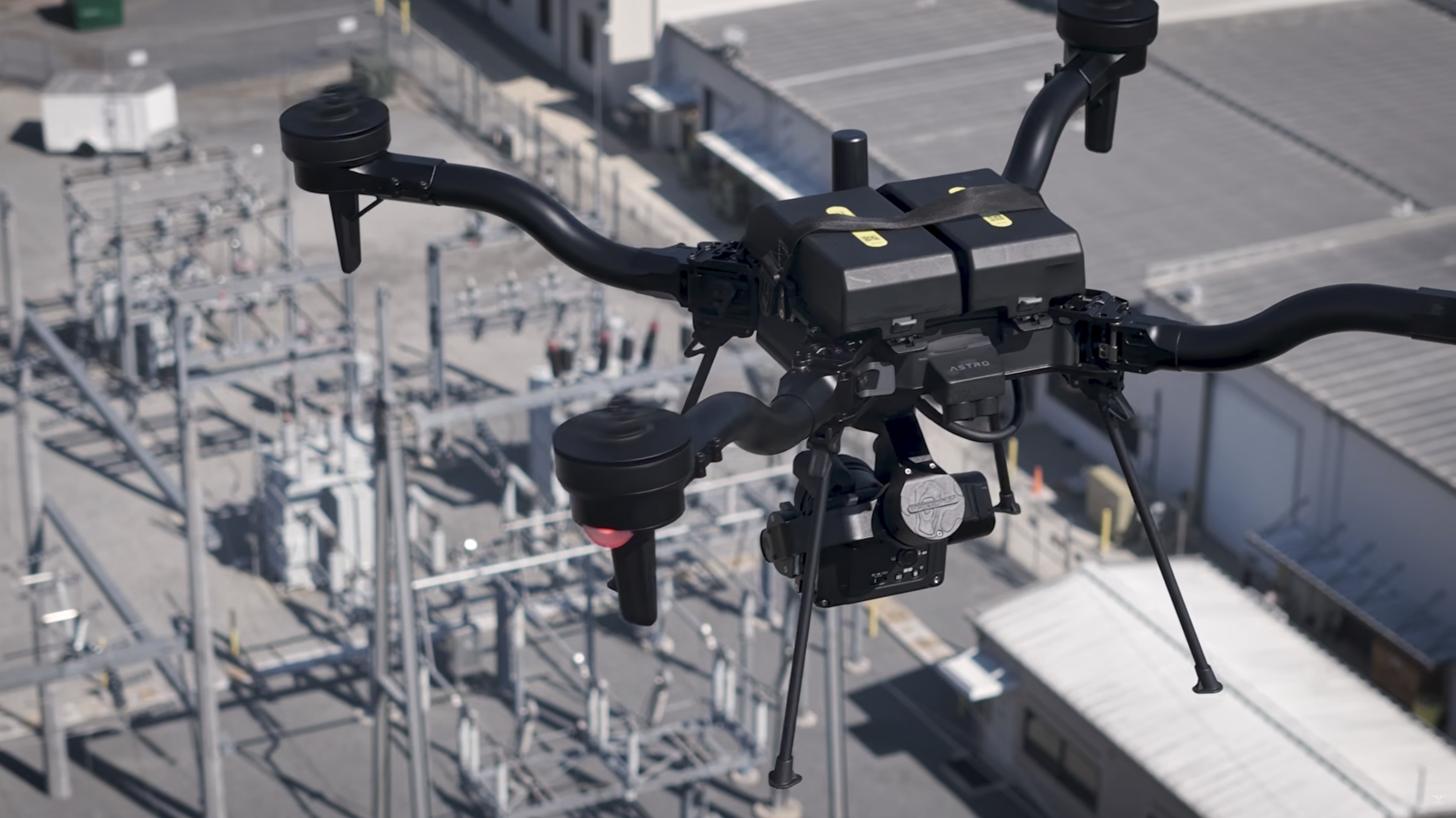
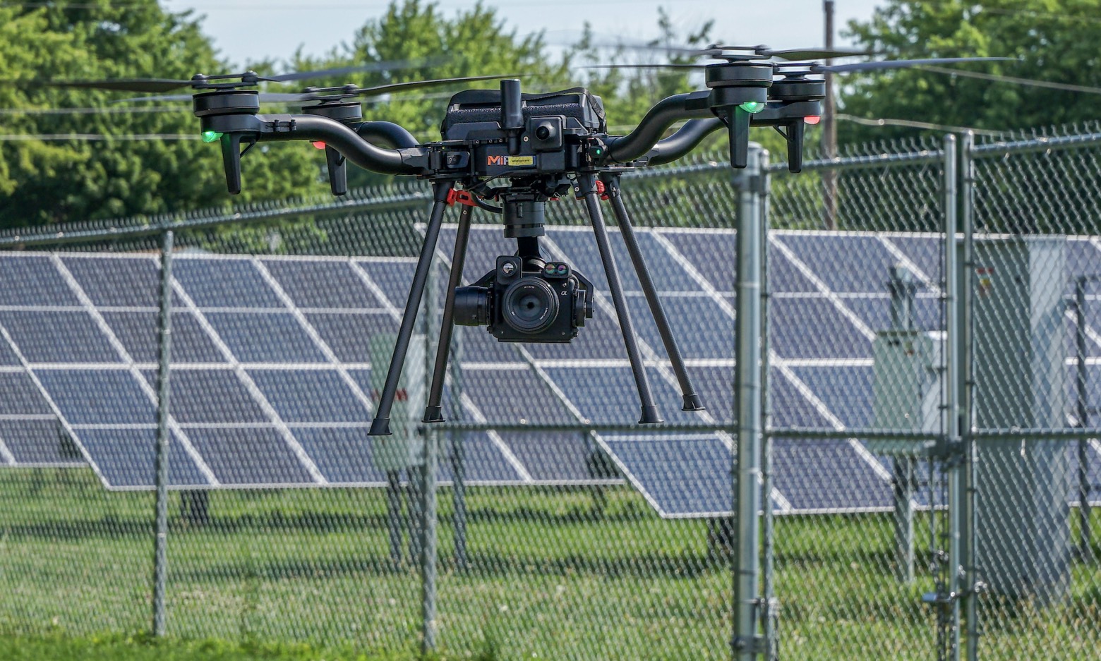
Freefly Astro
Blue UAS Cleared Aircraft
American-made airframe cleared for sensitive and regulated sites, flown with a redundant second aircraft so a mission is never grounded by a single point of failure.
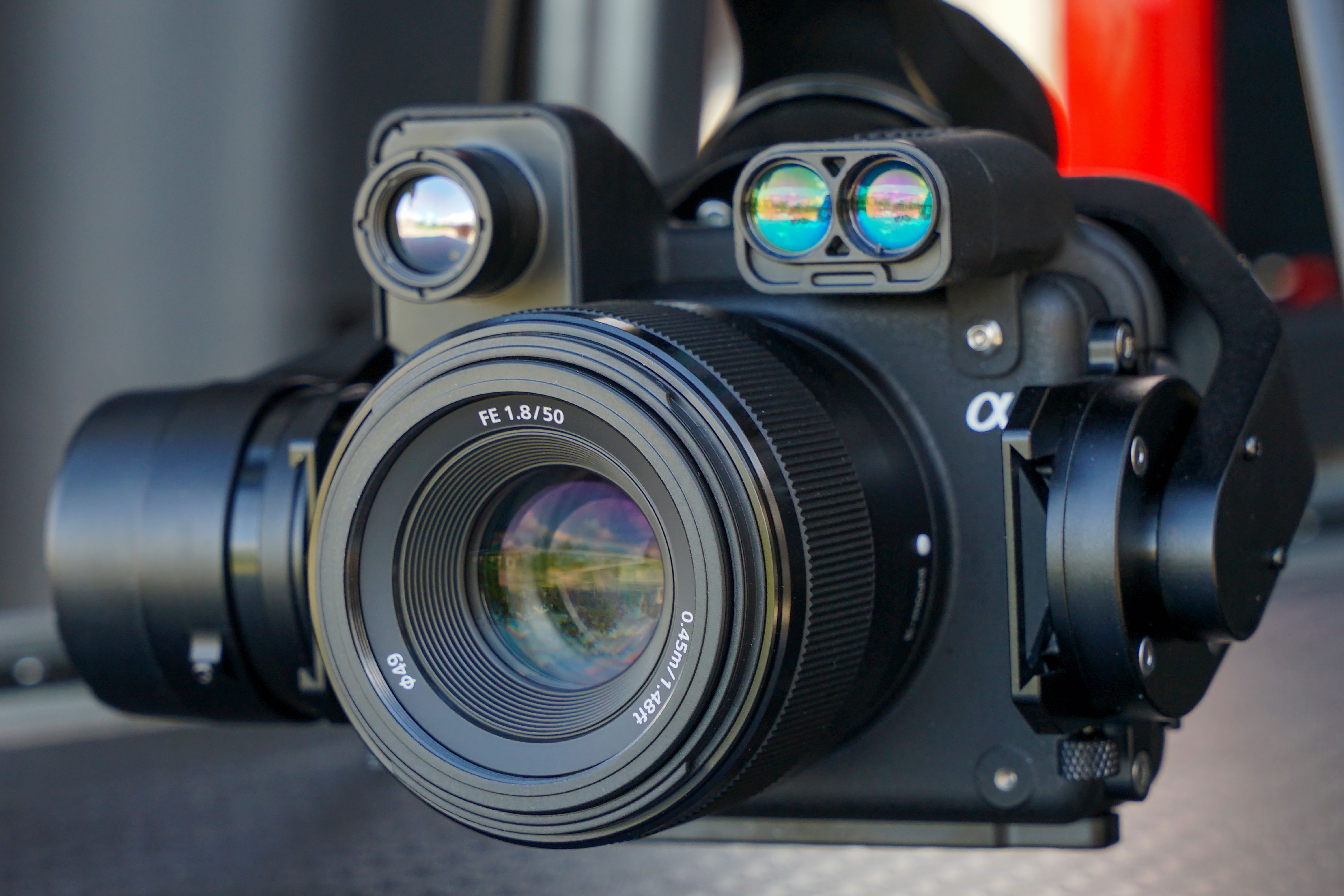
Sony ILX-LR1
61MP Full-Frame RGB
Full-frame 61-megapixel capture drives high-resolution orthomosaics and photogrammetric surfaces with the detail needed for measurable site records.
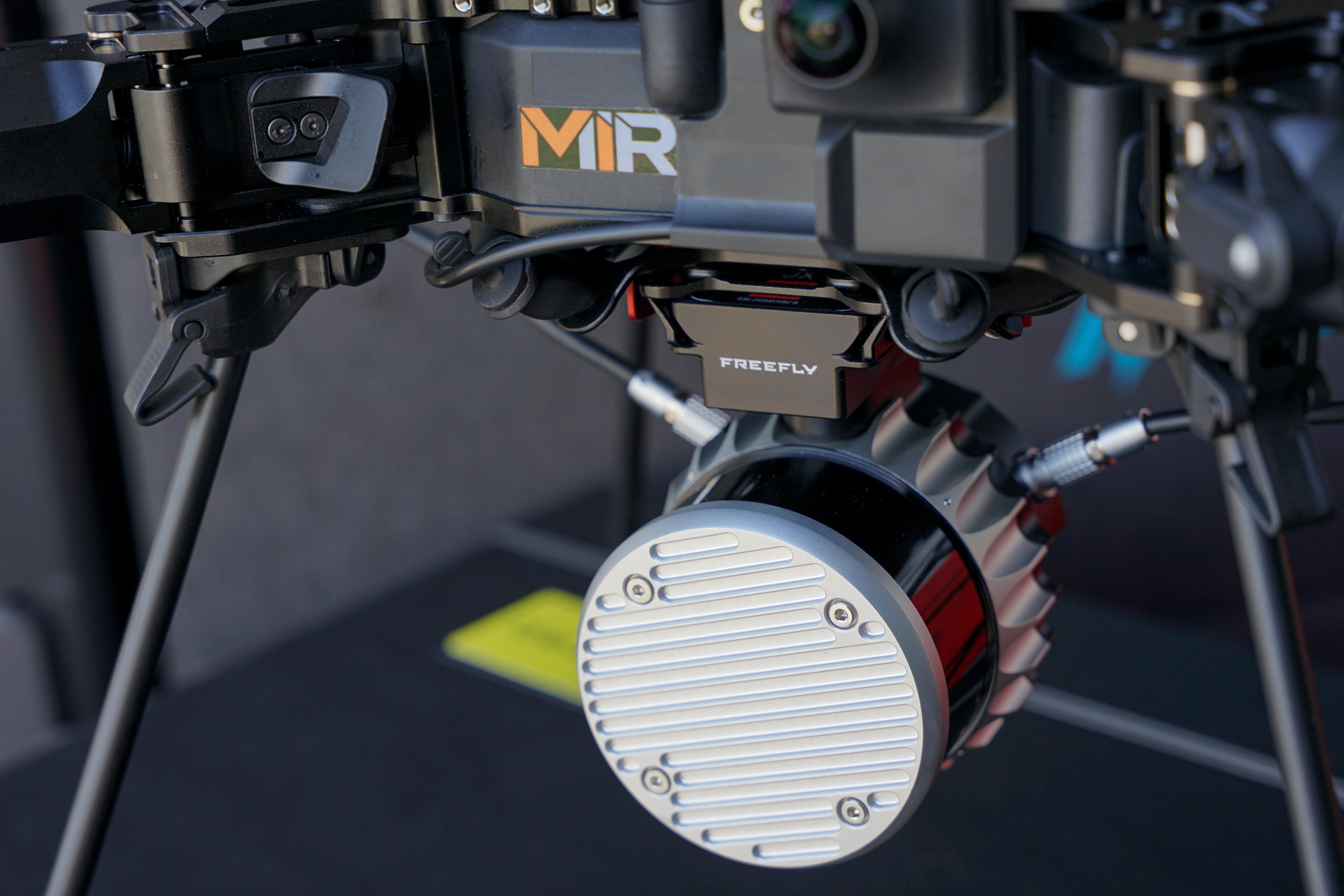
Freefly Flux O1
Survey-Grade LiDAR
High-density LiDAR captures dense 3D point clouds through vegetation and complex structure — measurable geometry for corridors, terrain, and volumes where photogrammetry alone falls short. Running Freefly Flow on the Astro, a measurable point cloud is built right in the field, so coverage and accuracy can be verified on site before the aircraft leaves the ground.
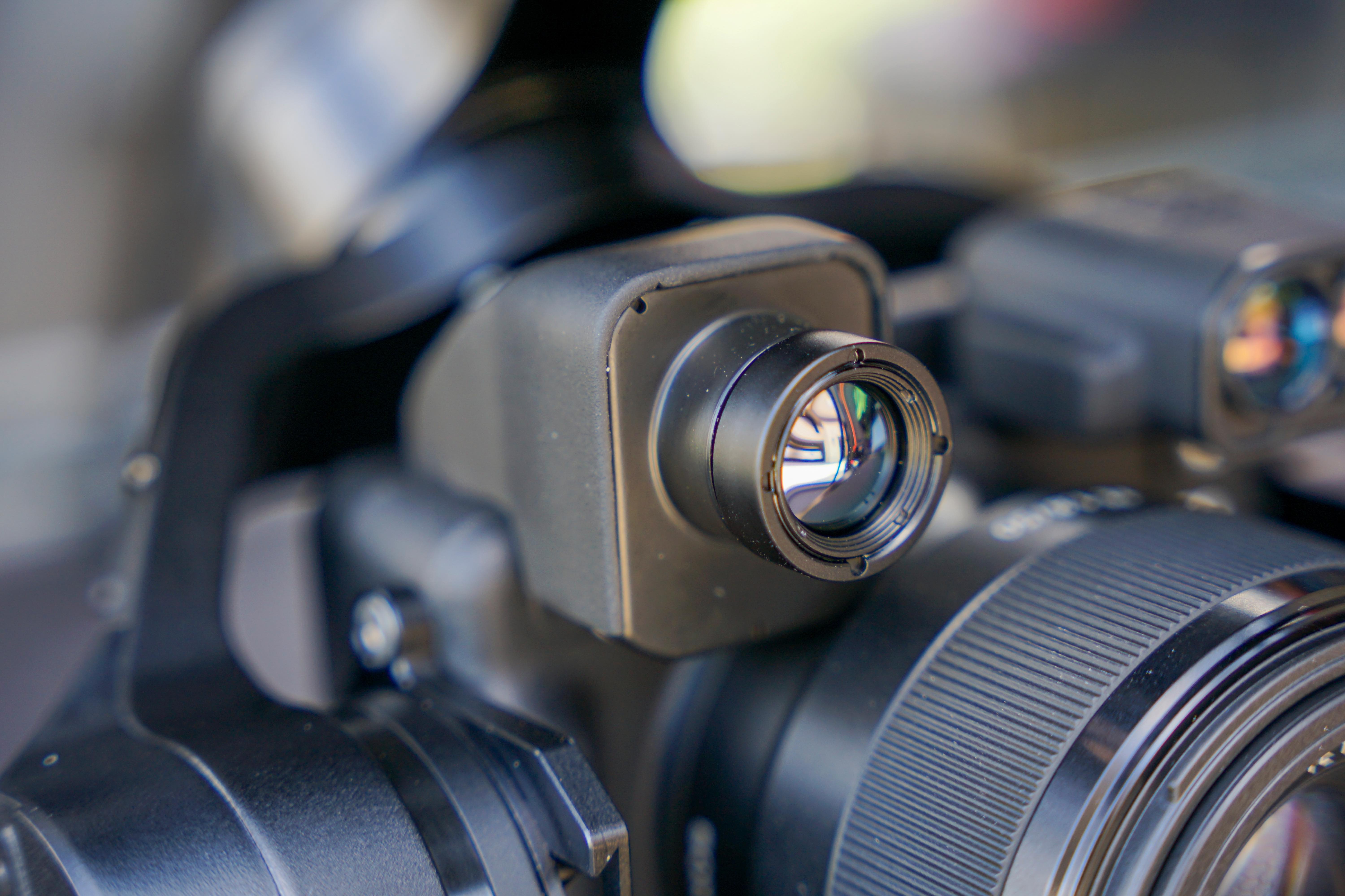
FLIR Boson+ 640
640×512 Radiometric LWIR
Temperature-calibrated radiometric thermal now flies on mapping missions — processed in Pix4Dmatic into georeferenced thermal orthomosaics so an entire site is mapped for heat anomalies, every pixel carrying a measurable temperature reading.
InCORS RTK Control
Survey-Grade Positioning
Every mission ties to the InCORS RTK network and surveyed ground control — LiDAR GCPs and check points plus RGB GCPs and check points — so both point clouds and imagery are verified to survey-grade accuracy.
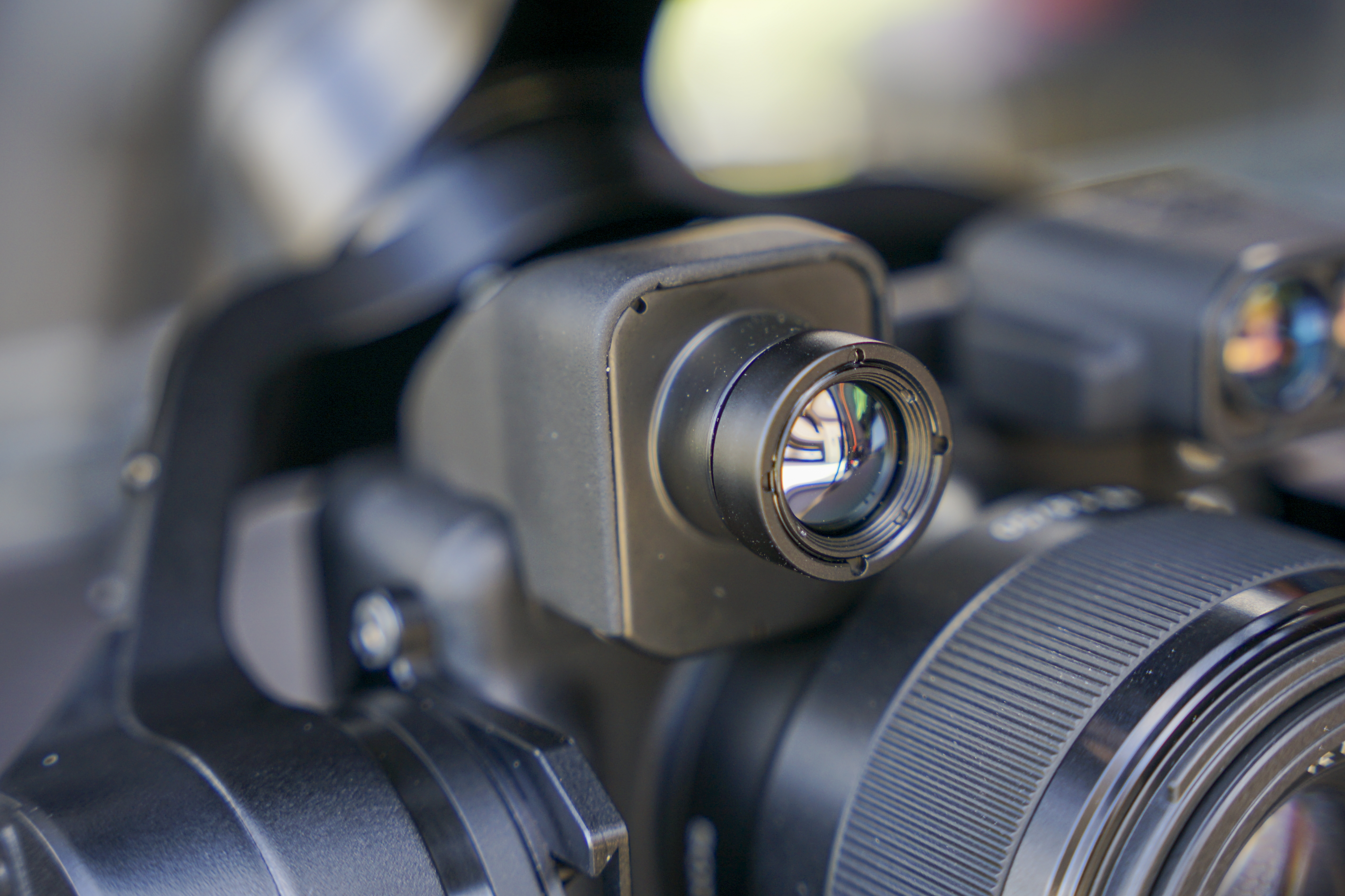
Laser Rangefinder
Direct Distance & Clearance
When a photo is captured, the distance readout at that time is also saved in the image metadata.
Every Deliverable From One Dataset
Every layer is derived from the same RTK-referenced survey dataset, so they line up exactly. Drag the handle to peel one deliverable back and reveal the next.
- Deliverable layers
- 4
- Georeferencing
- RTK
- Survey-controlled
- GCP
- Cloud delivery
- Pix4D
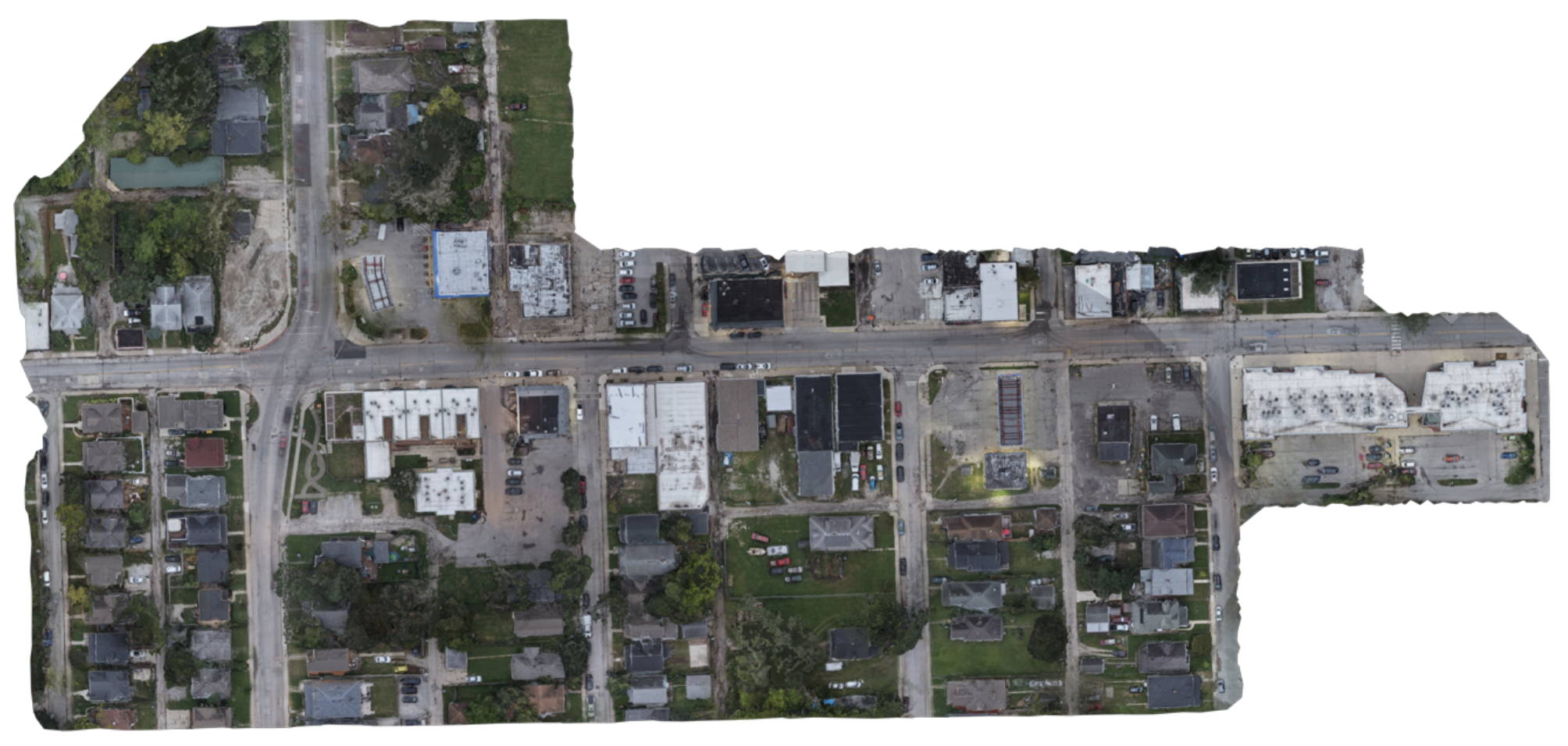
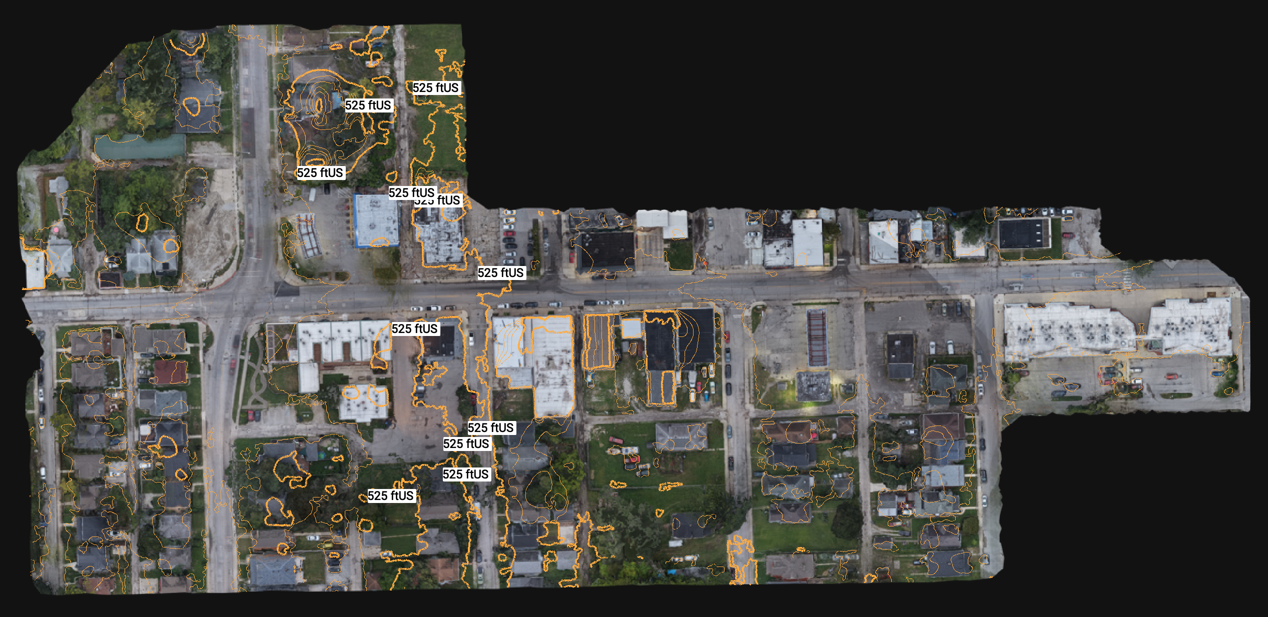
RTK-referenced true-color base map.
What Measurable Site Data Is Worth
A surveyed-grade dataset is more than a picture of the site — it is a measurable record your team can plan, quantify, and build against, captured in a fraction of the time of a ground crew.
- 01
Measure Without a Site Visit
Distances, areas, volumes, and elevations come straight off the model — quantify stockpiles and cut/fill without sending a crew back out.
- 02
Survey-Verified Accuracy
Every model is checked against independent RTK check points and reported before it ships — so the numbers hold up when your team acts on them.
- 03
A Whole Site in One Flight
One planned mission captures the entire site at once — days of ground survey compressed into a single flight, with no gaps between shots.
- 04
One Capture, Many Deliverables
Orthomosaics, surfaces, point clouds, contours, 3D models, and quantities all come from the same flight — one dataset feeding every downstream need.
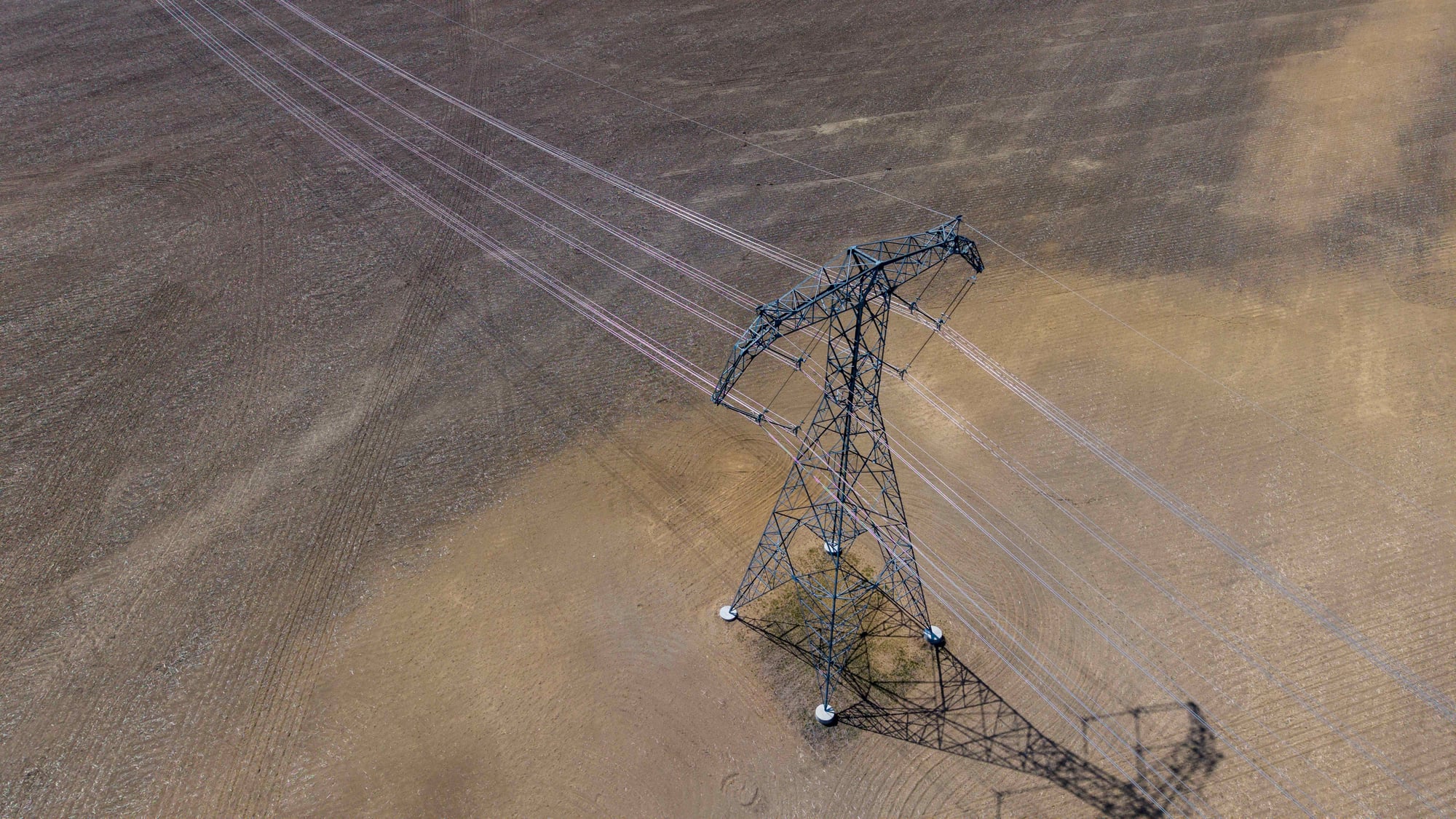
Industries Served
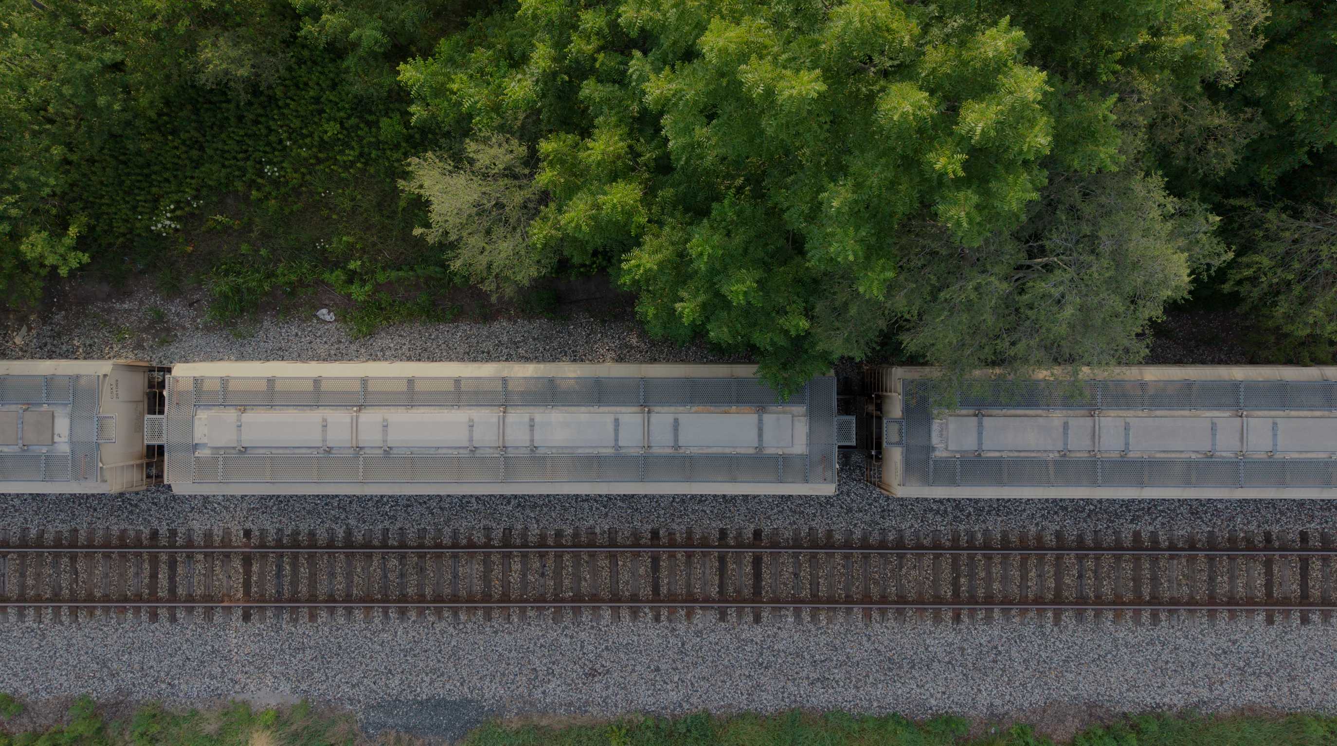
Teams who rely on MIR mapping for measurable, defensible site data they can build and plan against.
Start With the Project Objective
Bring MIR Your Next Site or Asset
Share what needs to be inspected, mapped, measured, documented, or reviewed. MIR will help determine the appropriate collection method, payload, mission structure, and deliverables — from flight plan to field deployment.